
Trail guides from the field, checked before you go.
Boramundo turns tracks recorded on the trail into clear route guides. Every public guide is reviewed by a moderator, and what we don’t know stays marked as unknown.

Why Boramundo exists
Information about a route is usually scattered: a GPS file, an old forum thread, a photo of a trailhead sign, a friend’s message and a map that no longer matches the ground. Before a hike you spend an evening piecing it together and still aren’t sure where the trail starts.
We gather that work into one page: the track, its segments, access points, places along the way and the gaps we haven’t checked yet. A page you can read at home and open again on the trail.
How a guide is made
From the phone on the trail to the public page, every step leaves a record.
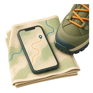
Recorded in the field
The mapper records the track, photos, signal and notes, even offline.
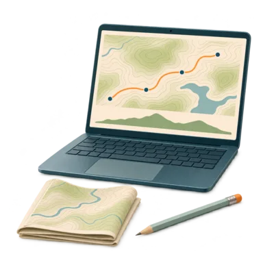
Structured in the editor
Track, segments, access and places become a structured draft.
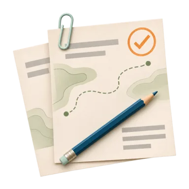
Reviewed by a moderator
A moderator checks the draft, sends it back with comments or approves it.
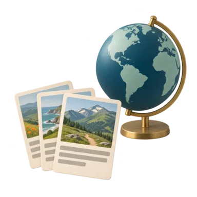
Published and localized
The approved version appears in the catalog and is adapted to other languages.
What we hold to
- Honest data
- We never present a desk source as a field check. Unknown stays marked as unknown.
- Moderated before publishing
- Every public version is reviewed; private edits never change the accepted guide.
- The local language first
- A route guide is written first in the language of the country where the trail is, then adapted for other readers.
- Private by default
- Drafts, photos and field records stay private until publication.
Boramundo team
The Boramundo project team publishes practical guides to help you prepare for a day outdoors, drawing on the primary sources linked in each article.
We use AI tools to assist with drafting and equipment illustrations. Publication, substantive updates and source checks have separate dates.
Want to map a trail with us? Mapper guide
Choose your next trail
Browse the catalog or open the map and see what is near you.