
How to read the trail map
On an ordinary map every forest trail looks the same. We mark what they are really like: where the path is wide and dry, where you push through bushes, where you need your hands and where to take care.

The essentials in 10 seconds
Each mark has a colour, and the colour tells you how much it matters.
- Red: dangerousTake care, especially with children.
- Dark: in the wayPassable, but harder going.
- Brown: underfootFootbridges, steps, gates. Good landmarks.
- Blue: waterWet ground, fords, beaches at low tide.
How easy it is to get through
A coloured band appears under the trail line. It shows one thing only: how hard that stretch is to walk.
-
No band: easy going
A normal trail: people walked it recently and reported nothing.
-
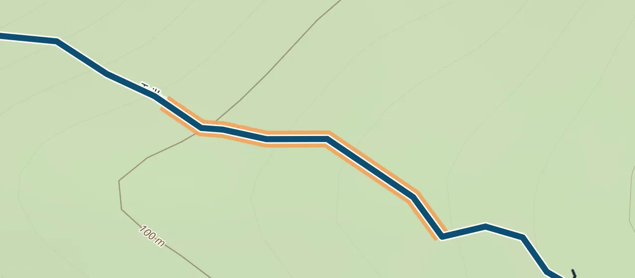
Orange: awkward
Passable but unpleasant: bushes, mud, stones underfoot.
-
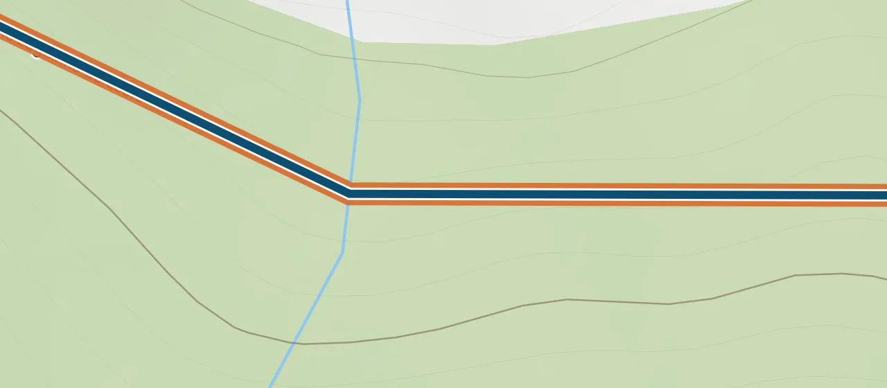
Rust: hard
Slow and tiring. With small children, pick another way.
-
Grey dashes: nobody has reported
We do not know what the trail is like. It does not mean “fine”.
What gets in the way
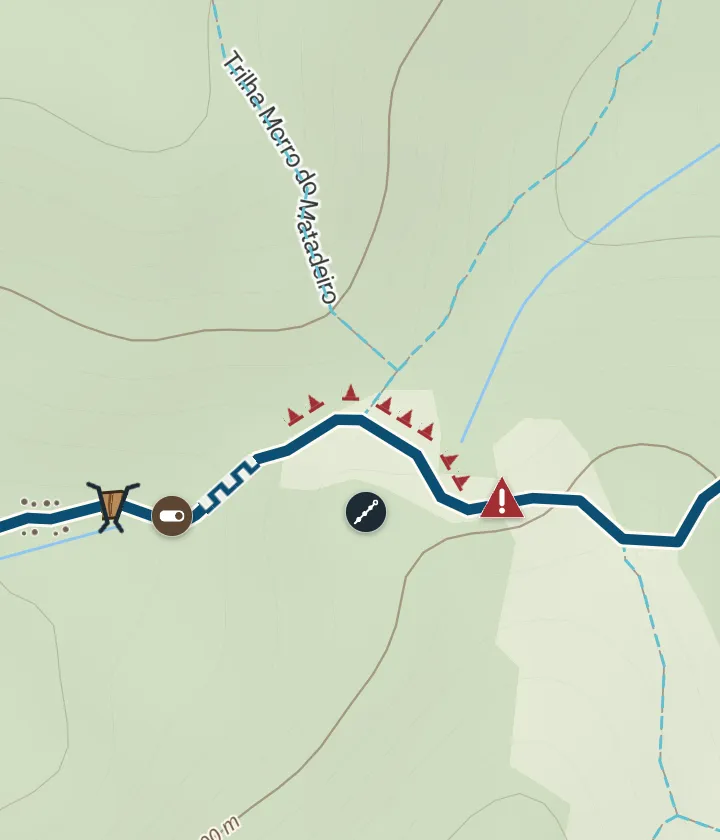
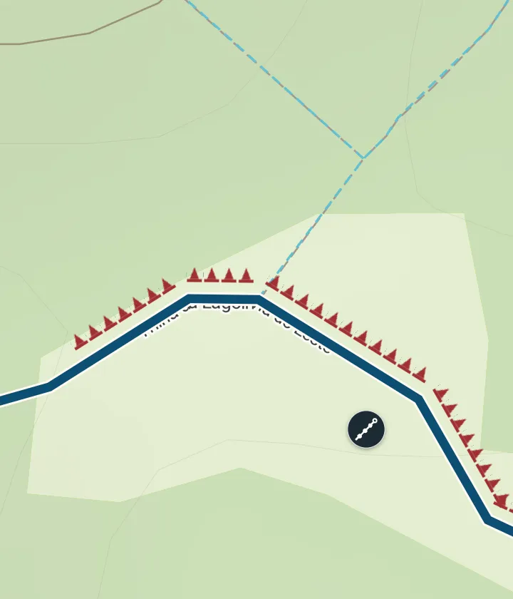
The reason shows when you zoom in. From afar you only see the band, so the map stays clean.
-
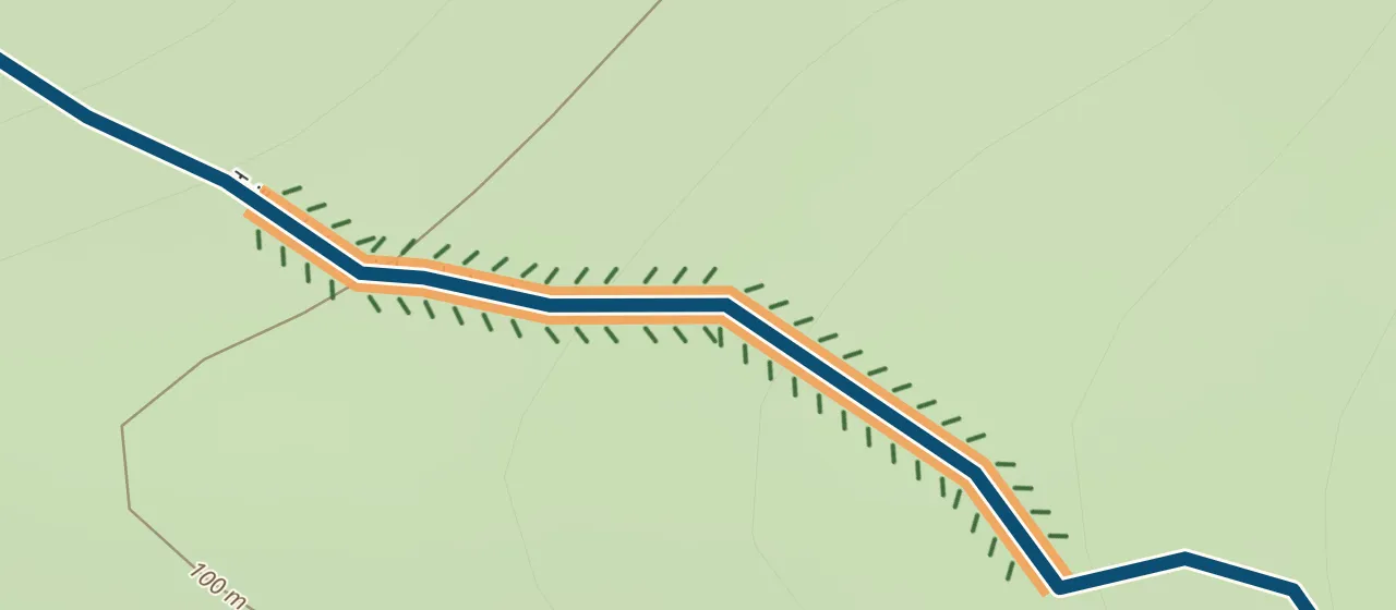
Overgrowth
Ticks along the edges. Branches snag clothes — wear long sleeves.
-
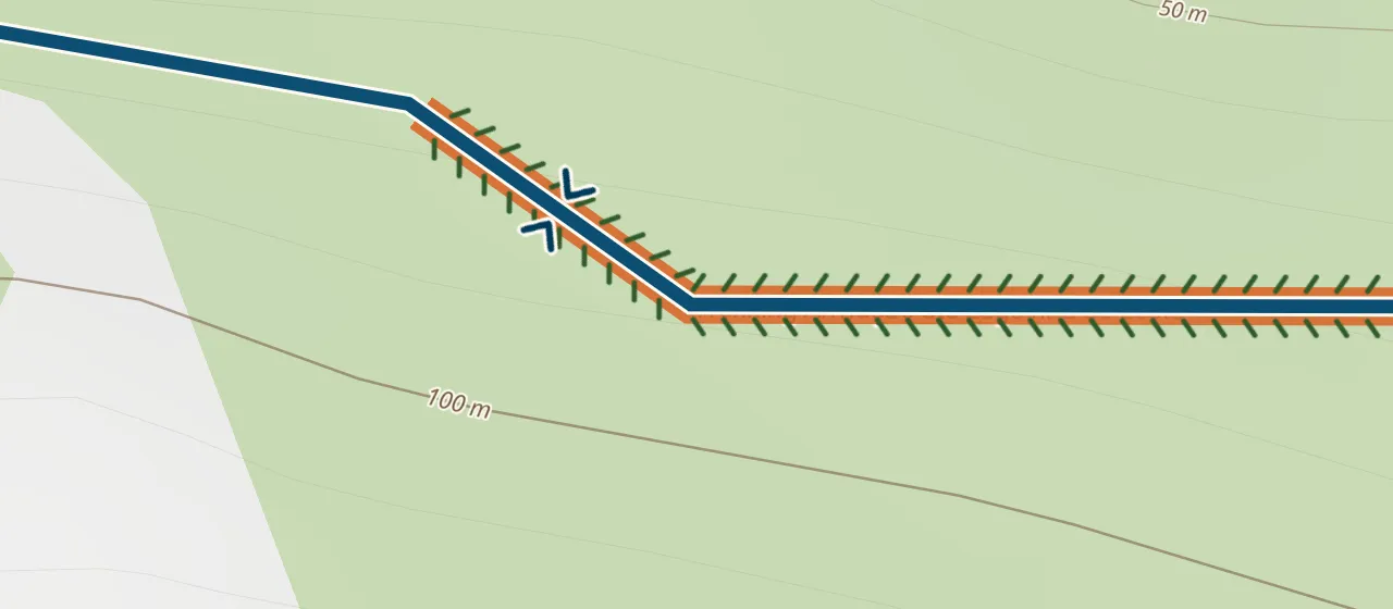
Very narrow
Less than half a metre between the bushes. A backpack may catch; two people cannot pass.
-
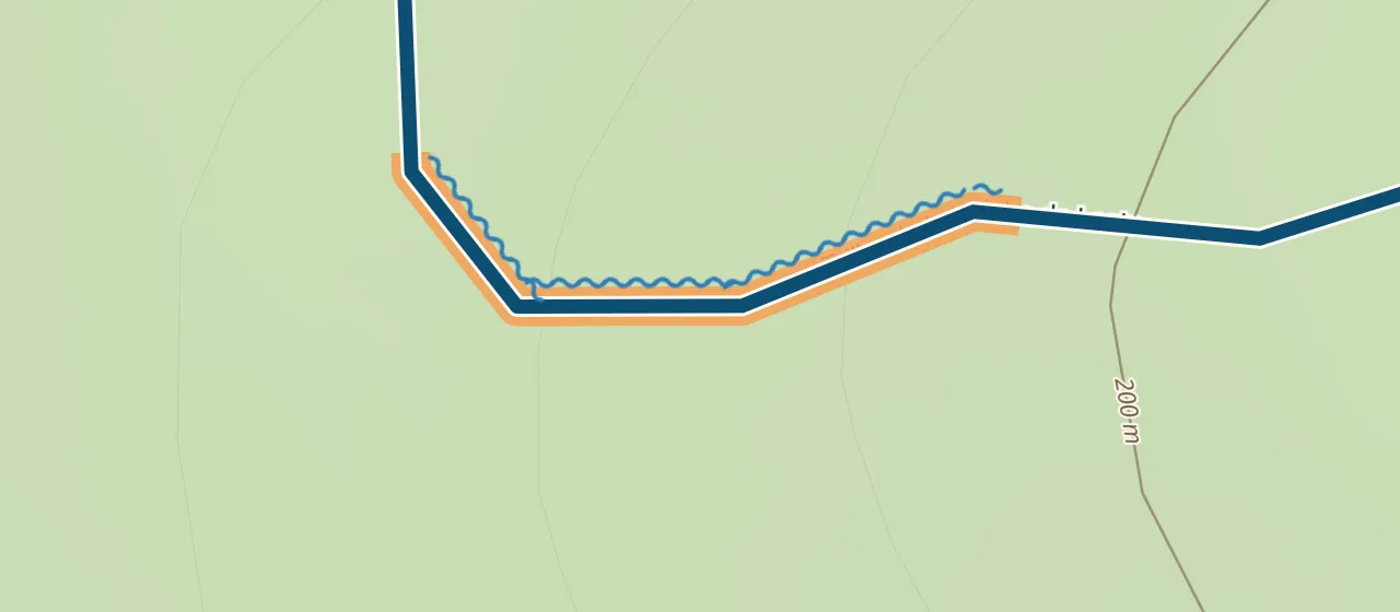
Wet and muddy
Blue ripples on the wet side. After rain the mud can be ankle-deep.
-
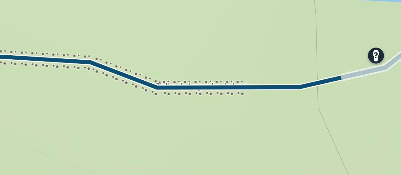
Loose stones
Small stones along the trail; your feet slide, especially going down.
-
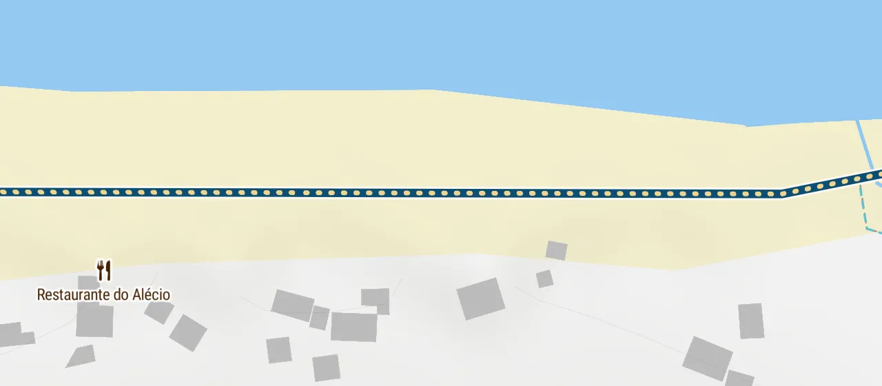
Sand
Sandy dots on the line. Slower going; sand tires your legs.
- 32%
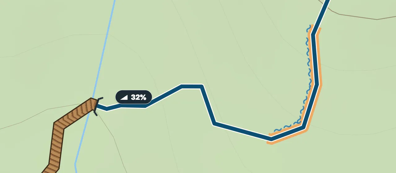
Steep climb
A gradient badge at the start of the stretch. Hard and hot — pace yourself.
-
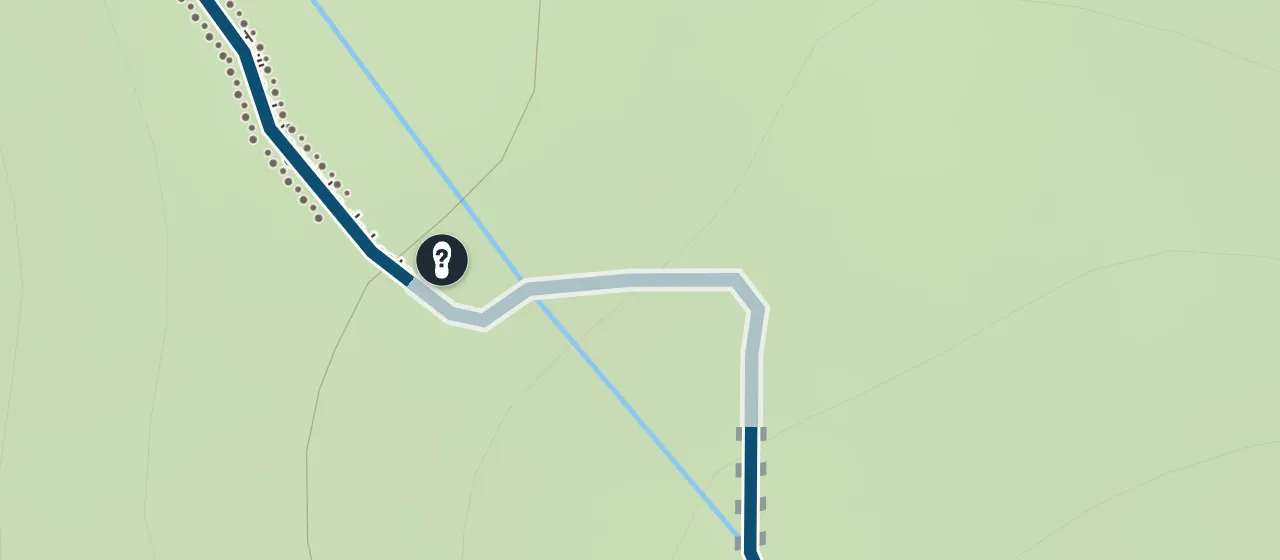
Trail fades
The line turns pale. The path is hard to see on the ground — keep your direction and look for the next landmark.
Where you need your hands, and where it is dangerous
-
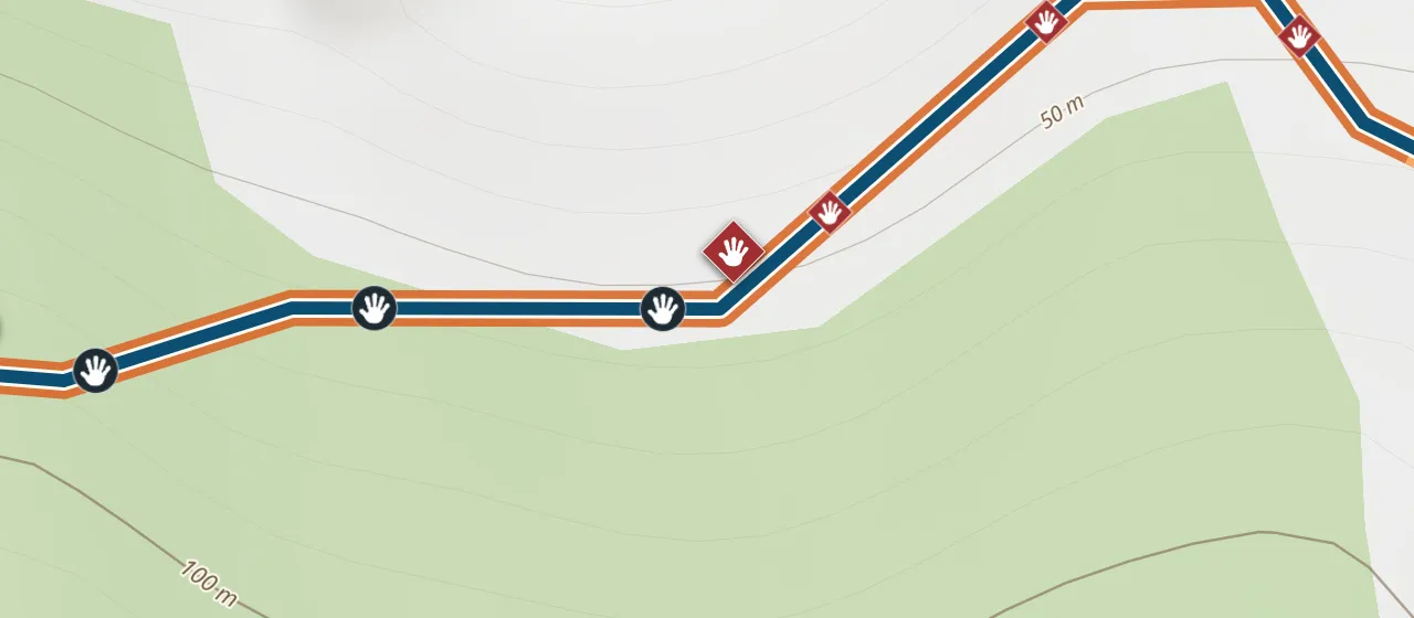
Hands needed
You will climb over boulders or go up using your hands. Clumsy walkers and small children need an adult’s help.
-
Dangerous, climb with hands
There is a drop nearby: a slip can mean a fall. Doable without gear, but slowly and carefully. Not for children.
-
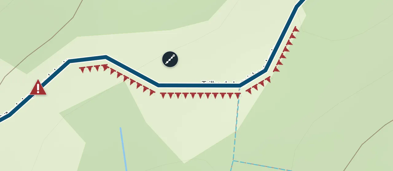
Hazard
A fallen tree, a washout, a broken footbridge. Tap the mark for details.
-
Drop at the side
Red teeth on the side of the drop. Keep to the other edge.
-
Rope
A knotted rope is fixed at a hard spot. Check that it holds before you pull.
What is underfoot
Brown marks are things you can easily recognise on the spot. Use them to check you are on the right way.
-
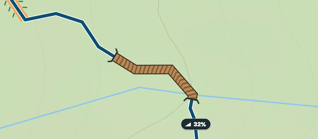
Boardwalk or footbridge
A short brown stretch from afar; close up you see the planks.
-
Steps
The line turns into a staircase shape: up or down steps.
-
Log across the path
Step over it. A good landmark, but logs can be removed.
-
Gate
Close it behind you.
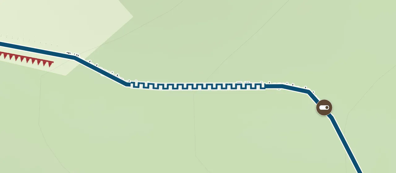
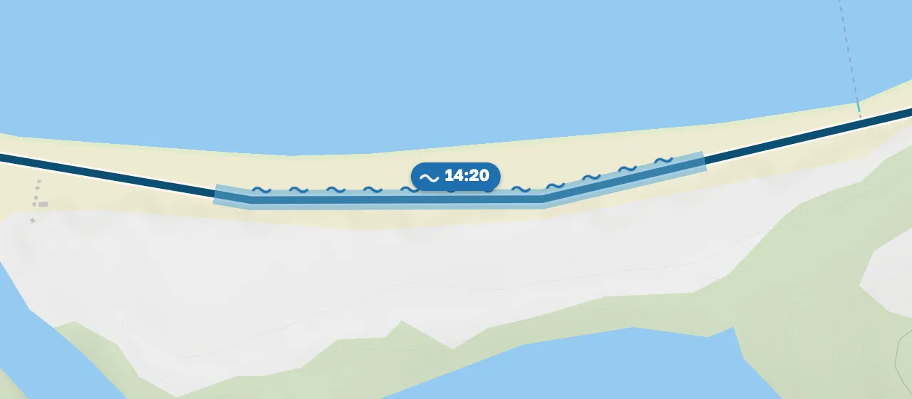
Water
-
Beach passable at low tide only
At high tide the water closes the way. The badge shows until when you can pass today.
At a fork
Where the trail splits, the worse branch is visible at once. Tap the fork for a short comparison.
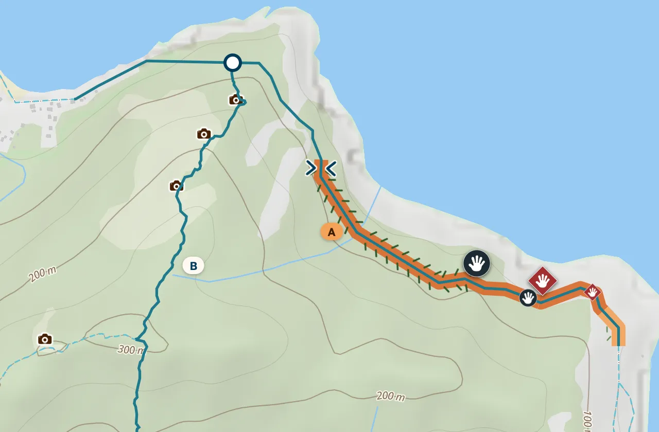
Shorter is not always faster: the forest way is 600 m longer but 10 minutes quicker.
The closer you look, the more you see
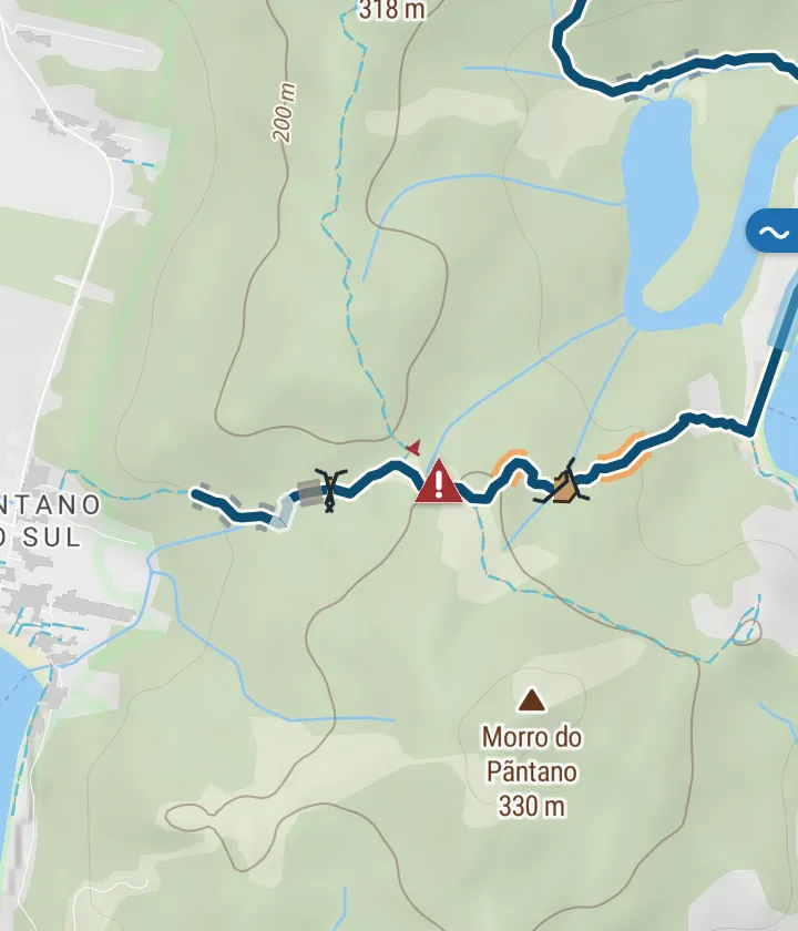
Strips under the route
In the route card the whole way is shown as strips, like an elevation profile: where the hard parts are, where it is sunny and where the signal drops.
Where marks come from and how far to trust them
Marks come from people who walked the trail: after a hike they select a stretch of their track and answer how it went, what was in the way and whether they needed their hands. We show the conclusion from recent reports.
-
Recent beats old
Older reports count for less. “Wet” lasts two weeks, “overgrown” three months.
-
Seasons count
A bog in the rainy season does not scare anyone in the dry season — and the other way round.
-
“Impassable” needs several reports
One person can be wrong, so a single report shows “hard” at most.
-
No reports, no conclusion
Grey dashes mean “we do not know”. Be the first to report.
Report a stretch yourself
After a hike, open your track, select a stretch with two points and answer three questions: how it went, what was in the way and how wide the gap is. You can add photos from that stretch. It takes half a minute and helps the next walkers.
Full legend
How easy it is
- Orange: awkward
- Rust: hard
- Grey dashes: nobody has reported
Dangerous
- Hazard
- Dangerous, climb with hands
- Drop at the side
In the way
- Hands needed
- Overgrowth
- Very narrow
- Loose stones
- Steep climb
- Trail fades
- Rope
- Sand
Underfoot
- Boardwalk or footbridge
- Steps
- Log across the path
- Gate
Water
- Wet and muddy
- Beach passable at low tide only
Questions
Why does my route not reroute around a hard stretch?
We show conditions but do not change your route ourselves: reports can be wrong and a detour can be worse. The choice is yours — forks come with a comparison.
A stretch is marked “hard” but I found it easy.
Report the stretch after your hike — a fresh report updates the conclusion for everyone.
Why is there so much grey?
Grey means nobody has reported yet. We never invent trail conditions, so we show honestly where data is missing.
Does it work offline?
Yes: marks are saved with the route’s offline map.