
Praia da Solidão
BeachObservedPoint
Start of the walk; OpenStreetMap lists it as Praia do Rio das Pacas.
-27.7947, -48.5348 · Observation date: · Source
The Saquinho Beach trail from Praia da Solidão (Solidão Beach) to Praia do Saquinho, there and back on the concrete path, with a side trip to the Cachoeira da…
Illustration based on our photos of this route
Short and flat. For everyone.
On this route

The Saquinho Beach trail from Praia da Solidão (Solidão Beach) to Praia do Saquinho, there and back on the concrete path, with a side trip to the Cachoeira da Solidão.
This is the short walk to Praia do Saquinho, starting from Solidão Beach. The full forest traverse to Naufragados is a different route. The way out is 0.9 mi on the map, including the descent to the beach; allow about 1.7 mi with the walk back. Plan on about 1 hour 30 minutes of walking, plus your time on the beach. These are planning estimates: this exact route was not timed separately. Local guides give 20 to 40 minutes for the way out alone.
On the Boramundo effort scale the trail is easy, but it does go up and down. The path climbs over a wooded hill and then drops towards the small community. NSC Total mentions two lookouts and a few steep climbs along the way. The concrete surface makes the route easy to follow. Steps, narrow sections and wet ground call for care. With school-age children it is a far calmer outing than the remote traverse further south. Turn back if you are tired or the weather turns.
Nobody has planned this trail for the next 7 days yet.
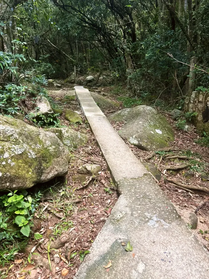
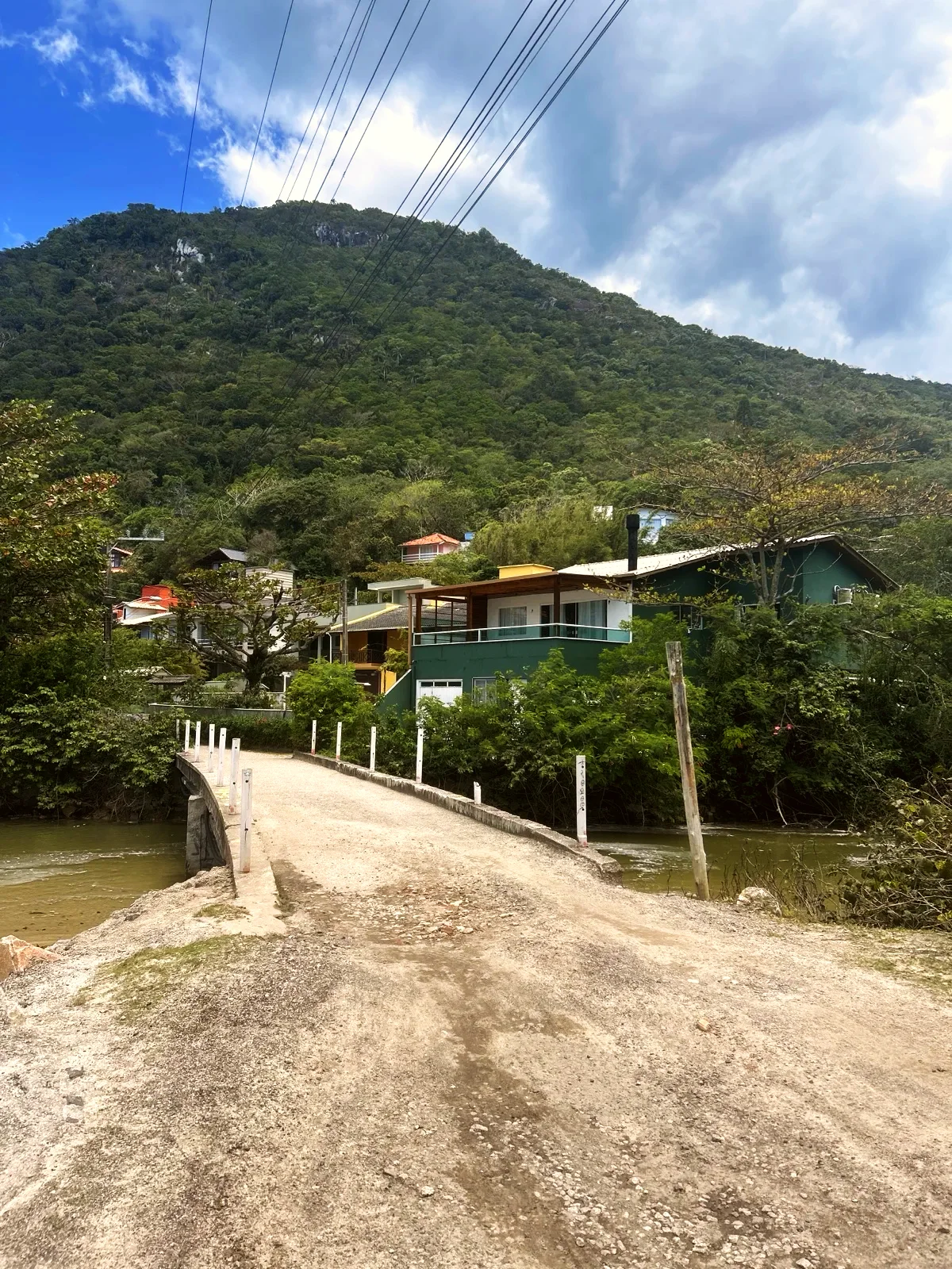
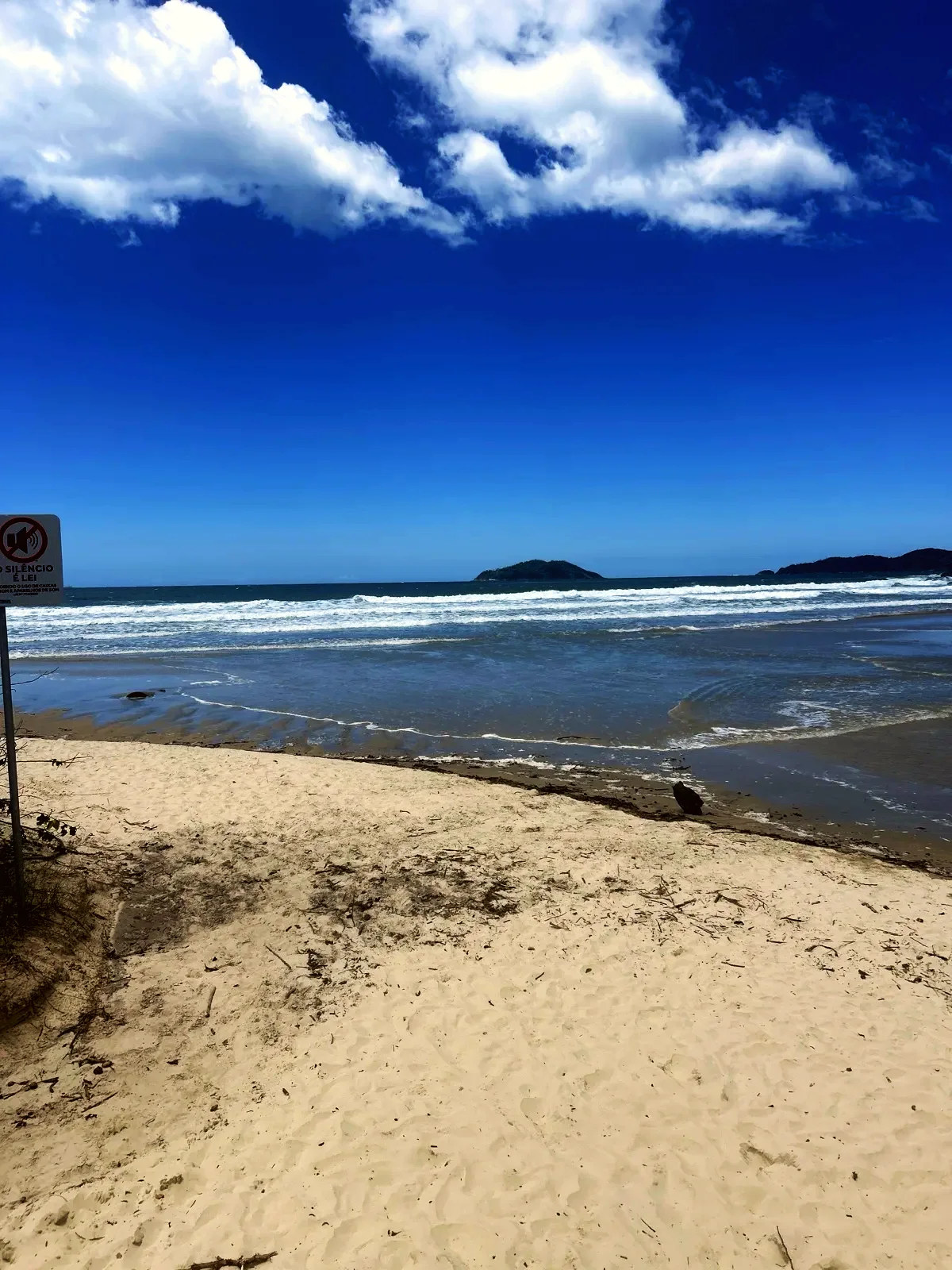
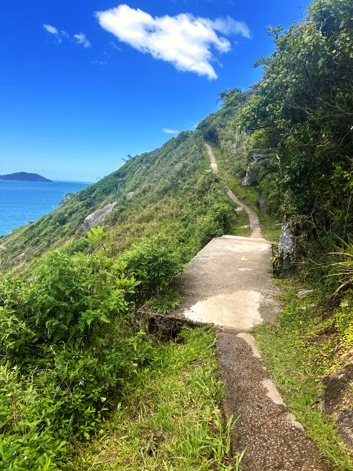
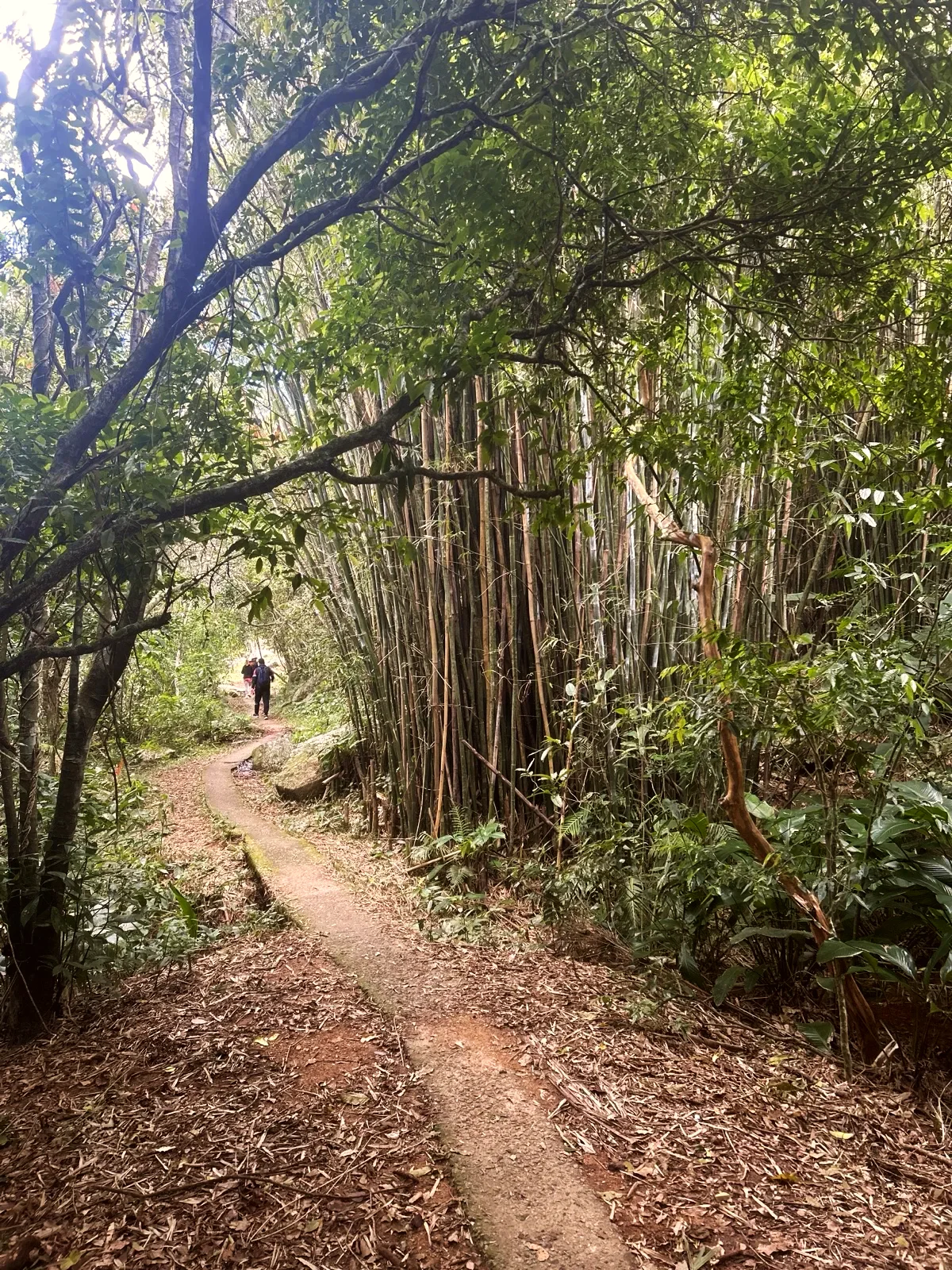
Start at Praia da Solidão, a small cove at the southern tip of the island that maps call Praia do Rio das Pacas. The sand runs for about 2 100 ft on the map; guides say 600 to 2 790 ft, because rocks close off both ends. Forest streams feed the Rio das Pacas, which reaches the sea here. Cross the bridge over the river: the Trilha do Saquinho starts a few metres further on. Follow the concrete path uphill through the trees. Our photo shows the narrow paving between large boulders. At around 1 480 ft the path runs above Ponta das Pacas, the rocky headland below.
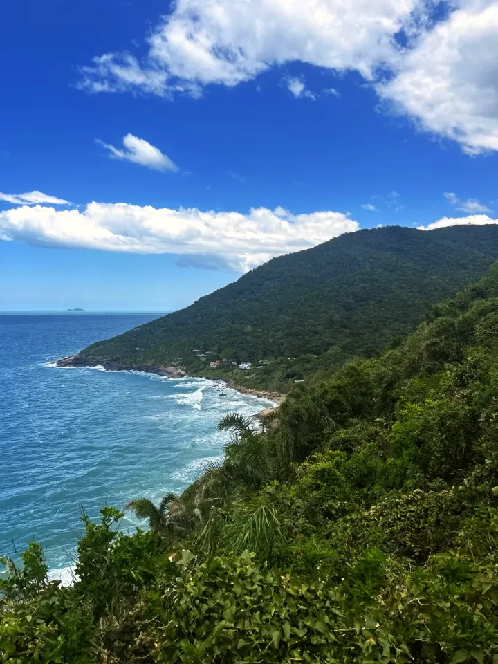
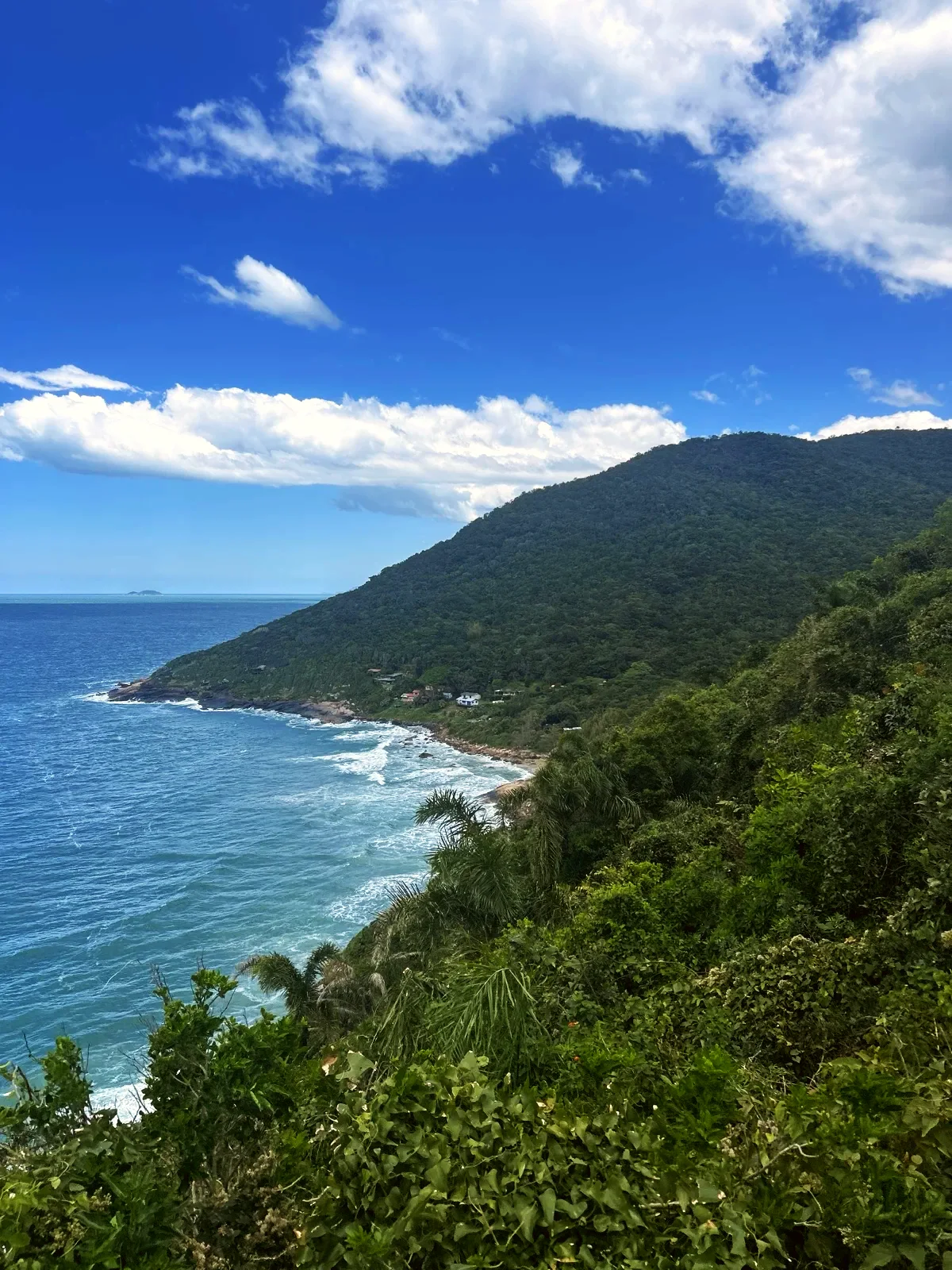
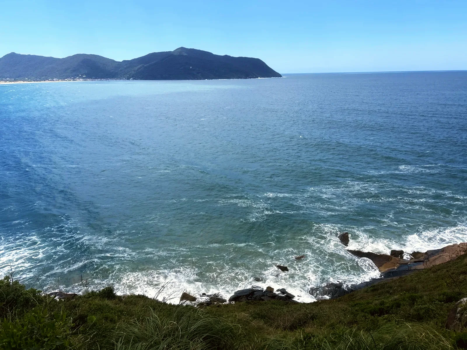
At the Mirante do Saquinho the forest opens onto the sea, the houses and the green hillside. Carry on through the Bambuzal do Saquinho and take the short mapped path down to Praia do Saquinho. The beach is tiny: about 250 ft of fine sand and a few dozen metres of rock, below a handful of fishermen's houses. The name comes from Azorean heritage: a "saquinho" is a corner sheltered from big waves and storm swells. The photo was taken on the approach, not on the sand.
Start and finish are at the same access point, on Praia da Solidão next to Rio das Pacas. Check parking before you set off. The long traverse and this short walk leave from the same spot. On the map, choose the out-and-back route to Praia do Saquinho, so the rest of the traverse does not become your navigation route.
In Saquinho, use the public paths between the houses. People live and work in this small community. Keep your voice down, take all your rubbish back and ask before photographing residents up close. A bar or restaurant on the map is no guarantee it will be open when you arrive. Carry what you need for the whole walk.
School-age children who can manage climbs and steps can come, always with an adult. "Easy" refers to effort; the narrow path and the stairs are no good for a pushchair. Trainers with good grip are enough in dry weather. Smooth soles become a problem on wet concrete, especially on the way down or when passing another group.
Bring water, a snack, sun protection and something for rain. Leave with enough daylight to get back without hurrying. The trees give shade on part of the path, but the lookout and the beach are exposed. After heavy rain, rethink the walk if the surface is slippery or the streams are high. The path ends at a beach with changeable sea: reaching it on foot does not make the water safe.
On our October walk we only found water in rivers. No drinking water source is confirmed here, so carry water from the start. We had mobile signal for roughly the first kilometre after Solidão. For planning, treat the beach and the rest of the section as having no signal: one phone's report on one day does not guarantee coverage. Save the route and your transport details before you leave.
Local guides call this concrete access from Solidão the Trilha do Saquinho. The same path is the start of the longer Solidão–Naufragados traverse, which is why descriptions quote such different distances. This route ends at Saquinho, where you return the same way rather than carrying on into the forest. If you continue past the beach, a dirt trail follows the rocky coast to Ponta do Pasto and Naufragados: about 2.8 mi one way, according to Trilhas em SC.
The approach and the photos come from the author's walk on 18 October 2026. The short link down to the beach follows OpenStreetMap way 464229380, using the map's original line. That section comes from the map; the author neither recorded nor photographed it. The illustration is based on the real view of the coast on the approach and is labelled as an illustration.
1.7 mi · 1:30 h
1.7 mi · 1:30 h
Zoom in to see photo thumbnails. Nearby photos form groups; larger groups reveal more as you zoom.
Map data from OpenStreetMap. It loads as you scroll to it.
Swipe through the walk from start to finish; the open map follows each photo.
Phone checks and walkers’ reports: Internet 0.5 mi Unstable 150 ft No internet 0.3 mi No data 350 ft latest observation
Coverage depends on the carrier and the weather. Grey dots: no observations yet.
Access paths are gray, warnings red. Camera markers show where each photo was taken and which way it looks.
The map or its tiles are unavailable. Route coordinates and information remain available as text.
Places shown: 6
BeachObservedPoint
Start of the walk; OpenStreetMap lists it as Praia do Rio das Pacas.
-27.7947, -48.5348 · Observation date: · Source
WaterfallPotentialPoint
End of the mapped Trilha Cachoeira da Solidão (OSM way 524155698); a branch we did not walk.
-27.7942, -48.5380 · Observation date: · Source
Water pointPotentialPoint
Map reference; drinking-water quality and times not confirmed.
A water point does not guarantee potable water or current availability.
-27.7949, -48.5351 · Observation date: · Source
ViewpointObservedPoint
Checked against the recorded walk and the field photos.
-27.8005, -48.5352 · Observation date: · Source
Rest stopObservedPoint
Bamboo grove and nearby water mentioned in a geolocated voice note. Water quality not checked.
-27.8024, -48.5379 · Observation date:
BeachPotentialPoint
Mapped end on the beach via concrete access 464229380; not a recorded beach visit.
-27.8040, -48.5371 · Observation date: · Source
Opens a 3D view with terrain from AWS Open Data, map tiles from OpenFreeMap and satellite imagery from MapTiler; these services receive your IP address.
The map or its tiles are unavailable. Route coordinates and information remain available as text.
Elevation estimated from open terrain data (Mapzen Terrain Tiles on AWS Open Data: SRTM, Copernicus and others).
Photos along the route. Open a photo to see it at full size.
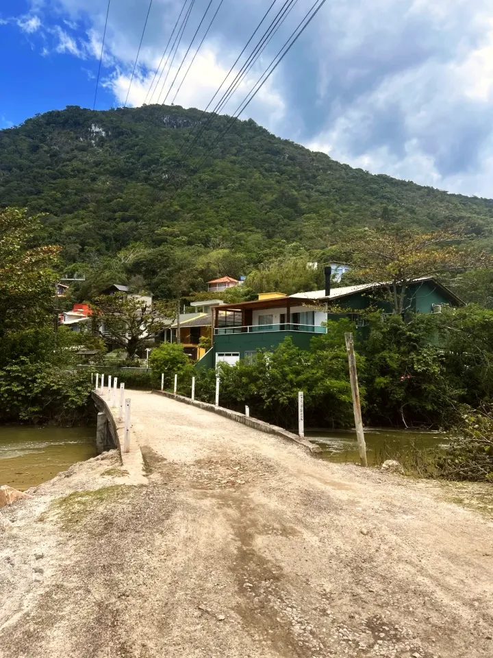
Bridge over Rio das Pacas at Praia da Solidão, where the trail starts.
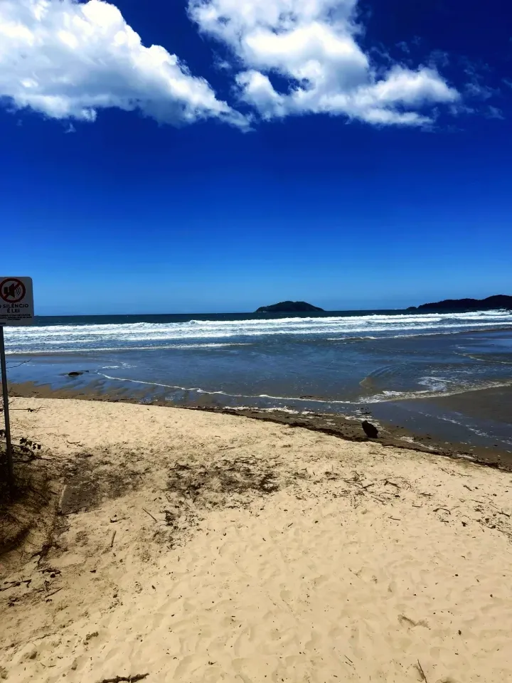
The sand of Praia da Solidão beside the bridge, with islands on the horizon.
Narrow concrete path between forest boulders, on the climb towards Saquinho.
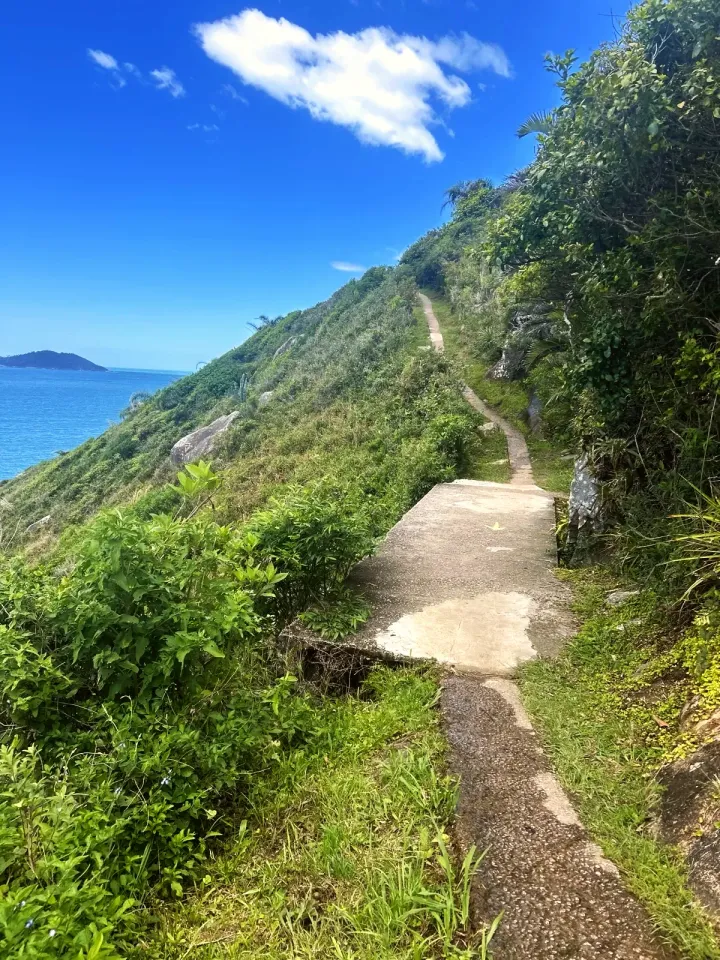
Concrete path on the hillside, with the sea on the left.
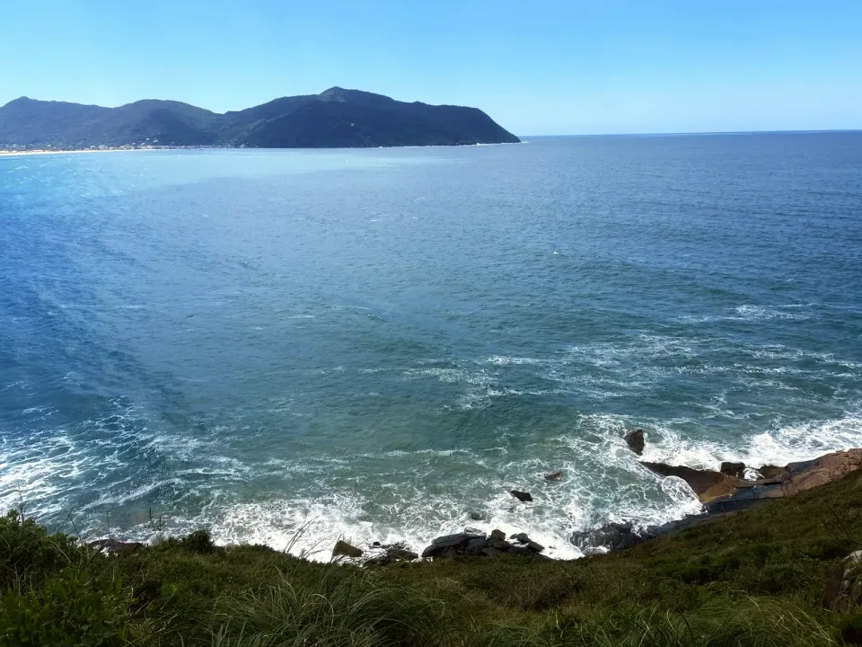
Open sea and the hill on the far side, seen from high up on the headland.
The Saquinho coastline and the houses below the forested hill.
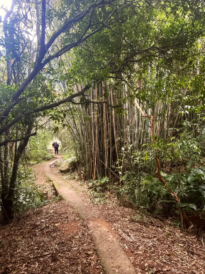
Narrow concrete path in the Bambuzal do Saquinho.
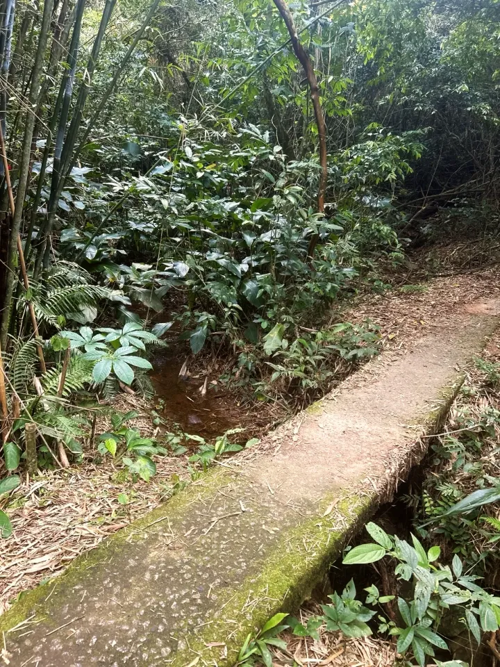
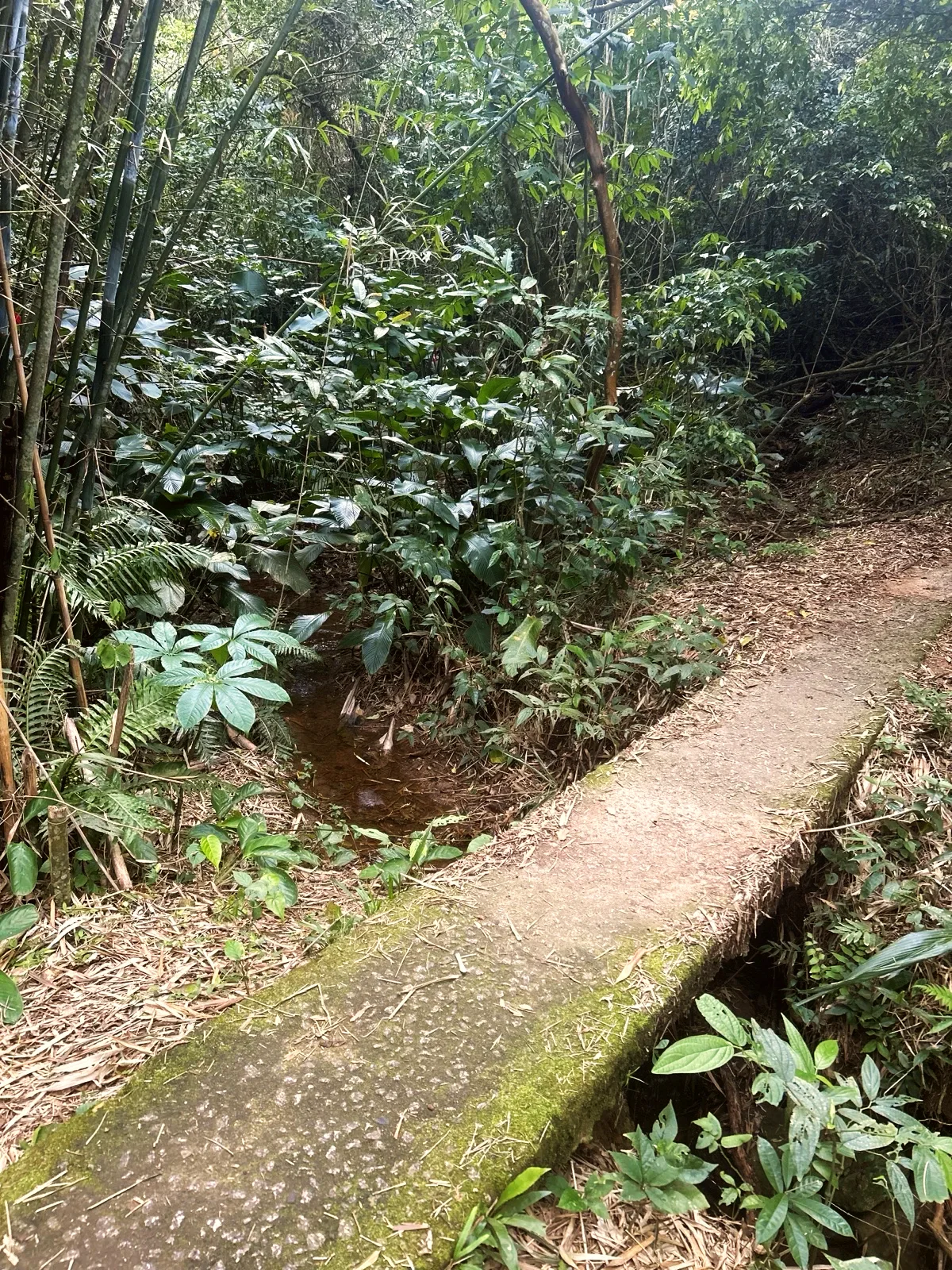
Concrete slab over a stream in the middle of the bamboo grove.
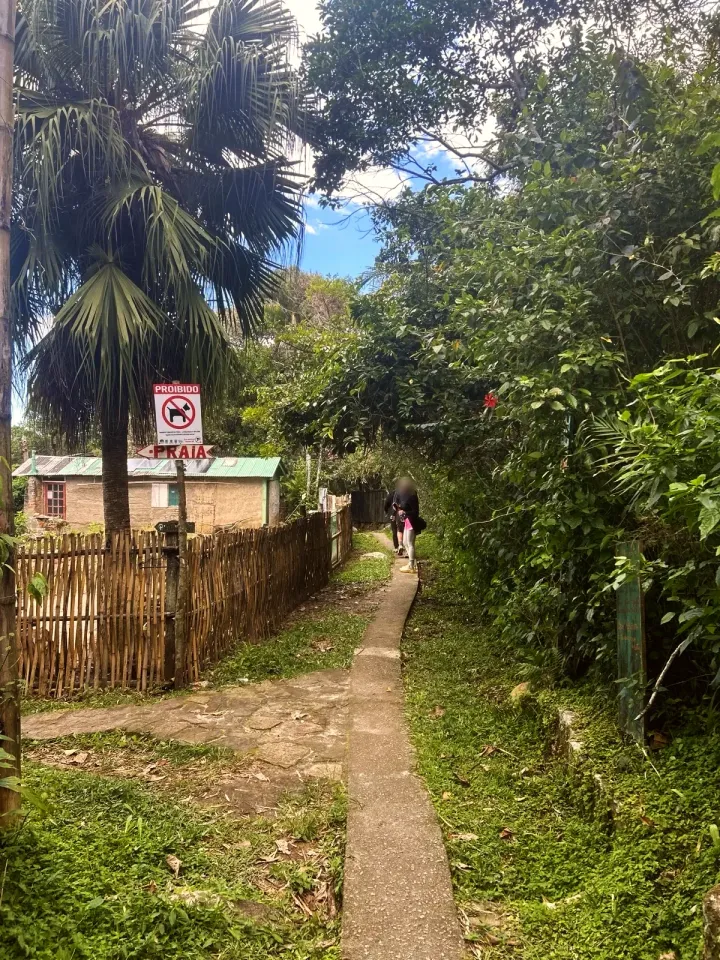
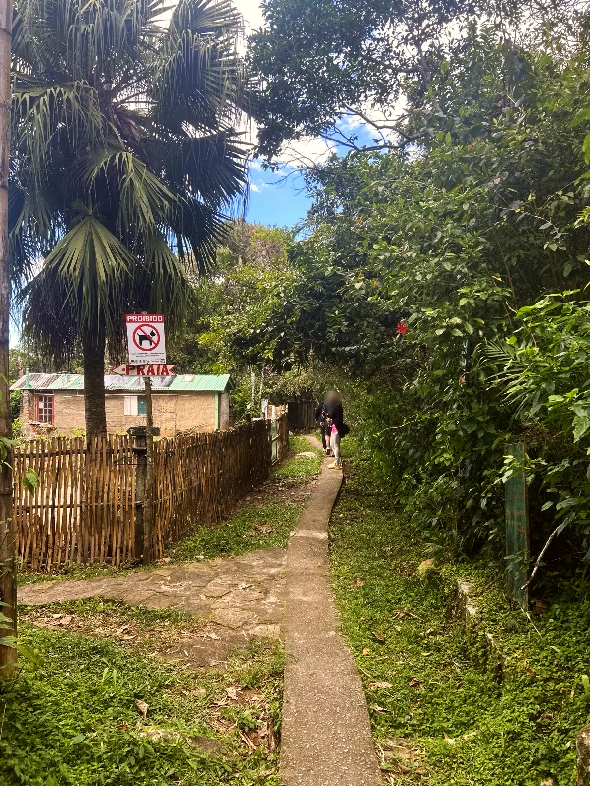
Path with a bamboo fence and a sign in the Saquinho village, near the beach.
Start and finish at the same access: Praia da Solidão, next to Rio das Pacas. Follow the public concrete path to Saquinho and keep out of private gardens.
Carry all your water and food, shoes with grip, sun and rain protection, a charged phone with the route downloaded and a head torch. The river water is not confirmed as safe to drink.
Narrow concrete paths and steps are slippery when wet. Keep children beside an adult at exposed edges and judge the sea separately from the walk to the beach.
Out and back · 1.7 mi · 1:30 h
Return by the same trail entrance. Times are estimates; download the map before you set off.
Updated from the same shared observations as the map and app. Distances follow the main walk, including the return.
Internet reported at these distances from the start: 0 ft–0.2 mi; 0.2 mi–0.5 mi; 0.5 mi–0.6 mi; 1.2 mi–1.7 mi.
Reports are observations, not a guarantee. Coverage varies by carrier and conditions. Download the map before leaving.
End of the path beside the bridge over the Rio das Pacas; the concrete path continues to Saquinho.
End of the path beside the bridge over the Rio das Pacas; the concrete path continues to Saquinho.
Parking and taxi information reflects the recorded observation. Check current access and prices before leaving.
No parking or taxi locations verified yet.
Yes. The map includes the short descent from the main path to Praia do Saquinho, and the return is along the same access to Solidão.
Allow about 1 hour 30 minutes of walking there and back, over roughly 1.7 mi, plus time on the beach. It is a generous estimate for an unhurried pace: local guides give 20 to 40 minutes for the way out.
It starts in the same place but turns back well before Naufragados. Choose the full traverse only if you want a longer, remote walk and have already arranged transport back from the other side.
Cross the bridge over Rio das Pacas at Praia da Solidão and take the Trilha Cachoeira da Solidão on the right, before the concrete path to Saquinho. Local guides say about 15 minutes; expect slippery rock and roots.
Do not count on food or water at the beach; bring your own. Nobody has confirmed that the river water is safe to drink.
Collect it in person in the Boramundo app at Mirante do Saquinho.
Mark a route after completing one full published walking option. Photos and GPS are not required. Repeats count once.
Sources and references: guiafloripa.com.br, openstreetmap.org, visitefloripa.com.br, nsctotal.com.br, trilhasemsc.com.br
In this first version, ratings are user opinions. Physical passage has not been verified.
See open group outings on this route or propose your own.