
Ponte pênsil da Barra da Lagoa
Bridge / footbridgeObservedPoint
Blue footbridge from 2006 over the channel; start of the walk.
-27.5753, -48.4232 · Observation date:
The Barra da Lagoa lighthouse trail is a 3.2 km loop from the suspension bridge to the natural pools, up through the forest to the lighthouse and back down to…
Illustration based on our photos of this route
Short and flat. For everyone.
On this route

The Barra da Lagoa lighthouse trail is a 2.0 mi loop from the suspension bridge to the natural pools, up through the forest to the lighthouse and back down to the village.
Nobody has planned this trail for the next 7 days yet.
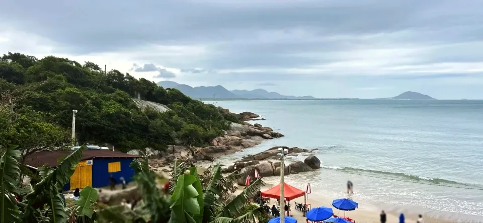
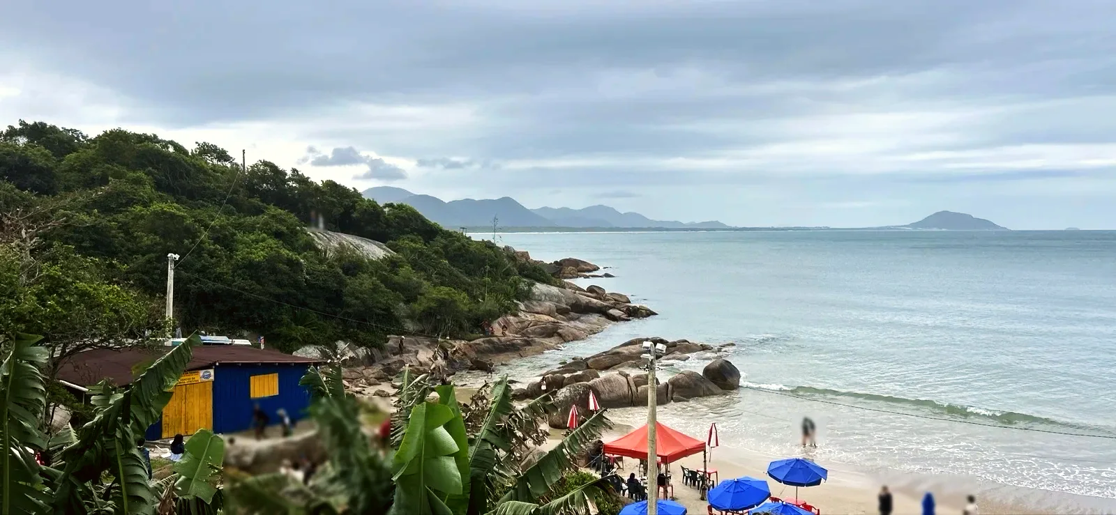
Cross the Ponte pênsil da Barra da Lagoa, next to the Igreja São Pedro and Praia da Barra da Lagoa. Follow the lanes between the houses to the Prainha da Barra da Lagoa, about 330 ft of sand between rocks, with kiosks. From there the path enters a bamboo tunnel and climbs stone steps.
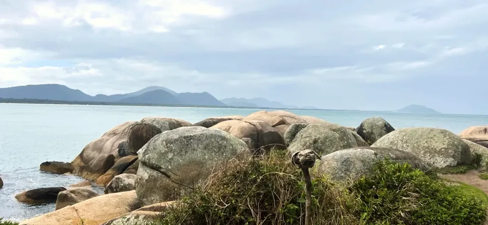
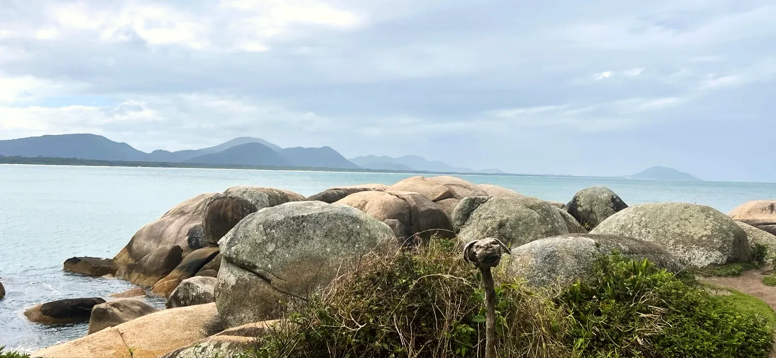
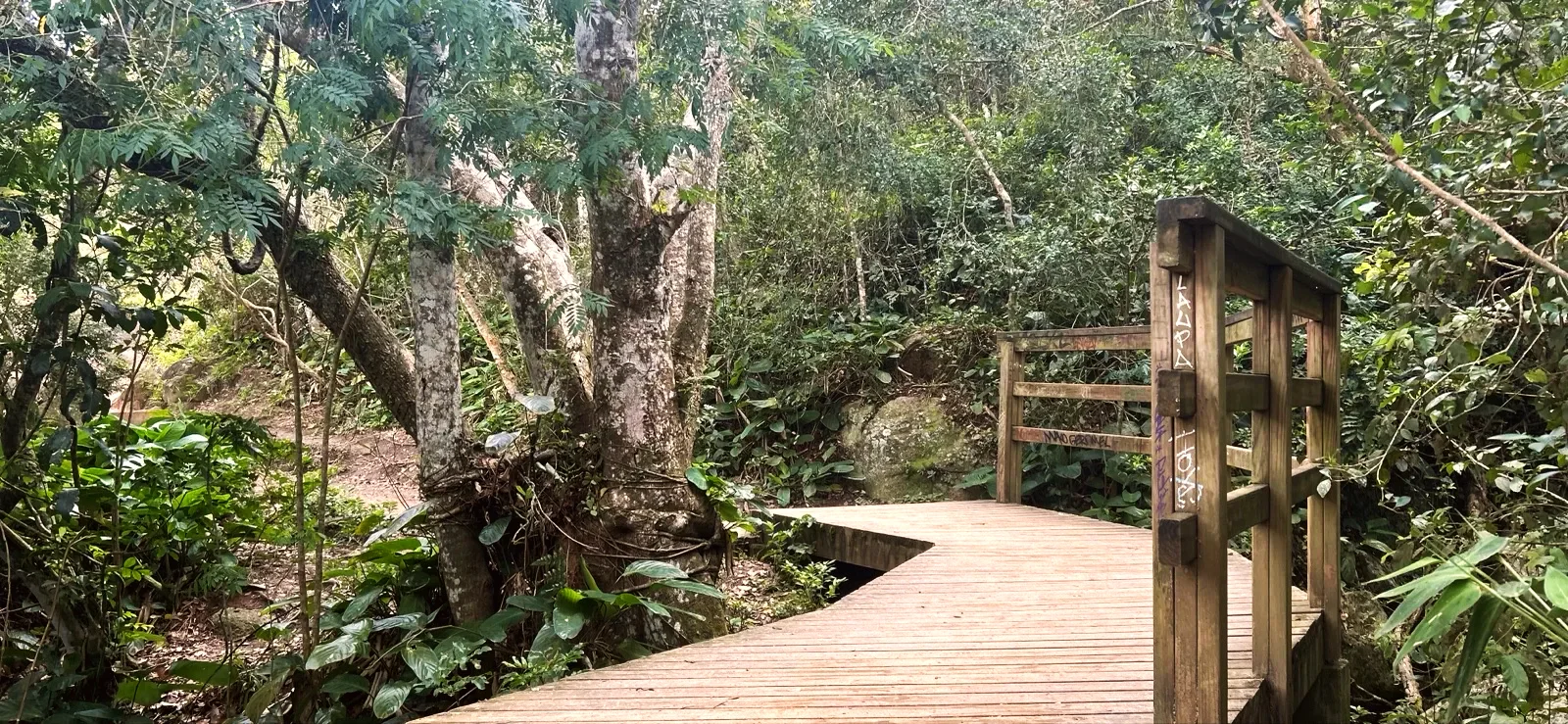
A wooden footbridge crosses a stream in a shady valley. Just after it the forest opens onto the Mirante das Piscinas Naturais, a granite slab with the sign “ÁREA SEM GUARDA-VIDAS” (no lifeguards), and a short drop leads to the rocks of the Piscinas Naturais da Barra da Lagoa.
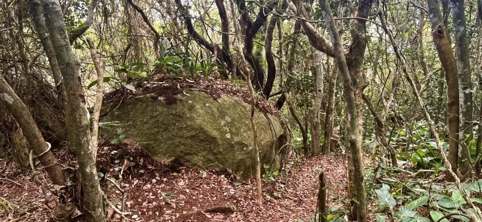
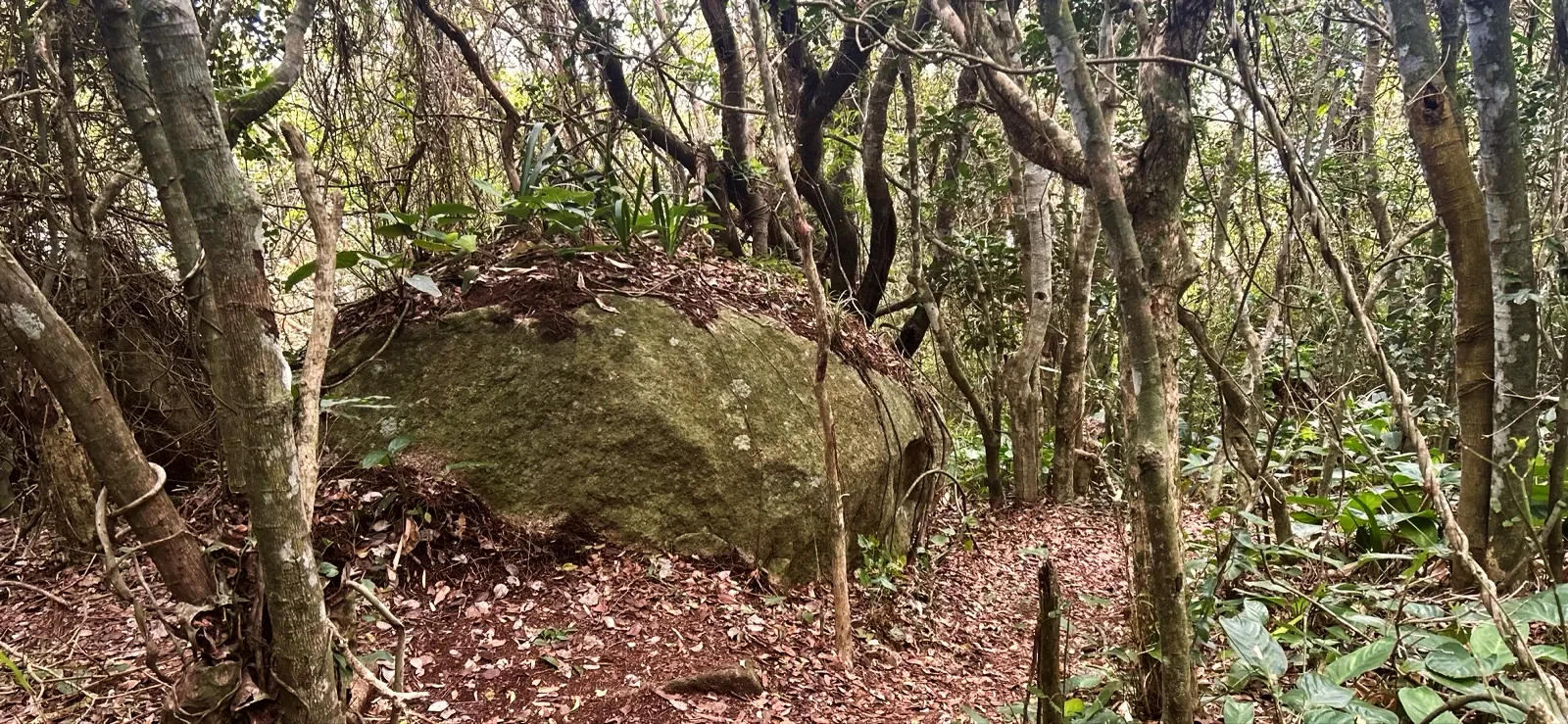
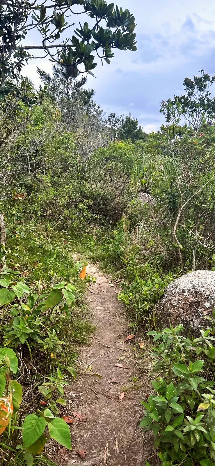
This is the longest stretch and the only real climb: a narrow path of earth and leaves, with roots, fallen trunks and moss-covered boulders, almost all of it in the shade.
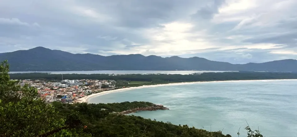
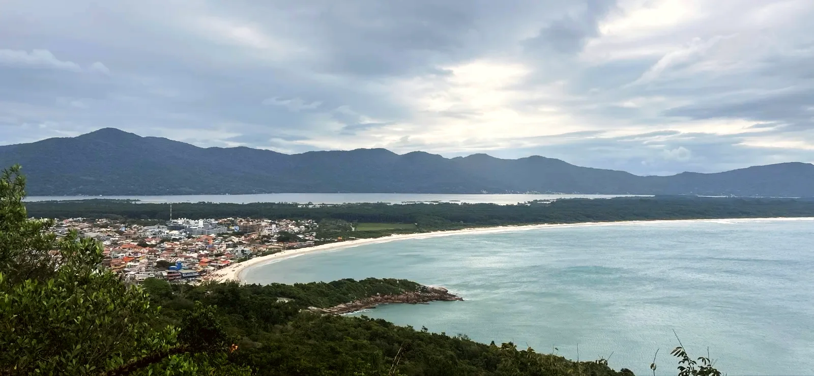
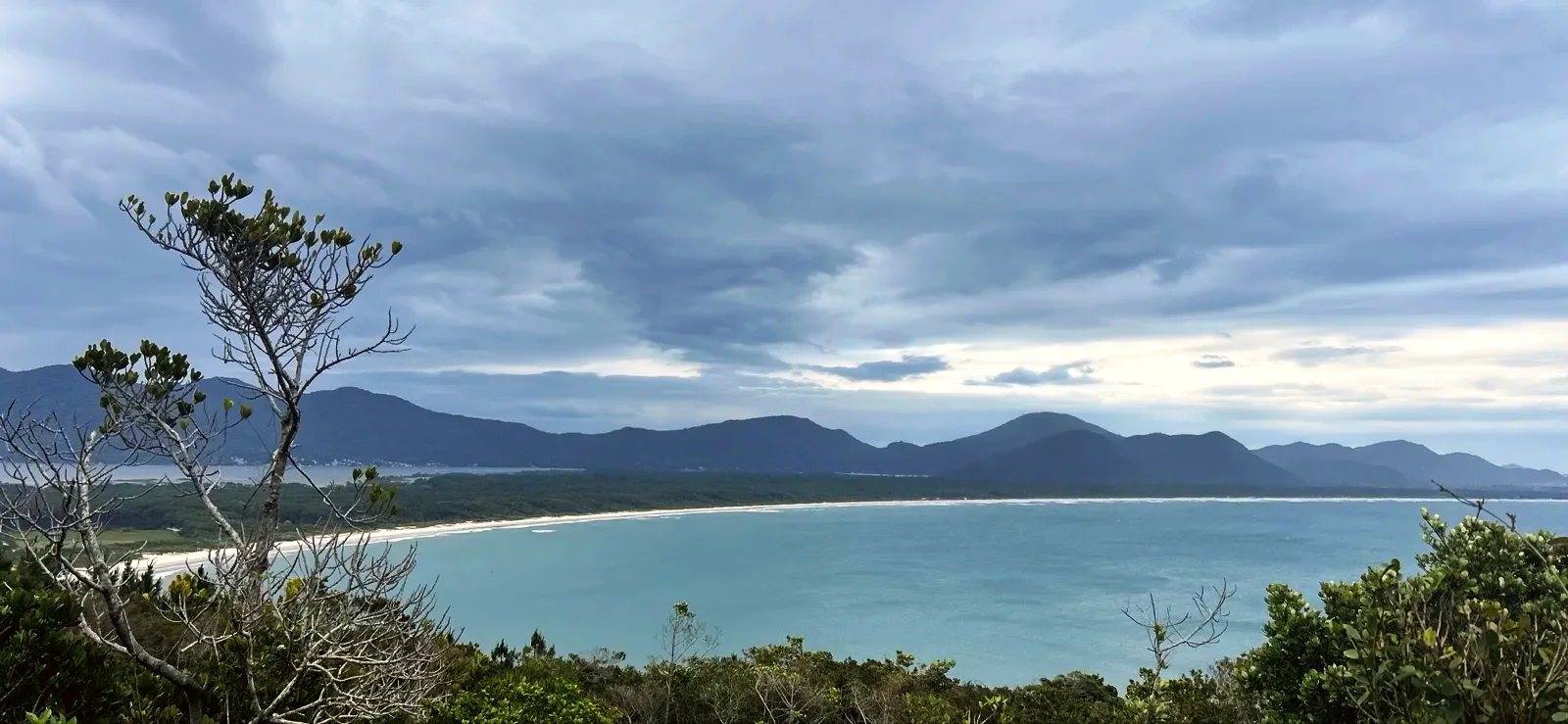
At the top the forest opens all at once. The Mirante da Barra da Lagoa sits a little to the side and its entrance is easy to miss; from there you see the village, the channel and Praia de Moçambique stretching north.
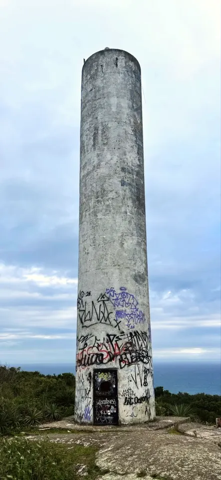
The Farol da Barra is a cylindrical concrete tower, covered in graffiti at the base, with a small metal door, at the top of the hill. Next to it the Floram sign is clear: “NÃO SUBA NA TORRE DO FAROL — A ESTRUTURA APRESENTA RISCOS” (do not climb the lighthouse tower — the structure is unsafe).
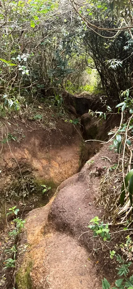
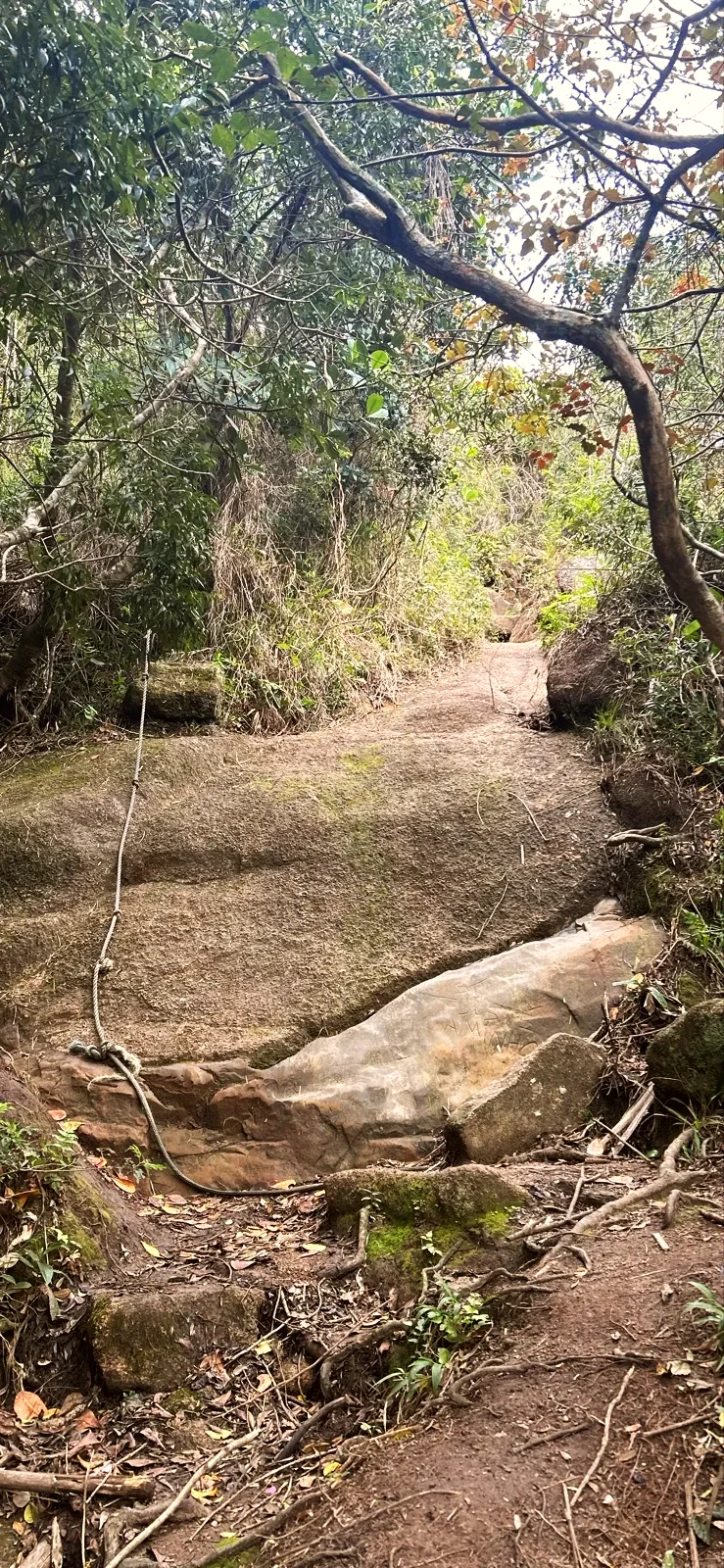
After the Mirante da descida, with the second view of Praia de Moçambique, the trail turns into a deep gully, like a dry riverbed, and goes down granite slabs, one with a rope handrail. At the bottom come the bamboo grove, a small painted “FAROL” sign and the way back to the Prainha and the bridge.
Children of about 6 who already walk well manage the distance with an adult. The climb after the pools is steady, about 3 120 ft long; take your break at the Mirante da Barra da Lagoa. The descent needs the most care: hold their hands in the gully and on the slabs, and keep everyone away from the edge of the lookouts and the wet rocks. Pushchairs cannot get beyond the lanes.
If the group gets tired at the pools, you can go back the same way to the bridge: about 1.2 mi there and back, without the climb.
The start is the Ponte pênsil da Barra da Lagoa, at the end of Rua Amaro Coelho. OpenStreetMap marks the Estação Barra da Lagoa bus terminus about 100 ft from the bridge; we did not check routes, timetables or parking. By car or ride-hailing app, get dropped off in the village, because the bridge is for pedestrians only.
Go in daylight and, if you can, after a few dry days: the gully turns to mud and the slabs get slippery. All the photos on this page are from our walk in October. Wear trainers with good grip and bring water and sun cream. We saw no tap or toilet on the trail; sort that out in the village. Download the route map beforehand, because the forks in the forest are confusing.
There are no lifeguards at the pools, and the sea changes fast with a north-easterly wind. In an emergency, call 193 (fire service) or 192 (SAMU ambulance).
The Brazilian Navy lists the tower as the Ponta da Galheta lighthouse, number 3883 in its List of Lights. In the 2005 correction of its Roteiro (sailing directions), it was a white square metal lattice tower, 35 ft tall, with a flashing white light and a range of 16 nautical miles. In July 2013 a Notice to Mariners already describes a white cylindrical reinforced-concrete tower, also 35 ft: that is the tower in our photos. None of the sources gives the exact date of the change.
Russ Rowlett's lighthouse directory gives a white flash every 10 seconds, an unknown construction date and a tower closed to visitors. Do not confuse the Barra da Lagoa lighthouse with the smaller lights on the breakwater at the mouth of the channel.
The lighthouse hill lies in the Monumento Natural Municipal da Galheta, a Floram protected area named on the sign itself (Municipal Law 10.100/2016). Stay on the trail and take your rubbish home.
Two more walks start from the same bridge: the Natural Pools trail, which is the first kilometre of this loop, and the Boa Vista trail, which runs along the high ground to Praia da Galheta. Of the trails in Barra da Lagoa, this is the only one that passes the lighthouse.
1.8 mi · 1:30 h
1.8 mi · 1:30 h
Zoom in to see photo thumbnails. Nearby photos form groups; larger groups reveal more as you zoom.
Map data from OpenStreetMap. It loads as you scroll to it.
Swipe through the walk from start to finish; the open map follows each photo.
Mobile signal was available along the whole route when we walked it.
Access paths are gray, warnings red. Camera markers show where each photo was taken and which way it looks.
The map or its tiles are unavailable. Route coordinates and information remain available as text.
Places shown: 11
Bridge / footbridgeObservedPoint
Blue footbridge from 2006 over the channel; start of the walk.
-27.5753, -48.4232 · Observation date:
Landmark treePotentialPoint
The fishermen's church next to the bridge; the São Pedro procession sets off from here.
-27.5754, -48.4233 · Observation date: · Source
BeachPotentialPoint
The village beach, next to the start of the walk.
-27.5739, -48.4233 · Observation date: · Source
BeachObservedApproximate radius: 10 m
About 330 ft of sand between rocks, with kiosks.
-27.5740, -48.4210 · Observation date:
Bridge / footbridgeObservedApproximate radius: 10 m
Wooden footbridge over a stream in a shady valley.
-27.5731, -48.4169 · Observation date:
ViewpointObservedApproximate radius: 10 m
Granite slab with a sea view; sign for an area without lifeguards.
-27.5725, -48.4160 · Observation date:
ViewpointObservedApproximate radius: 10 m
Granite shore open to the sea; end of the measured line. No lifeguards.
-27.5719, -48.4156 · Observation date:
ViewpointObservedApproximate radius: 10 m
Slab over the open sea at the end of a side path of about 390 ft; back the same way.
-27.5730, -48.4123 · Observation date: · Source
ViewpointObservedApproximate radius: 10 m
View of the village, the channel and Praia de Moçambique; the entrance is a little to the side of the trail.
-27.5751, -48.4160 · Observation date: · Source
LighthouseObservedApproximate radius: 10 m
Cylindrical concrete tower (the Navy's Ponta da Galheta lighthouse). Floram sign: do not climb the tower.
-27.5758, -48.4166 · Observation date: · Source
ViewpointObservedApproximate radius: 10 m
Second open view on the way down, towards Praia de Moçambique and the hills.
-27.5758, -48.4178 · Observation date:
Opens a 3D view with terrain from AWS Open Data, map tiles from OpenFreeMap and satellite imagery from MapTiler; these services receive your IP address.
The map or its tiles are unavailable. Route coordinates and information remain available as text.
Elevation estimated from open terrain data (Mapzen Terrain Tiles on AWS Open Data: SRTM, Copernicus and others).
Photos along the route. Open a photo to see it at full size.
From the Mirante da Barra da Lagoa: the village, the channel and Praia de Moçambique under a cloudy sky.
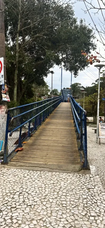
The blue suspension bridge over the Barra da Lagoa channel, the start of the loop.
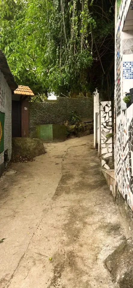
A narrow lane between mosaic walls, under hanging plants.
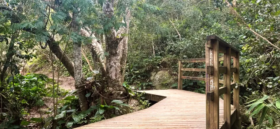
The wooden footbridge crosses a forested valley beside a large tree.
Granite boulders of the natural pools by the sea, with hills across the bay.
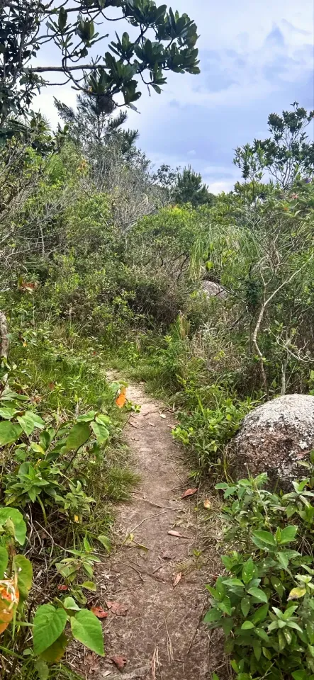
A narrow earth path climbs between shrubs and a boulder.
A moss-covered boulder among thin trees beside the forest trail.
The cylindrical concrete tower of the Farol da Barra, covered in graffiti at the base, with a small metal door.
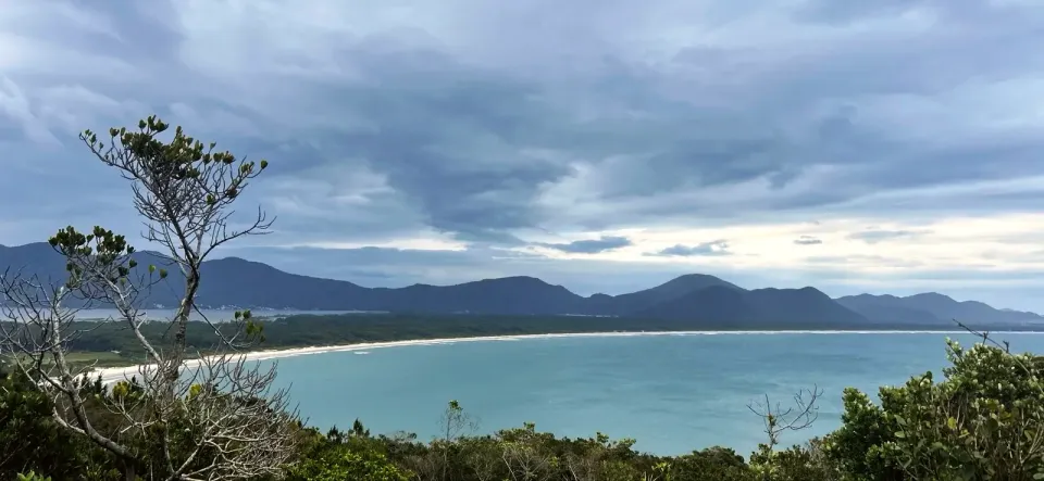
From the Mirante da descida, Praia de Moçambique and the hills behind.
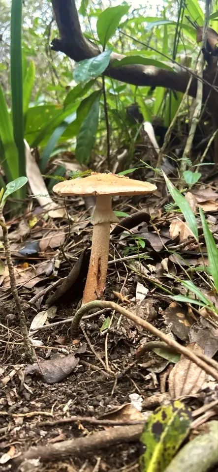
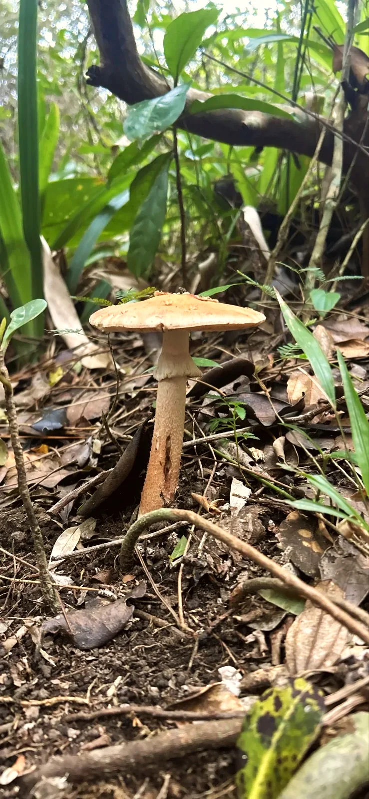
An orange-brown mushroom among dry leaves and roots beside the trail.
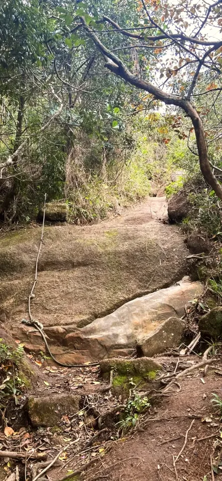
Sloping granite slabs, with a rope handrail, form the path down.
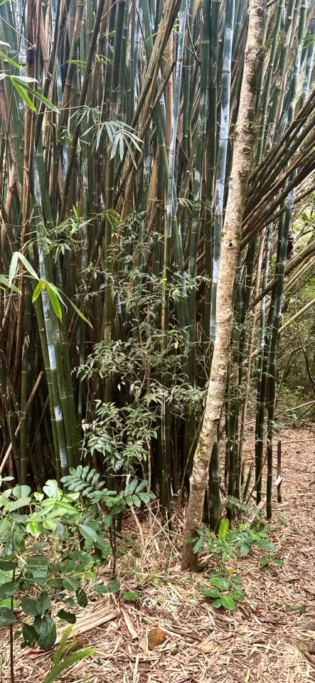
Tall bamboo beside the earth trail at the end of the descent.
The Prainha da Barra da Lagoa from above: kiosks, parasols and the rocky shore facing the sea.
A deep erosion gully, with roots and rock walls, on the way down from the lighthouse.
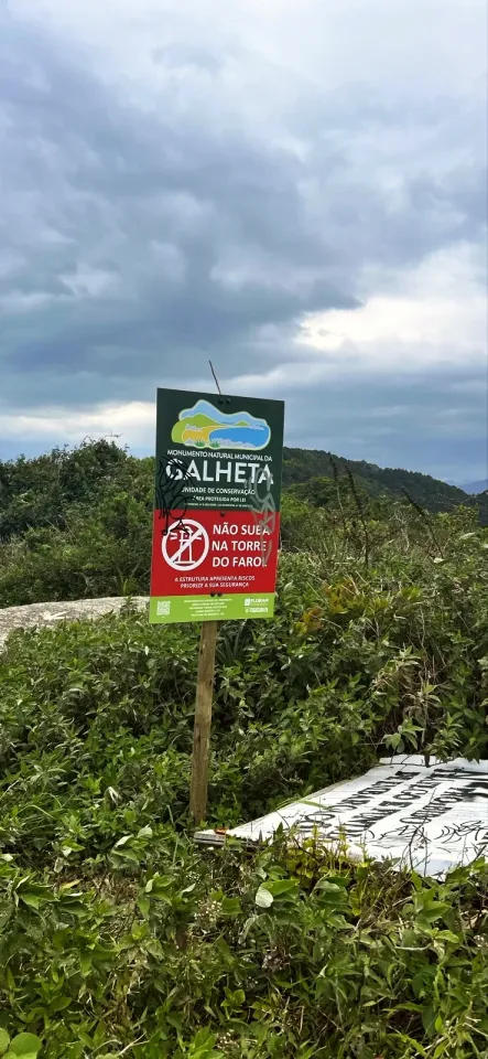
The Floram sign next to the lighthouse: “NÃO SUBA NA TORRE DO FAROL” (do not climb the lighthouse tower).
Start and finish at the suspension bridge over the channel, at the end of Rua Amaro Coelho. Buses stop near the bridge (check the route first); cars and ride-hailing apps drop you in the village, as the bridge is for pedestrians only. Parking not checked.
Trainers with grippy soles, water, sun cream and a cap for the shadeless top, the route map downloaded for the forks in the forest. No pushchairs: they cannot get past the lanes. A bag to take your rubbish home.
Deep erosion gully and smooth granite slabs on the descent, slippery when wet. Unclear forks in the forest. Pools without lifeguards and open sea. Climbing the lighthouse tower is forbidden.
Loop · 1.8 mi · 1:30 h
Loop from the suspension bridge: the coast and natural pools, the climb to the Farol da Barra and the descent through the forest to the bridge.
Loop · 2 mi · 1:40 h
The same loop with the side path of about 390 ft to the ocean lookout and back, about 0.1 mi more.
Updated from the same shared observations as the map and app. Distances follow the main walk, including the return.
Reports are observations, not a guarantee. Coverage varies by carrier and conditions. Download the map before leaving.
Start by the blue bridge over the channel and cross on foot to the lanes.
Start by the blue bridge over the channel and cross on foot to the lanes.
Parking and taxi information reflects the recorded observation. Check current access and prices before leaving.
No parking or taxi locations verified yet.
The measured loop is 2.0 mi, from the suspension bridge back to the bridge. With the side path to the ocean lookout, about 0.1 mi more.
About 1.5 hours with short stops; our walking time was about 50 minutes.
No. The Floram sign next to the tower says “NÃO SUBA NA TORRE DO FAROL” (do not climb the lighthouse tower) and warns that the structure is unsafe.
It is easy on the Boramundo scale, but it has a steady climb in the forest and a descent down a gully and slabs that get slippery in the rain.
It starts at the suspension bridge over the Barra da Lagoa channel, on the east side of Santa Catarina Island, in Florianópolis.
Yes, with children of about 6 who walk well and an adult beside them, especially on the way down.
Collect it in person in the Boramundo app at Farol da Barra.
Mark a route after completing one full published walking option. Photos and GPS are not required. Repeats count once.
Sources and references: marinha.mil.br, ibiblio.org, redeplanejamento.pmf.sc.gov.br, pt.wikipedia.org
In this first version, ratings are user opinions. Physical passage has not been verified.
Passage not verified
Recommends
See open group outings on this route or propose your own.
