
Canto dos Araçás bus terminus
Bus stopObservedApproximate radius: 10 m
Bus terminus and start of the recorded walk.
-27.5858, -48.4613 · Observation date: · Source
The Costa da Lagoa trail runs 5.5 km from Canto dos Araçás to the Costa da Lagoa waterfall along the shore of the lagoon. On the way: an old flour mill, a…
Illustration based on our photos of this route
Longer or with climbs.
On this route

The Costa da Lagoa trail runs 3.4 mi from Canto dos Araçás to the Costa da Lagoa waterfall along the shore of the lagoon. On the way: an old flour mill, a colonial house and a boat ride back.
Last checked:
Aim to finish by
All these departures are public boat services. Confirm boarding and fare with Cooperbarco: these are departure times, not passage times at intermediate piers.
On 8/11/2026 boats left pier 23 for stop 3 and stop 1, taking 40–50 minutes, with room for about 50 people.
Timetable: Cooperbarco boards, consulted 2 November 2026. Pier, fare, journey time and capacity: walker report, 8 November 2026.
Nobody has planned this trail for the next 7 days yet.
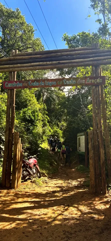
We set off from Ponto Final Canto dos Araçás, the bus terminus at the end of the line and followed a dirt road to the log gateway named Caminho da Costa da Lagoa ao Canto dos Araçás. Beside it stands the FLORAM board with the map. It gives the whole path a "total length: 24 610 ft" and an "estimated time: 2h30m", counting to the northern end of the village, further than the waterfall.
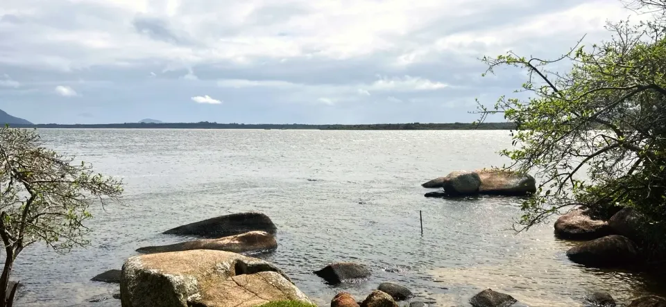
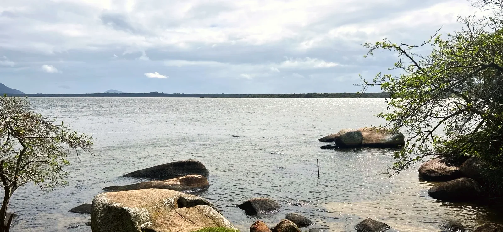
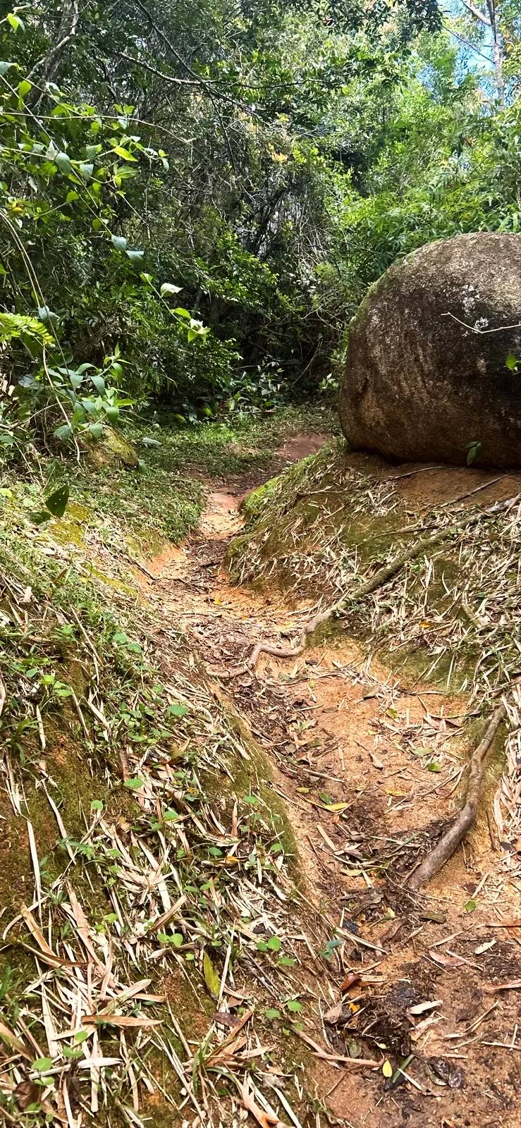
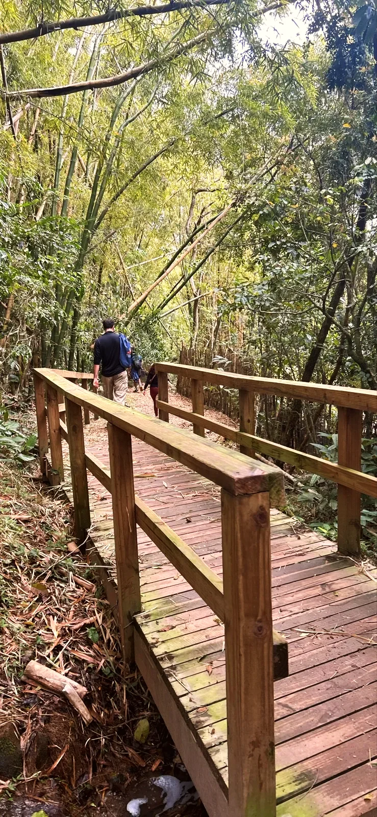
Just past the entrance, the trail rounds Ponta Grossa and opens the first wide view of Lagoa da Conceição, with granite boulders in the water. Then it enters the forest: stone steps, roots, moss-covered boulders, a bamboo grove with a wooden boardwalk, and bridges over streams.
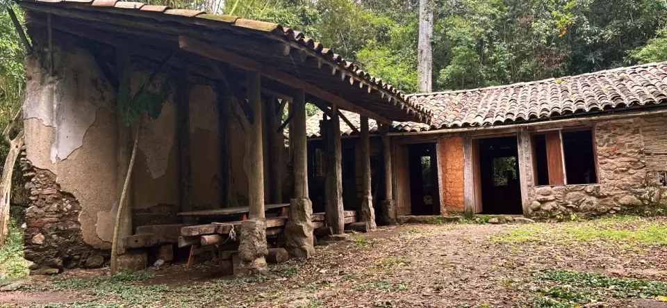
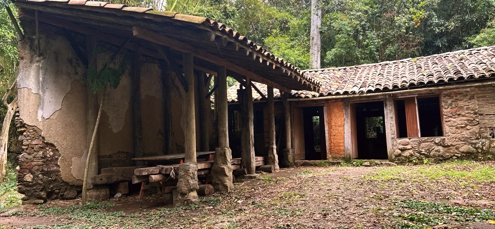
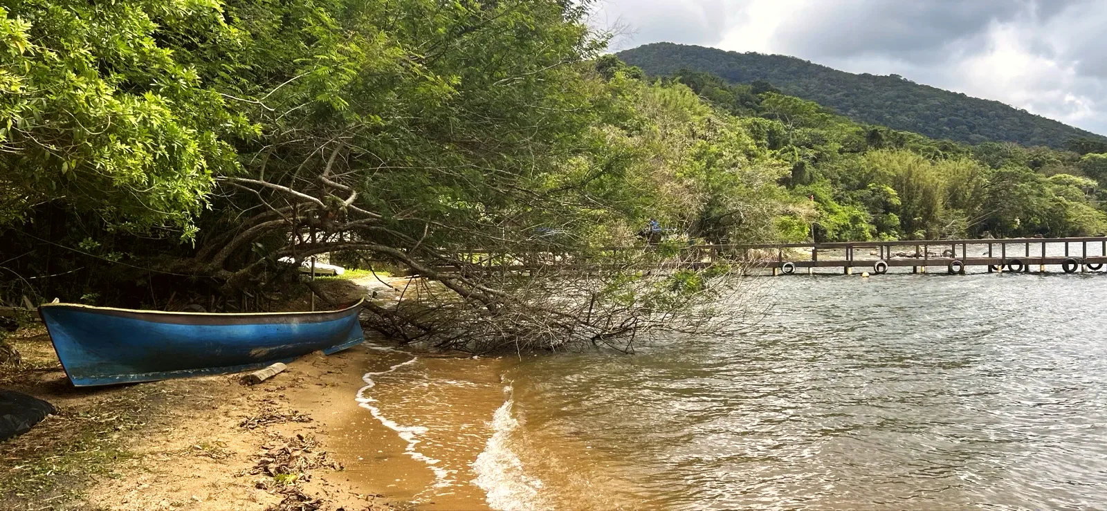
The path turns into a narrow paved walkway between the first houses of Vila Verde. Among the trees stands the Engenho de Farinha da Costa da Lagoa, a flour mill of stone and clay with a tiled roof. Further on, at the Vila Verde lakeshore, there is grass, boats pulled up on the sand and a pier: we stopped there for almost 20 minutes.
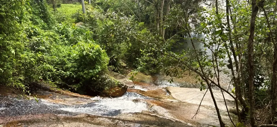
At around 2.0 mi, a stream slides over stone slabs in a small cascade beside the trail. It struck us as a good shady spot for a snack. Just after it, on the bridge, there was a hairy caterpillar on the handrail: do not touch it. At around 2.5 mi you reach the boards of the Casarão da Dona Lóquinha, a colonial townhouse (sobrado); we only stopped at the boards.
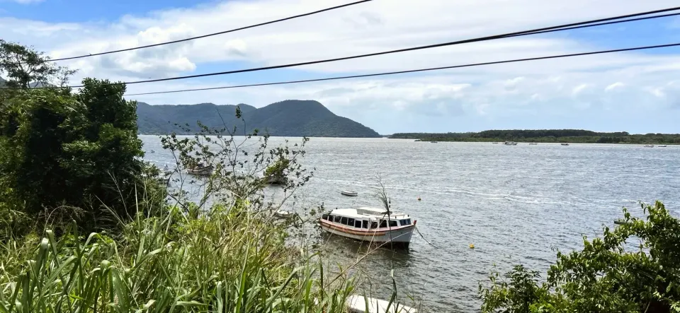
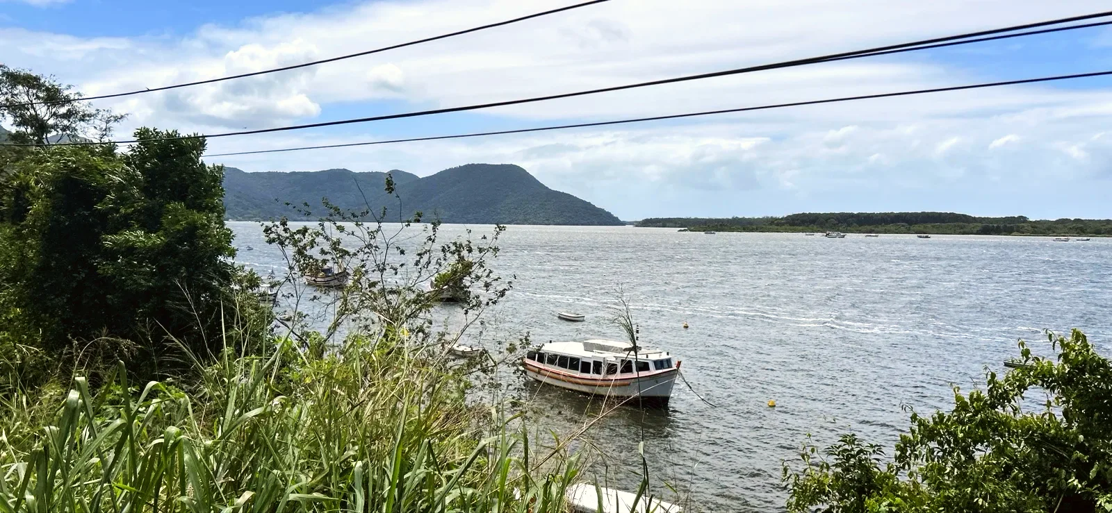
The last part alternates forest, paved walkway and concrete steps between houses, restaurants and piers. Past Praia Seca, the lagoon comes into view again, with a tour boat moored. At around 3.3 mi there is a small grocery shop. At the waterfall sign, a gateway with the arrow "Cachoeira / Cascada / Waterfall" shows where to leave the main path.
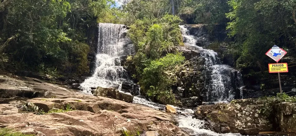
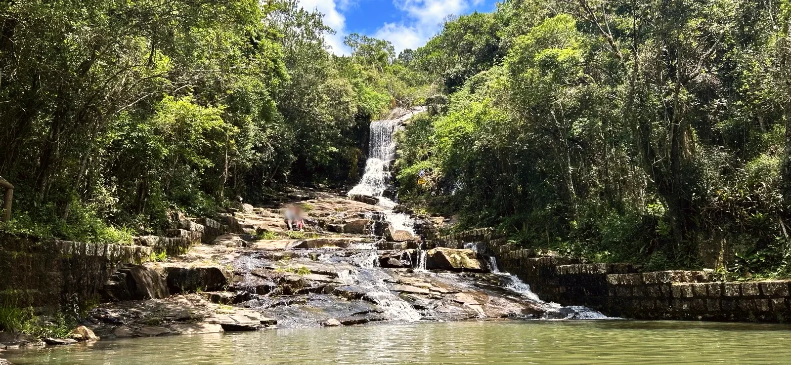
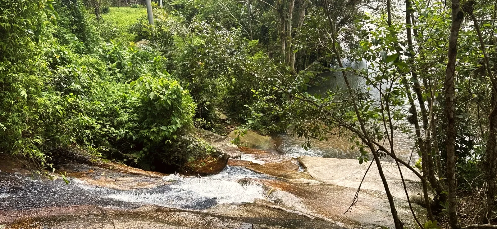
The side path climbs about 820 ft of stone and log steps through bamboo to the Cachoeira da Costa da Lagoa. The water drops in several falls over dark rock between stone walls into a shallow pool. Beside the falls a sign reads: "DANGER - SLIPPERY ROCK - SHALLOW WATER. EMERGENCY CALL 193".
The start is at the end of the Canto dos Araçás bus line, in Lagoa da Conceição. By car, there is a paid car park near boat stop 3, in Canto dos Araçás: R$ 35 for the day on 8 November 2026. From there, a dirt road leads to the trail gateway in about 2 130 ft.
The trail is one way, and the simplest way back is the Cooperbarco boat. On the day we walked, boats left pier 23 in Costa da Lagoa for stop 3 (Canto dos Araçás) and stop 1 (the centre of Lagoa). The ride took 40 to 50 minutes. The boat takes about 50 people, and you pay the fare when you get off, at the ticket desk: R$ 15 per person (residents pay about R$ 4).
We checked the Cooperbarco timetable boards on 2 November 2026. They list an evening departure from Costa da Lagoa at 18:30, and the last boat at 21:30 on weekdays or 21:00 at weekends and on public holidays. Check the timetable before you set off. If you miss the last boat, you walk back the same way in the dark: bring a torch.
Go in the morning and allow about 4 hours: that is what the walk out with stops, the waterfall and 40 to 50 minutes on the boat take. We started at 09:16 and reached the waterfall around 11:40, with time left for lunch in the village before the boat. Much of the path is shaded, but the rocks get slippery in rain.
Bring water: the streams are not guaranteed safe to drink, and we only saw a small shop and restaurants at the end. Wear trainers with good grip. Dogs are not allowed in the Meiembipe refuge, according to the FLORAM board.
We rate the trail for children from 6 years old, with an adult. The high steps, roots and narrow bridges tire small legs, and the walk out takes more than an hour and a half even without stopping. A pushchair will not get through. At the waterfall, keep children away from the wet edge.
According to the FLORAM board, the path and the boats are the main way residents and visitors get to and from Costa da Lagoa. The board at the entrance calls the path "a centuries-old path that passes historic sites such as ruins, flour mills and colonial houses". It was recognised by IPUF in 1985 and listed as heritage in 1986, by Municipal Decree No. 247. Since 2021 it has been part of the Meiembipe refuge (Decree No. 23.324/2021).
According to the Recupera Engenho project board, "the Engenho de Farinha da Costa da Lagoa is a heritage site listed in 1986 and the only one in the region still in working order". It dates from the nineteenth century, was used to make cassava flour and hosted the Festa da Farinha (flour festival) from 1991 to 2016. The project, from 2024, aims to restore the roof and the two "madre" beams that hold up the machinery.
The house was built by enslaved people around 1780, according to the boards on the trail and the local press. The timeline of the "Viva o Sobrado!" project calls it a "unique example on Santa Catarina Island". Emilia Felix Ramos, known as Dona Lóquinha (1895–1991), was its last resident. The roof was stabilised in 2023. According to the local press, the house only opens during the project's events.
3.5 mi · 1:50 h
3.5 mi · 1:50 h
Zoom in to see photo thumbnails. Nearby photos form groups; larger groups reveal more as you zoom.
Map data from OpenStreetMap. It loads as you scroll to it.
Swipe through the walk from start to finish; the open map follows each photo.
Phone checks and walkers’ reports: Internet 3.5 mi latest observation
Coverage depends on the carrier and the weather. Grey dots: no observations yet.
Access paths are gray, warnings red. Camera markers show where each photo was taken and which way it looks.
The map or its tiles are unavailable. Route coordinates and information remain available as text.
Places shown: 13
Bus stopObservedApproximate radius: 10 m
Bus terminus and start of the recorded walk.
-27.5858, -48.4613 · Observation date: · Source
Rest stopObservedApproximate radius: 10 m
Log gateway and FLORAM board with the map of the path (4.7 mi, 2 hours 30 minutes for the whole path).
-27.5809, -48.4575 · Observation date: · Source
ViewpointObservedApproximate radius: 10 m
First wide view of Lagoa da Conceição, with granite boulders in the water.
-27.5807, -48.4571 · Observation date:
Rest stopObservedApproximate radius: 10 m
First houses: the trail becomes a paved walkway.
-27.5663, -48.4628 · Observation date:
Rest stopObservedApproximate radius: 10 m
Nineteenth-century flour mill, listed as heritage in 1986 (Recupera Engenho board).
-27.5658, -48.4634 · Observation date:
Rest stopObservedApproximate radius: 10 m
Grass at the edge of the lagoon, boats and a pier; a stop of almost 20 minutes.
-27.5648, -48.4644 · Observation date:
WaterfallObservedApproximate radius: 10 m
Small cascade over stone slabs beside the trail; a good spot for a snack.
-27.5625, -48.4650 · Observation date:
HazardObservedApproximate radius: 10 m
Hairy caterpillar on the bridge handrail on 8/11/2026. Do not touch it.
-27.5625, -48.4647 · Observation date:
Rest stopObservedApproximate radius: 10 m
Colonial townhouse (sobrado) from about 1780; on the trail, the timeline boards of the Viva o Sobrado! project.
-27.5562, -48.4642 · Observation date:
Rest stopObservedApproximate radius: 10 m
Part of the village with a paved walkway, steps and piers.
-27.5487, -48.4614 · Observation date:
Rest stopPotentialApproximate radius: 10 m
Pier near the waterfall sign; check the number and the timetable on site.
-27.5452, -48.4609 · Observation date: · OSM ferry terminal; walker report 8 November 2026 (boats from pier 23)
Rest stopObservedApproximate radius: 10 m
Gateway with the arrow Cachoeira / Cascada / Waterfall: start of the side path.
-27.5437, -48.4615 · Observation date:
WaterfallObservedApproximate radius: 10 m
Falls over dark rock and a shallow pool. Sign: slippery rock, shallow water, emergency 193.
-27.5436, -48.4638 · Observation date: · Source
Opens a 3D view with terrain from AWS Open Data, map tiles from OpenFreeMap and satellite imagery from MapTiler; these services receive your IP address.
The map or its tiles are unavailable. Route coordinates and information remain available as text.
Elevation estimated from open terrain data (Mapzen Terrain Tiles on AWS Open Data: SRTM, Copernicus and others).
Photos along the route. Open a photo to see it at full size.
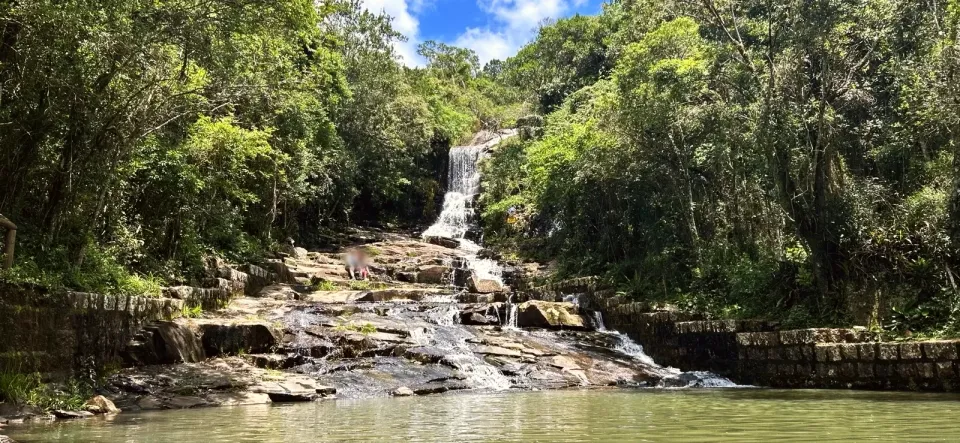
Costa da Lagoa waterfall: falls over dark rock dropping into a green pool
Lagoa da Conceição seen from Ponta Grossa, with granite boulders in the water
Engenho de Farinha da Costa da Lagoa: stone walls and a tiled roof in the forest
Boats moored on the lagoon in front of the village, with hills behind
Log gateway of the Caminho da Costa da Lagoa ao Canto dos Araçás, with the board beside it
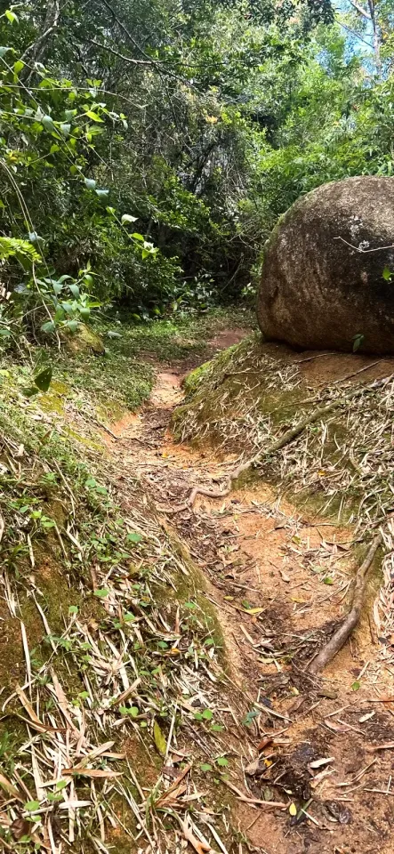
Narrow dirt trail skirting a granite boulder
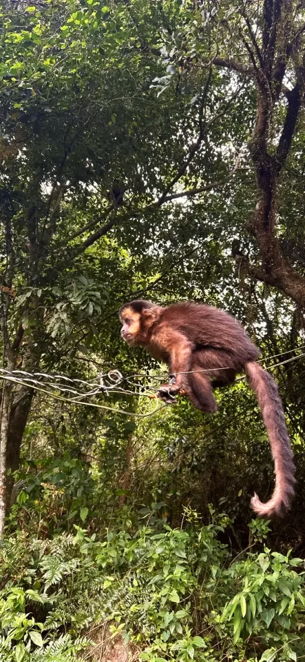
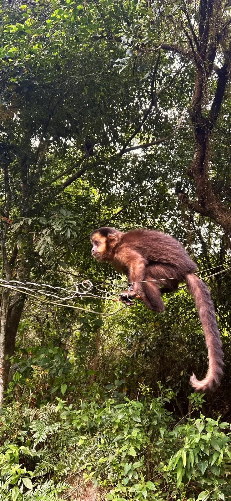
Capuchin monkey on a wire between the trees near the trail
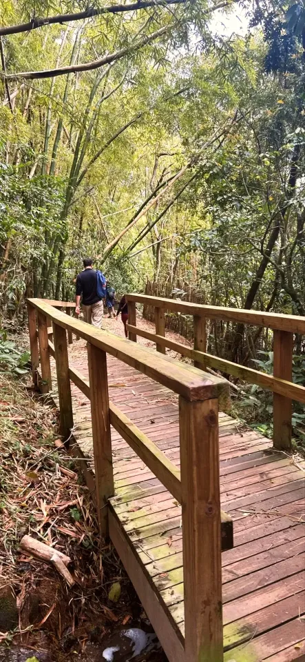
Wooden boardwalk with a handrail crossing the bamboo grove
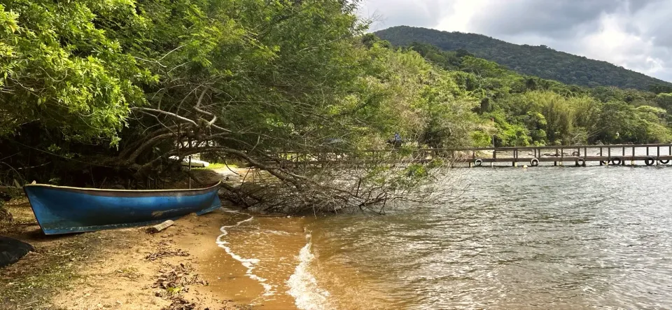
Blue canoe on the sand of the Vila Verde lakeshore, with a pier and a hill behind
Stream cascade: shallow water sliding over stone slabs
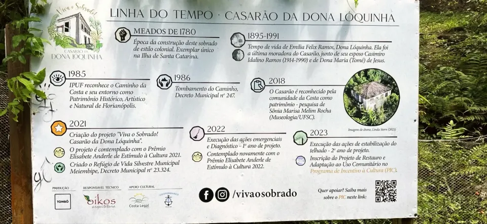
Board with the timeline of the Casarão da Dona Lóquinha
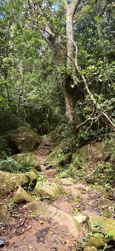
Trail of rocks and earth between mossy boulders in the forest
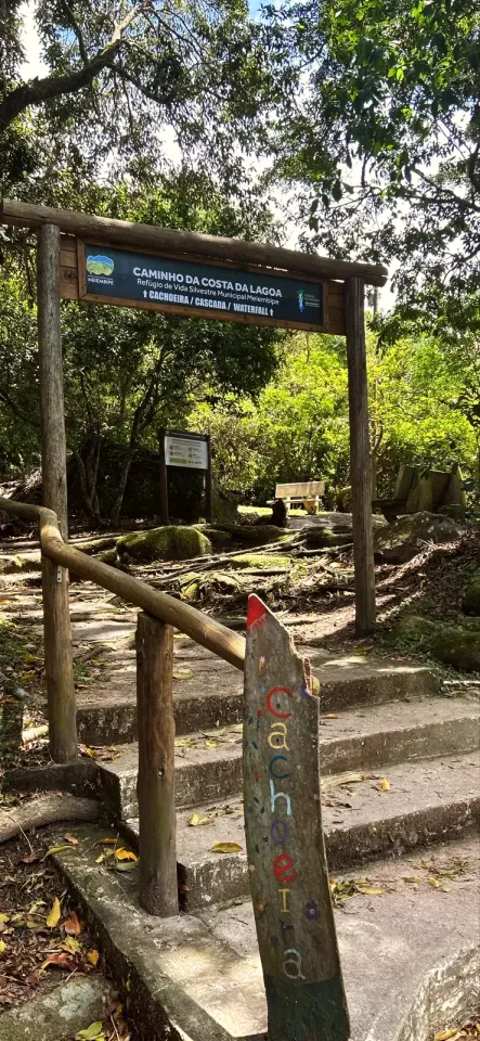
Waterfall sign: gateway with arrows for Cachoeira, Cascada and Waterfall
Two drops of the waterfall and the yellow danger sign at the edge
Bus to the Canto dos Araçás terminus, or car to the paid car park near boat stop 3 (R$ 35 for the day on 8/11/2026). A dirt road leads to the trail gateway.
Trainers with soles that grip wet rock, water for the whole walk out, a snack, insect repellent and sun cream. Cash for the boat (R$ 15 per person, paid at the ticket desk) and the map downloaded on your phone.
Rocks, roots and steps get slippery in rain. At the waterfall the pool is shallow: no jumping and no climbing the falls. We saw a hairy caterpillar on a handrail; do not touch it. The FLORAM boards warn about snakes and venomous animals. Emergency: 193 (fire brigade), 192 (SAMU ambulance).
3.5 mi · 1:50 h
One way, 3.4 mi. Return by boat from Costa da Lagoa (R$ 15, 40–50 min) or on foot the same way.
Updated from the same shared observations as the map and app. Distances follow the main walk, including the return.
Internet reported at these distances from the start: 0 ft–3.5 mi.
Reports are observations, not a guarantee. Coverage varies by carrier and conditions. Download the map before leaving.
End of the bus line; the dirt road reaches the trail gateway in about 2 130 ft.
Falls and a shallow pool on the side path above the village. Back by boat from the pier or on foot.
Parking and taxi information reflects the recorded observation. Check current access and prices before leaving.
End of the bus line and start of the walk.
Last checked:
Paid car park near boat stop 3, in Canto dos Araçás.
Approx. 35.00 BRL / day
Last checked: · Walker report, 8 November 2026
From Canto dos Araçás to the waterfall, we walked for about 1.5 hours over 3.4 mi. With stops, it took about 2.5 hours. The official board gives 2 hours 30 minutes for the whole 4.7 mi path.
At Canto dos Araçás, at the end of the bus line. The log gateway and the FLORAM board are about 2 130 ft further on, along a dirt road.
On foot, follow the path from Canto dos Araçás to the "Cachoeira / Cascada / Waterfall" sign and climb about 820 ft of steps. By boat, get off in Costa da Lagoa near that sign.
The sign by the falls warns that the pool is shallow and the rock is slippery. Do not jump in, and do not climb the falls.
On 8 November 2026 we paid R$ 15 per person, at the ticket desk when getting off. Residents pay about R$ 4.
We did not pay to walk the trail or to visit the waterfall. What you pay for is the car park in Canto dos Araçás and the boat back.
Collect it in person in the Boramundo app at Cachoeira da Costa da Lagoa.
Mark a route after completing one full published walking option. Photos and GPS are not required. Repeats count once.
Sources and references: openstreetmap.org, ndmais.com.br, tomboprodutora.com, visitefloripa.com.br, cooperbarco.wordpress.com, pt.wikipedia.org
In this first version, ratings are user opinions. Physical passage has not been verified.
See open group outings on this route or propose your own.