
Entrada do Caminho de Naufragados
Rest stopObservedPoint
Start and finish: trail post and official boards with a map, hours and advice.
-27.8163, -48.5610 · Observation date: · Source
A 7.5 km loop on the Caminho dos Naufragados trail from Caieira: the Naufragados lighthouse, down to Naufragados beach and back through the forest.
Illustration based on our photos of this route
Longer or with climbs.
On this route

A 4.7 mi loop on the Caminho dos Naufragados trail from Caieira: the Naufragados lighthouse, down to Naufragados beach and back through the forest.
We walked and photographed from the start to the eastern end of the beach on 18 October 2026. The return behind the beach, about 0.7 mi until it rejoins the outward trail, follows OpenStreetMap paths and has no photos of ours. The last 1.1 mi repeat the forest from the start.
Nobody has planned this trail for the next 7 days yet.
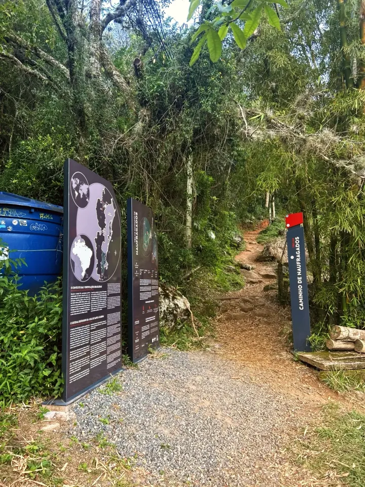
The bus stops at the Ponto final da Caieira da Barra do Sul, a few steps from the Entrada do Caminho de Naufragados. The trail board recommends walking from 07:00 to 17:00 and asks: «INICIE A TRILHA ATÉ NO MÁXIMO 14:00 PARA SER POSSÍVEL RETORNAR DURANTE O DIA.» (start the trail by that time at the latest so you can return in daylight).
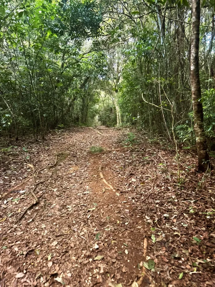
After the field come thin trunks, dry leaves and roots across the path, with short climbs and descents. Close to 1.1 mi you pass the fork where the loop comes back at the end; on the way out, keep straight on.
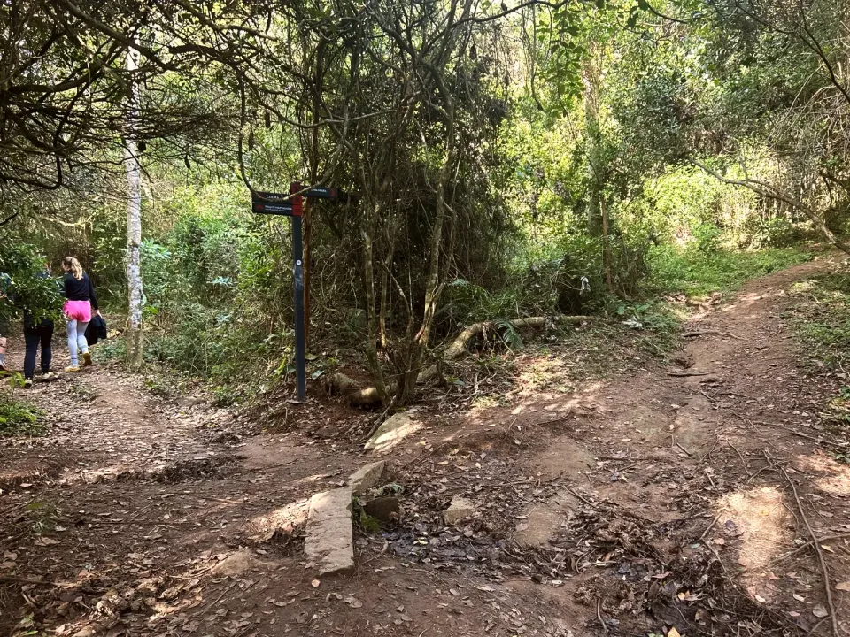
At 1.4 mi, a sign points to CAIEIRA, PRAIA DE NAUFRAGADOS and F. MARECHAL MOURA. Forte Marechal Moura lies on a side trail, about 200 ft away, which we did not walk. Close to 1.7 mi, the trail meets the sea at Portinho, a landing stage among rocks with the post BARCO PORTINHO (boat, Portinho) and the notice «ÁREA MILITAR PROIBIDA A ENTRADA» (military area, no entry).
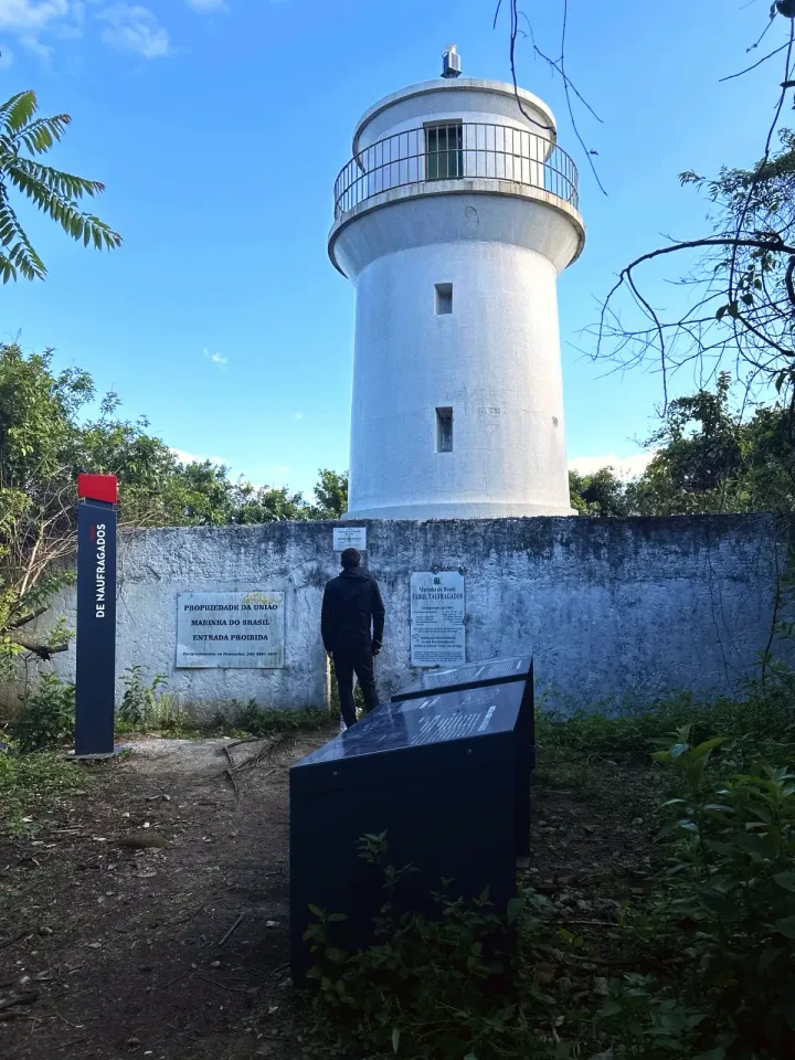
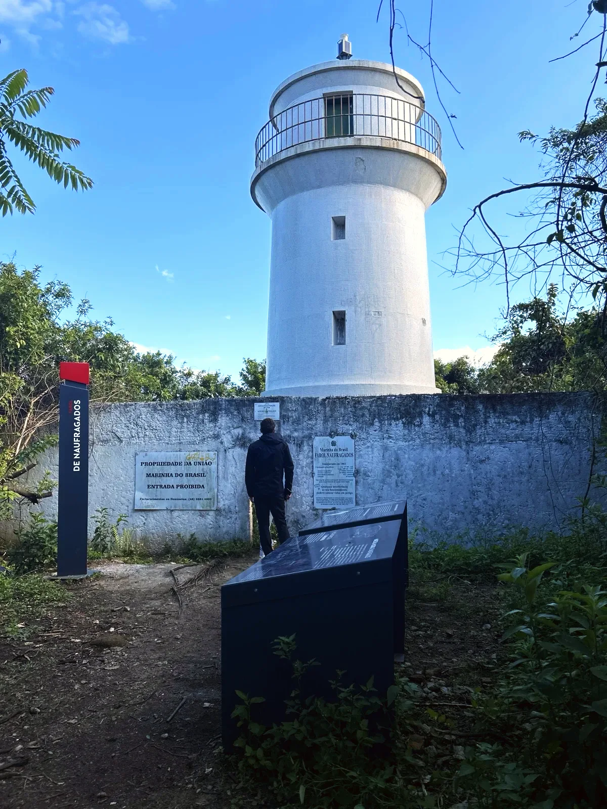
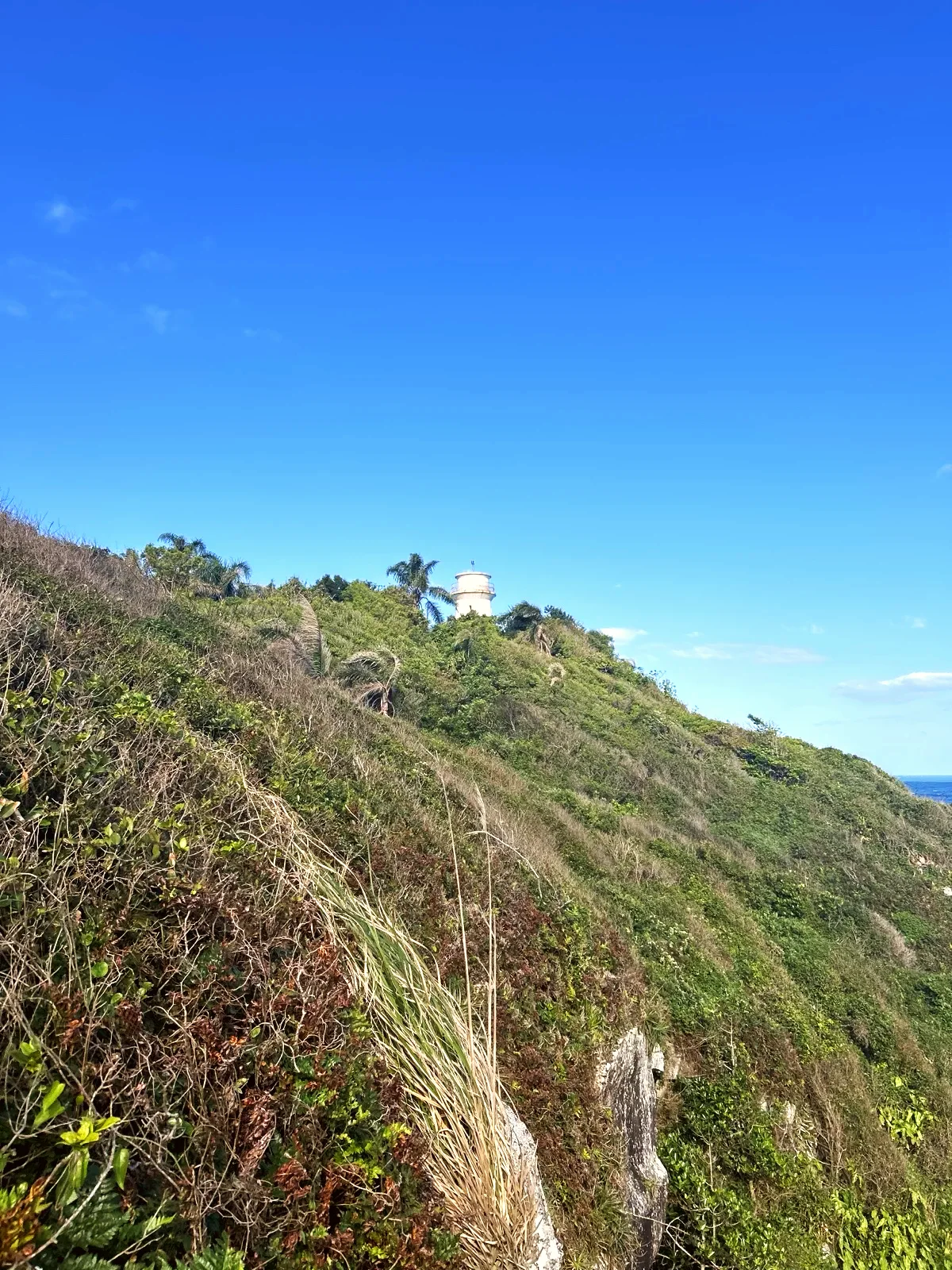
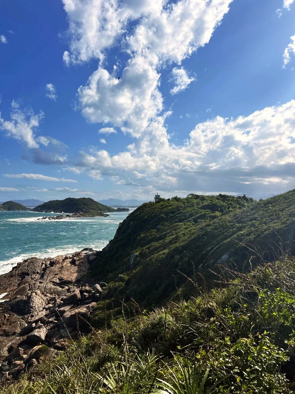
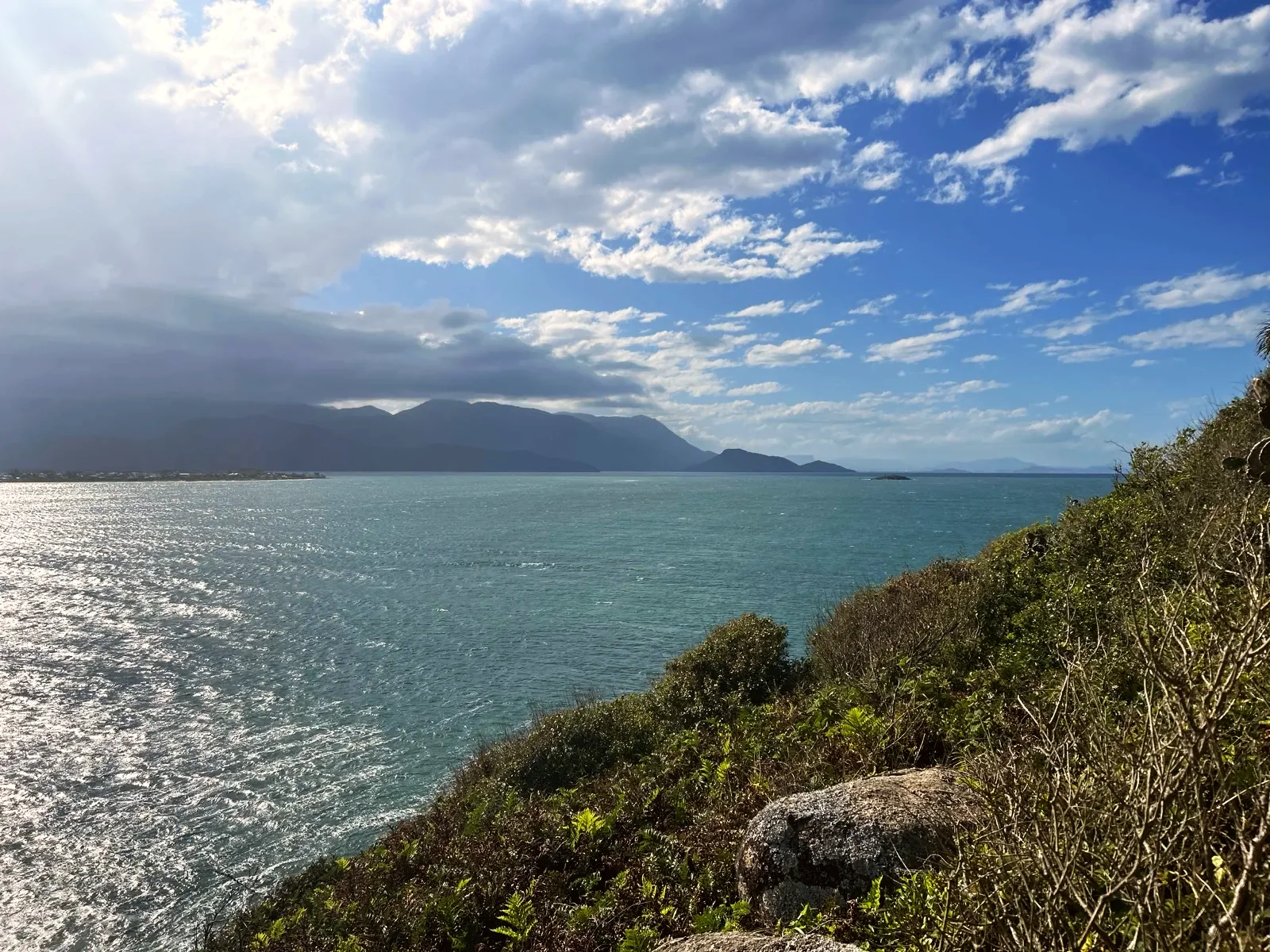
The low woodland opens onto Ponta dos Naufragados, with the sea, the islands and the mainland hills. The white tower of the Farol de Naufragados stands behind a wall with the Navy sign and the notice «ACESSO CONTROLADO» (controlled access). You see it from outside.
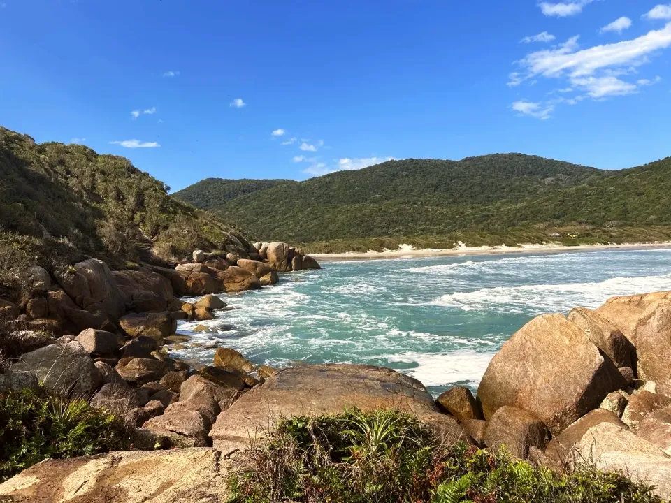
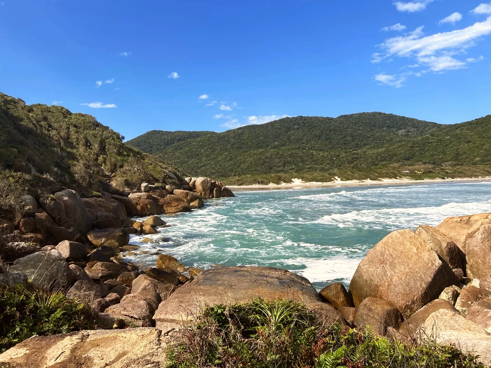
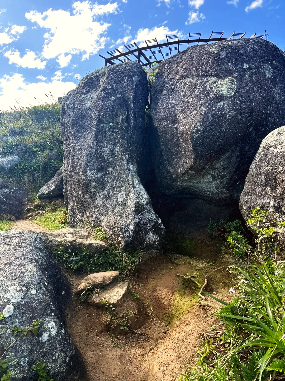
Just after the lighthouse, the trail passes between large boulders, below a wooden viewpoint. There a post points to FAROL and PORTINHO one way, PRAIA DE NAUFRAGADOS and F. MARECHAL MOURA the other. On the way down, the rocks of the point frame the bay and the sand below.
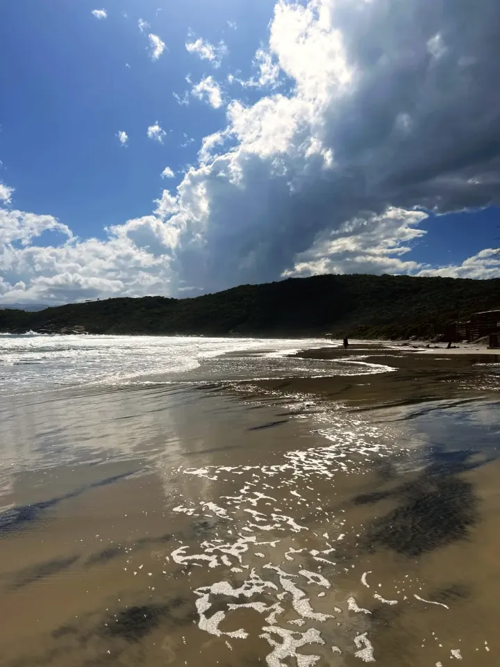
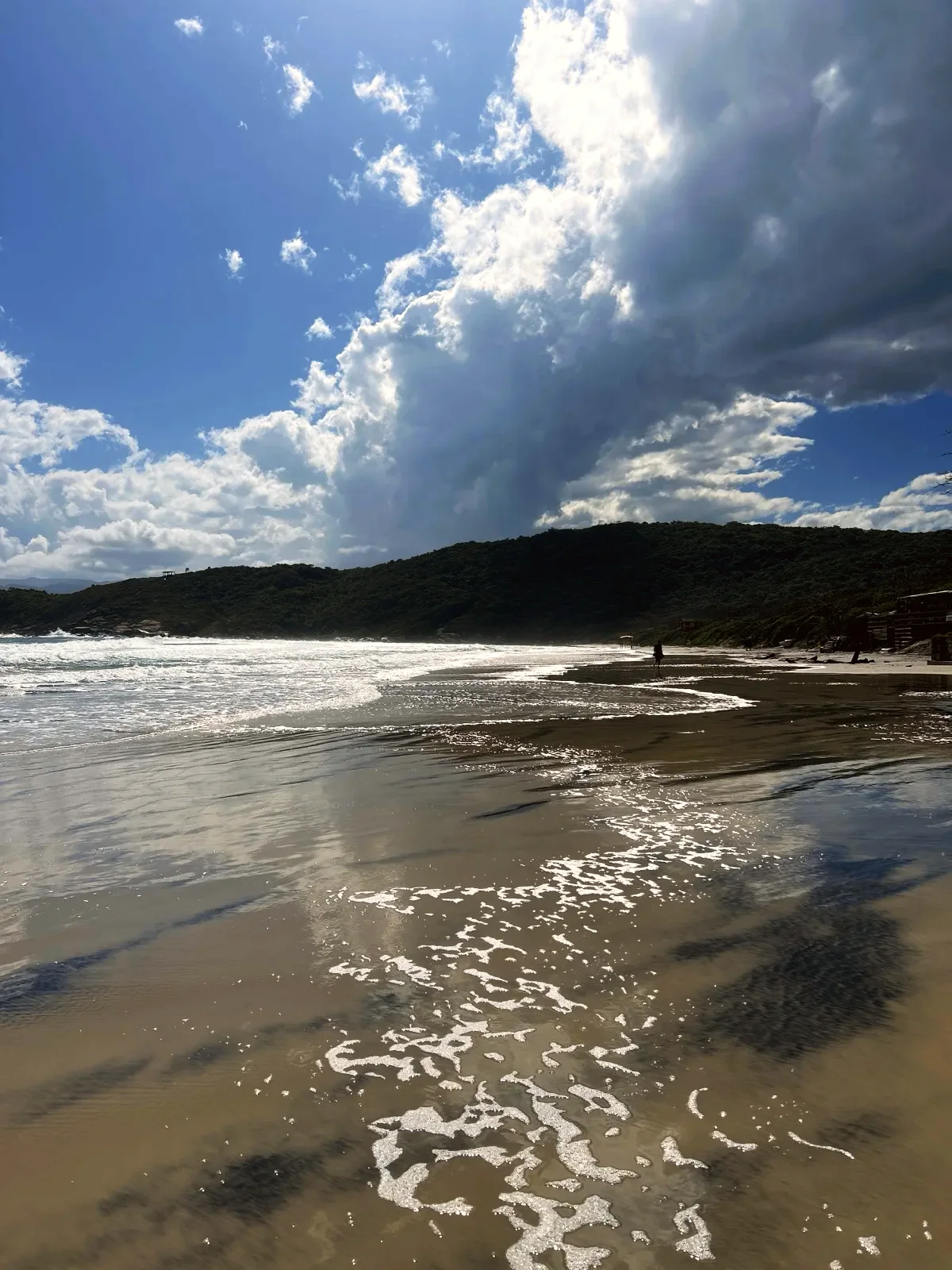
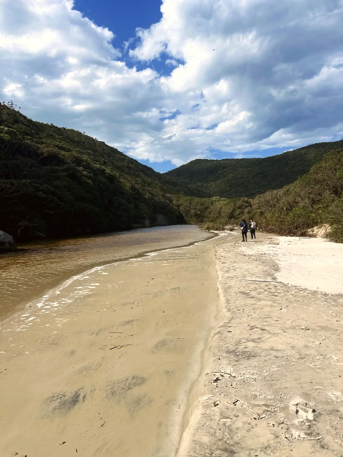
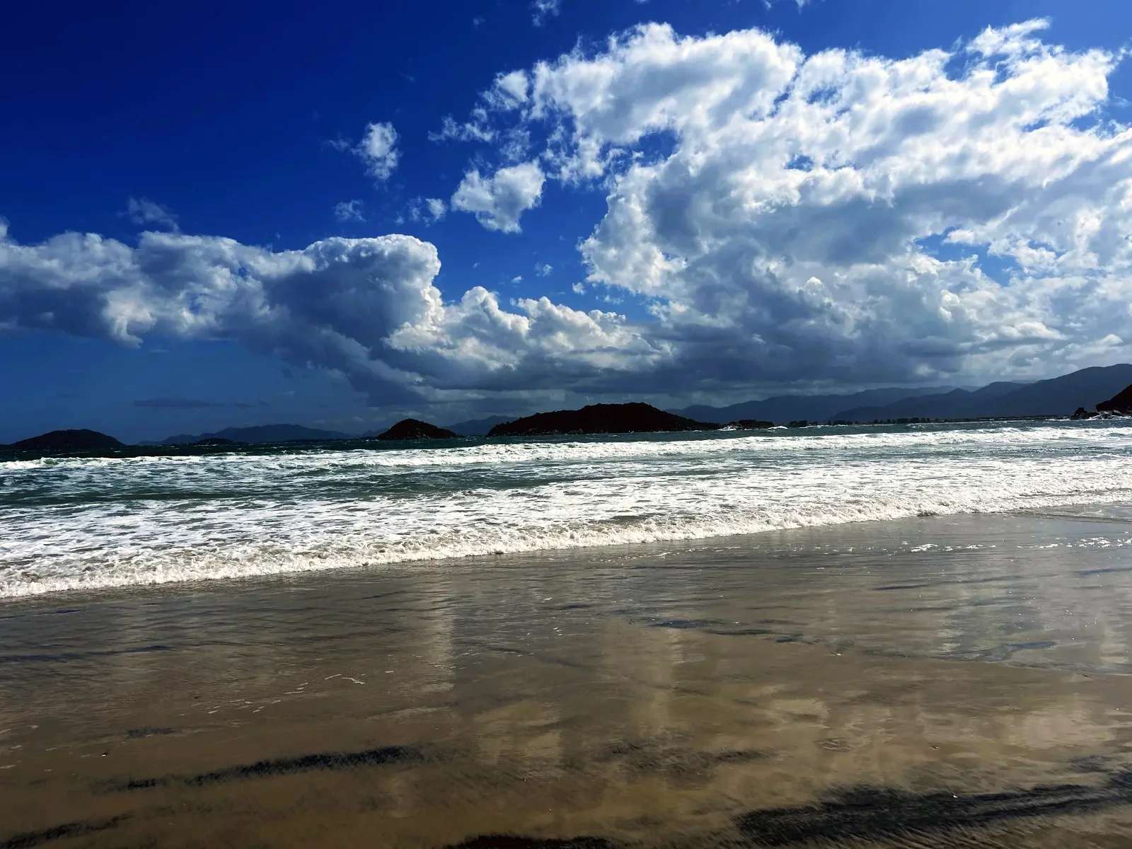
At the western corner, a river runs across the sand to the sea; on 18 October the channel was wide and calm, with people walking on the sand beside it. Then the beach opens out, with breaking waves and smooth wet sand at the water's edge. Close to 2.9 mi, a post on the sand points to TRILHA (trail) and CAIEIRA. The Capela Santa Luzia e São Pedro is mapped nearby, by the community path; we did not photograph it.
At the eastern end of the sand, close to 3.0 mi, take the community path that climbs north. At 3.2 mi, turn left onto the path that runs west, behind the beach, between a mapped marsh and the forest. It ends at 3.7 mi at the fork from the way out. From there, keep right and repeat the 1.1 mi of forest back to Caieira.
This stretch follows OpenStreetMap ways 976774754 and 203425559, and we do not know what it is like after rain. If it is flooded or closed, go back to the beach and return past the lighthouse: the day then comes to more than 6.2 mi.
The Brazilian Navy sign on the wall says: «Inaugurado em 1861» (the year it opened). It also gives a light range of 18 nautical miles and an altitude of 43 metres.
A panel beside the lighthouse explains the name. The island's southern entrance (Barra Sul) was «Temida pelos navegadores desde os anos de 1500» (feared by sailors since the sixteenth century) because of its sandbanks, currents and winds, and the many shipwrecks (naufrágios) gave the area its name. The same panel says Forte Marechal Moura was «a última fortificação construída na Ilha de Santa Catarina (1909/1913)» (the last fortification built on Santa Catarina Island), now run by the Brazilian Army.
Naufragados beach (Praia de Naufragados) is the southernmost beach in Florianópolis and lies in the APA do Entorno Costeiro protected area. According to Wikipedia, the most common story behind the name is the shipwreck of 1753: of about 250 Azorean settlers heading for Rio Grande do Sul, 77 survived. A small fishing community lives on the beach, with simple restaurants; we did not check their opening hours.
By bus, get off at the end of the Caieira da Barra do Sul line: the terminus is next to the entrance. Check the route and timetable before you set off, because getting back depends on the last bus.
By car, follow Rodovia Baldicero Filomeno to the end. OpenStreetMap marks two paid car parks by the entrance; prices and hours were not checked. The trail board mentions boats leaving the Caieira moorings for the beach, but we found no reliable timetable or price.
Pick dry weather and start in the morning. The entrance board asks you to start by 14:00 and walk until 17:00, but that is for going straight to the beach, about 1.5 hours. For the loop of about 4 hours, set off by midday. After heavy rain, roots and rocks get slick.
Bring water for the whole day, a snack, sunscreen for the point and the sand, a rain jacket and trainers or boots with good grip. Download the map to your phone and carry a torch in case the return runs late.
The loop has repeated climbs and many roots. Children from age 12 who are used to walking manage well with an adult. You cannot take a pushchair.
On the map, the loop also appears in reverse: first the path behind the beach, then the sand and the lighthouse, over the same distance. There is also a short loop that goes straight to the beach and back behind it, without the lighthouse. Choose the variant before downloading the map.
4.7 mi · 4 h
4.7 mi · 4 h
Zoom in to see photo thumbnails. Nearby photos form groups; larger groups reveal more as you zoom.
Map data from OpenStreetMap. It loads as you scroll to it.
Swipe through the walk from start to finish; the open map follows each photo.
Phone checks and walkers’ reports: Internet 0.7 mi Unstable 350 ft No internet 2.7 mi No data 1 mi latest observation
Coverage depends on the carrier and the weather. Grey dots: no observations yet.
Access paths are gray, warnings red. Camera markers show where each photo was taken and which way it looks.
The map or its tiles are unavailable. Route coordinates and information remain available as text.
Places shown: 8
Rest stopObservedPoint
Start and finish: trail post and official boards with a map, hours and advice.
-27.8163, -48.5610 · Observation date: · Source
ViewpointPotentialPoint
Fort begun in 1909, the last fortification on the island (sign on site); signposted side trail, not walked.
-27.8341, -48.5688 · Observation date: · Source
LighthouseObservedPoint
Navy lighthouse opened in 1861 (sign on the wall). Military area: seen from outside only.
-27.8357, -48.5698 · Observation date: · Source
ViewpointObservedPoint
Open point by the lighthouse, with views of the sea, the islands and the mainland.
-27.8358, -48.5708 · Observation date: · Source
BeachObservedPoint
Beach crossed on the walk; a river flows out at the western corner. No known lifeguard.
-27.8348, -48.5605 · Observation date: · Source
Rest stopPotentialPoint
Community chapel mapped by the path; not photographed.
-27.8331, -48.5611 · Observation date: · Source
Bus stopPotentialPoint
End of the Caieira da Barra do Sul bus line, next to the entrance; check the timetable.
-27.8162, -48.5617 · Observation date: · Source
ViewpointObservedPoint
Landing among rocks with the post BARCO PORTINHO; beside it, a military area with no entry.
-27.8333, -48.5705 · Observation date:
Opens a 3D view with terrain from AWS Open Data, map tiles from OpenFreeMap and satellite imagery from MapTiler; these services receive your IP address.
The map or its tiles are unavailable. Route coordinates and information remain available as text.
Elevation estimated from open terrain data (Mapzen Terrain Tiles on AWS Open Data: SRTM, Copernicus and others).
Photos along the route. Open a photo to see it at full size.
The Naufragados lighthouse, a white tower with a round gallery, behind the wall with the Navy signs.
Naufragados beach opening out, with breaking waves and wet sand reflecting the sky.
Rocks of Ponta dos Naufragados on the way down, with the bay and the beach behind.
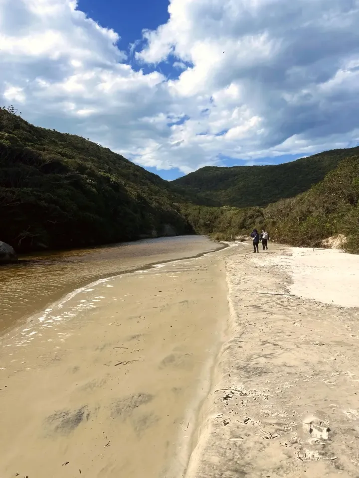
The river runs wide and calm across the sand at the western corner of Naufragados beach.
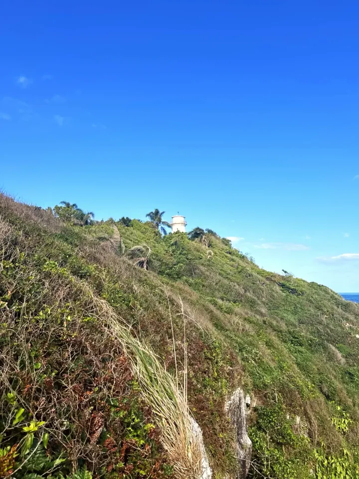
The lighthouse high on Ponta dos Naufragados, seen from the slope; the sea is on the right.
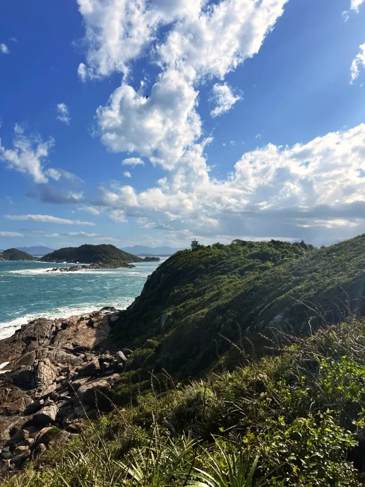
Ponta dos Naufragados with the forest, the rocky shore and the small lighthouse on top.
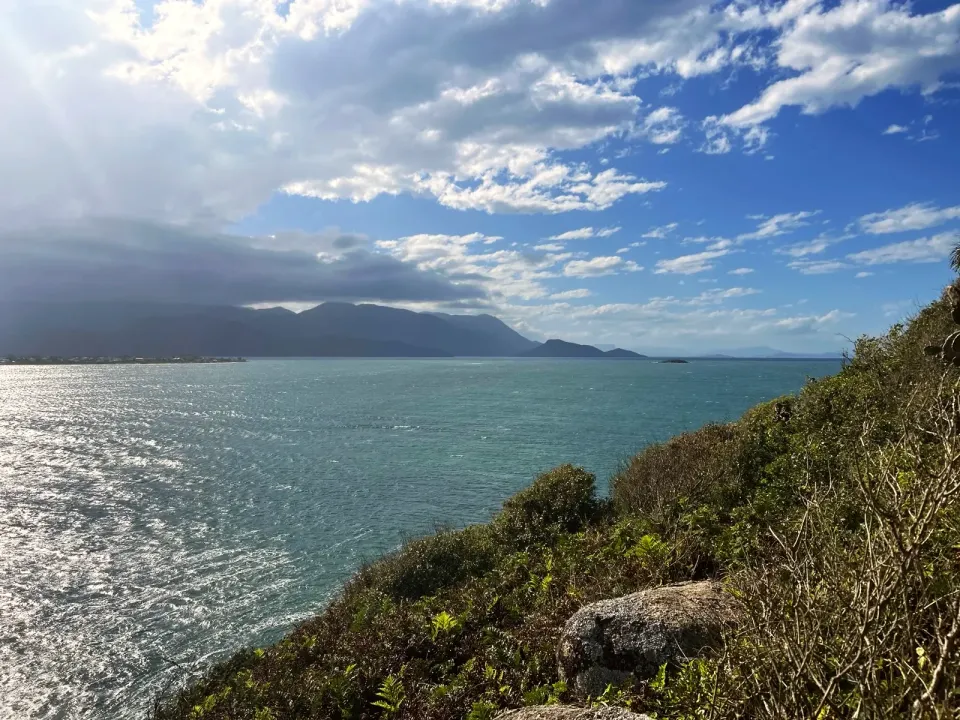
The sea and the mainland hills seen from Ponta dos Naufragados.
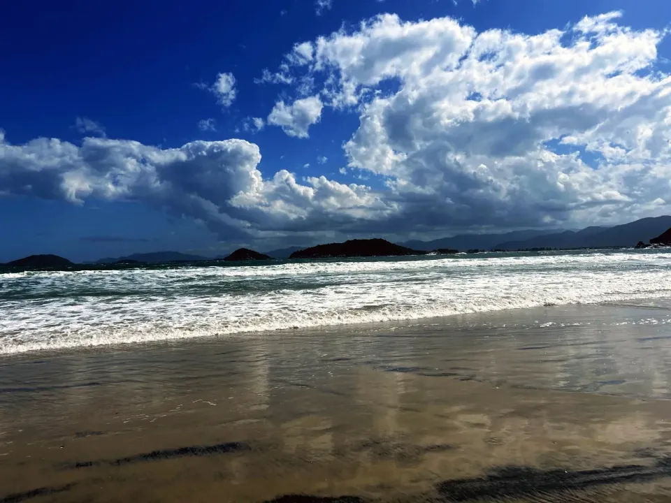
Waves reaching the wet sand of Naufragados beach, with islands in the distance.
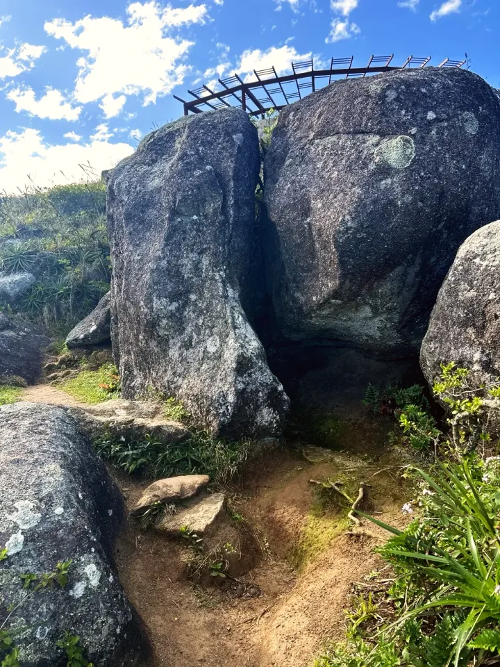
Passage between large boulders just after the lighthouse, below the wooden viewpoint.
Narrow trail in dense forest, with roots across the path.
The Entrada do Caminho de Naufragados in Caieira, with the trail post and the official boards.
Sign in the forest, 1.4 mi from Caieira: CAIEIRA, PRAIA DE NAUFRAGADOS and F. MARECHAL MOURA.
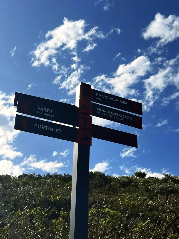
Post after the lighthouse with the signs FAROL, PORTINHO, PRAIA DE NAUFRAGADOS and F. MARECHAL MOURA.
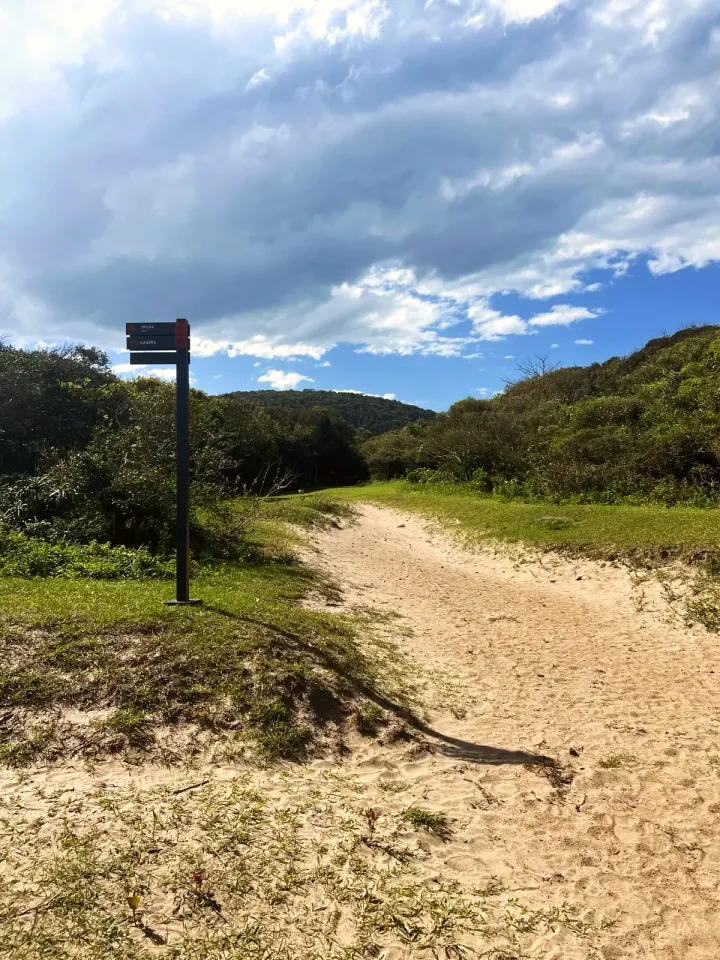
Post on the beach sand pointing to TRILHA and CAIEIRA.
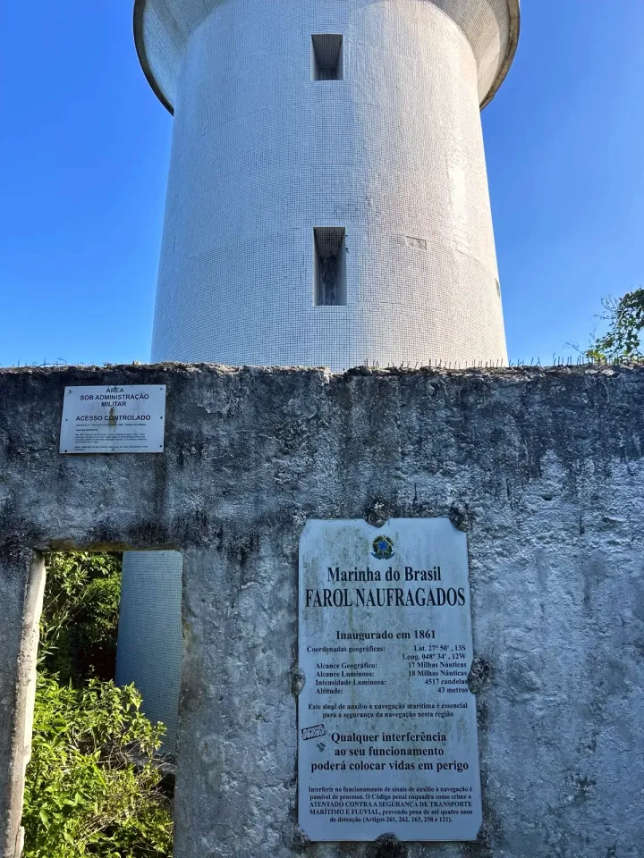
Navy sign of the Farol Naufragados on the wall, with the narrow gap beside it.
Start and finish at the Entrada do Caminho de Naufragados, at the end of Rodovia Baldicero Filomeno in Caieira da Barra do Sul. The Caieira da Barra do Sul bus stops next to it; there are two paid car parks by the entrance.
Water for the whole day, a snack, trainers or boots with good grip, sunscreen and a rain jacket. The map downloaded to your phone, and a torch in case the return runs late. The streams and the beach river have not been checked as drinking water.
Roots and slippery earth in the forest, loose rocks on the descent from the lighthouse to the beach and strong waves on the sand. The lighthouse and Portinho have military area signs: stay outside. The path behind the beach was not checked in the field; if it is flooded, go back past the lighthouse. Emergency: SAMU 192 (ambulance), Bombeiros 193 (fire and rescue).
Loop · 4.7 mi · 4 h
Returns to the same entrance. Times are estimates; download the map before you set off.
Loop · 4.7 mi · 4 h
Returns to the same entrance. Times are estimates; download the map before you set off.
Loop · 3.3 mi · 2:50 h
Returns to the same entrance. Times are estimates; download the map before you set off.
Loop · 3.3 mi · 2:50 h
Returns to the same entrance. Times are estimates; download the map before you set off.
Updated from the same shared observations as the map and app. Distances follow the main walk, including the return.
Internet reported at these distances from the start: 0 ft–0.7 mi; 1.9 mi–2 mi; 4.1 mi–4.7 mi.
Reports are observations, not a guarantee. Coverage varies by carrier and conditions. Download the map before leaving.
Trail entrance at the end of Rodovia Baldicero Filomeno, next to the bus terminus.
Trail entrance at the end of Rodovia Baldicero Filomeno, next to the bus terminus.
Parking and taxi information reflects the recorded observation. Check current access and prices before leaving.
No parking or taxi locations verified yet.
The loop on the Caminho dos Naufragados trail is 4.7 mi. The lighthouse alone is 2.1 mi from the entrance, and the sand begins close to 2.4 mi.
Allow about 4 hours for the loop with stops. The entrance board estimates 1.5 hours of trail to the beach and asks you to start by 14:00.
Moderate: about 1 210 ft of climbing in all, roots in the forest and loose rocks on the descent to the beach. No scrambling is needed.
No. The signs on the wall say «ACESSO CONTROLADO» and mark an area under military administration; you visit it from outside.
The entrance board mentions boats from the Caieira moorings, and OpenStreetMap marks an informal crossing. We found no reliable timetable or price; check locally.
Yes. The entrance board has the official map, and this page shows the measured line to download to your phone.
Collect it in person in the Boramundo app at Farol de Naufragados.
Mark a route after completing one full published walking option. Photos and GPS are not required. Repeats count once.
Sources and references: openstreetmap.org, pt.wikipedia.org, visitefloripa.com.br, komoot.com
In this first version, ratings are user opinions. Physical passage has not been verified.
See open group outings on this route or propose your own.