
Rio Vermelho dunes
Rest stopObservedApproximate radius: 150 m
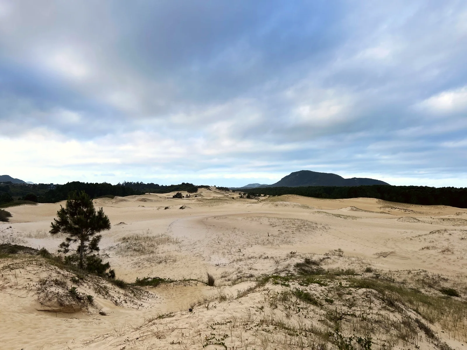
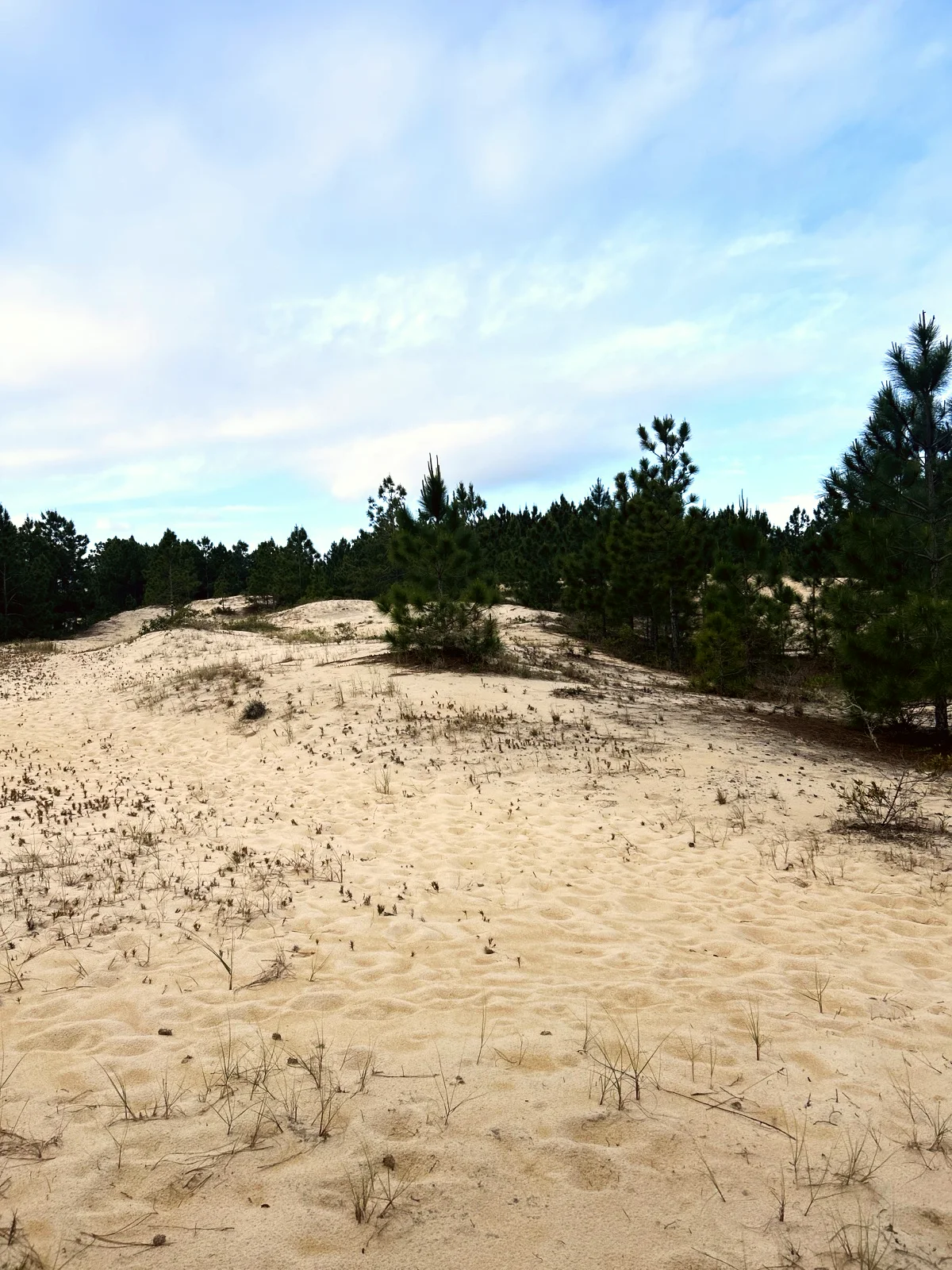
Field of pale sand with young pines; the natural place to stop with kids. No shade.
-27.4988, -48.4051 · Observation date:
The Rio Vermelho State Park trail in Florianópolis: 1.5 km through planted pines, the Rio Vermelho dunes and a boardwalk over a wetland. Easy with kids.
Illustration based on our photos of this route
Short and flat. For everyone.
On this route

The Rio Vermelho State Park trail in Florianópolis: 0.9 mi through planted pines, the Rio Vermelho dunes and a boardwalk over a wetland. Easy with kids.
Nobody has planned this trail for the next 7 days yet.
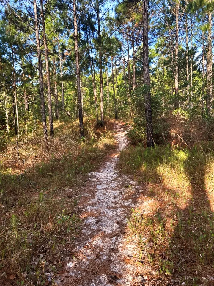
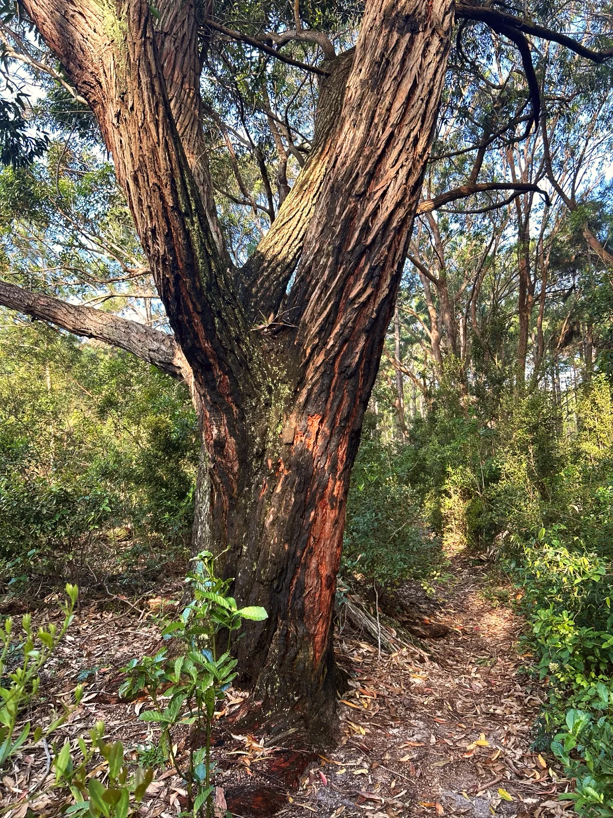
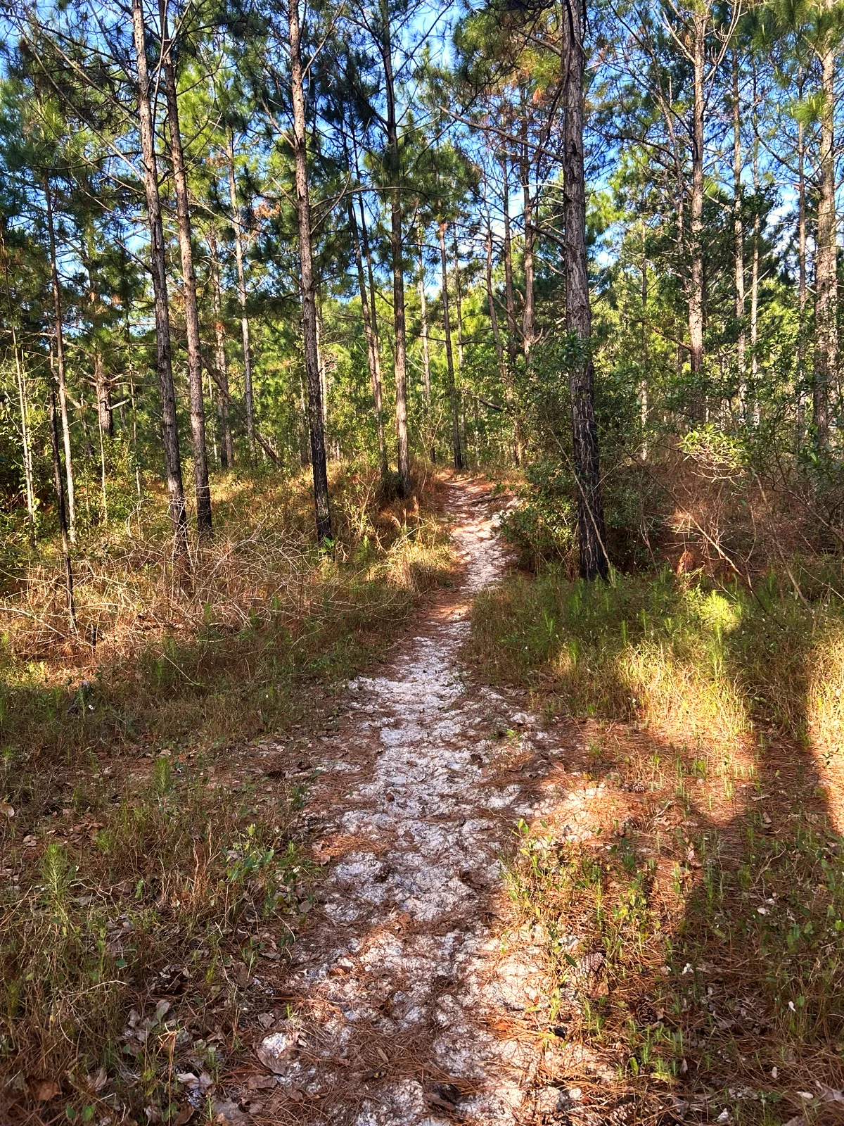
The walk starts on a wide sandy path at the edge of São João do Rio Vermelho and heads northeast between tall pines planted in rows. Early on, at about 950 ft, an old twisted tree stands beside the path.
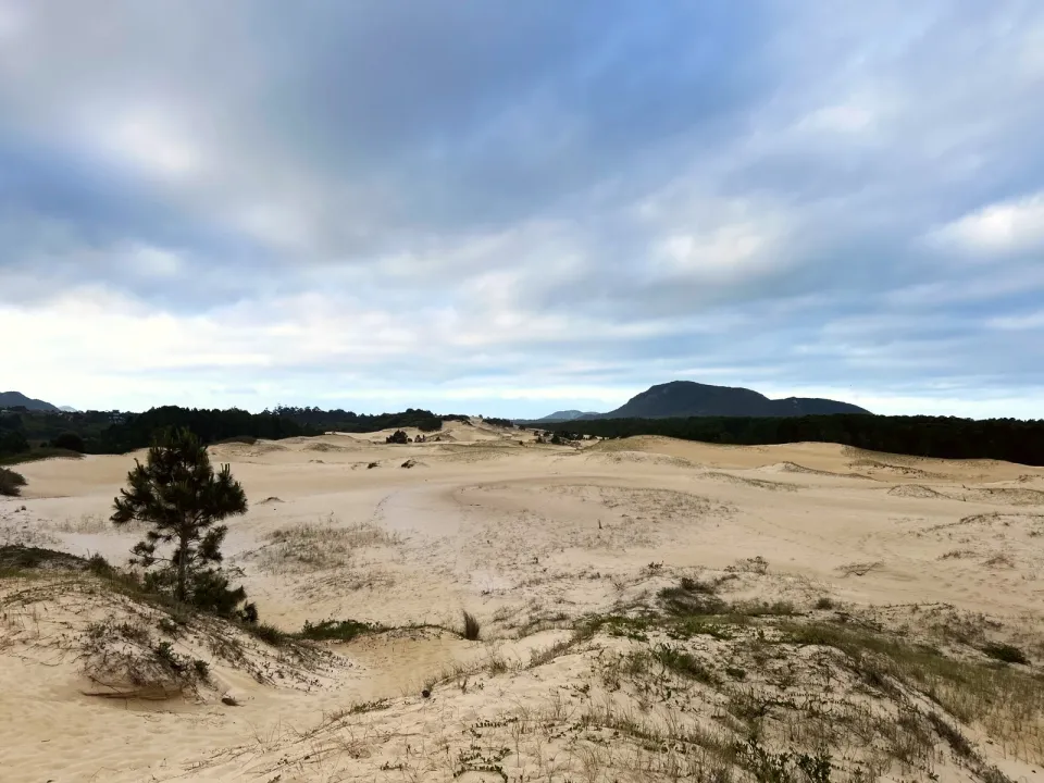
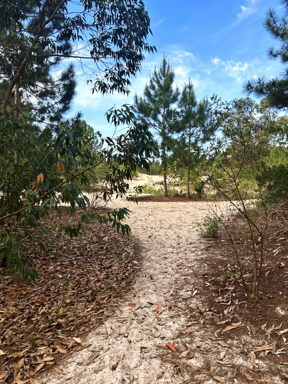
The forest opens onto a field of pale dunes with scattered young pines, low grass and, on a clear day, the green hills of the island on the horizon.
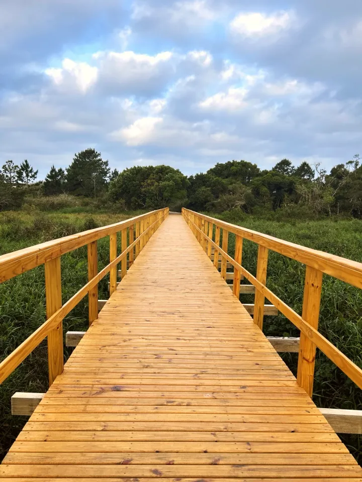
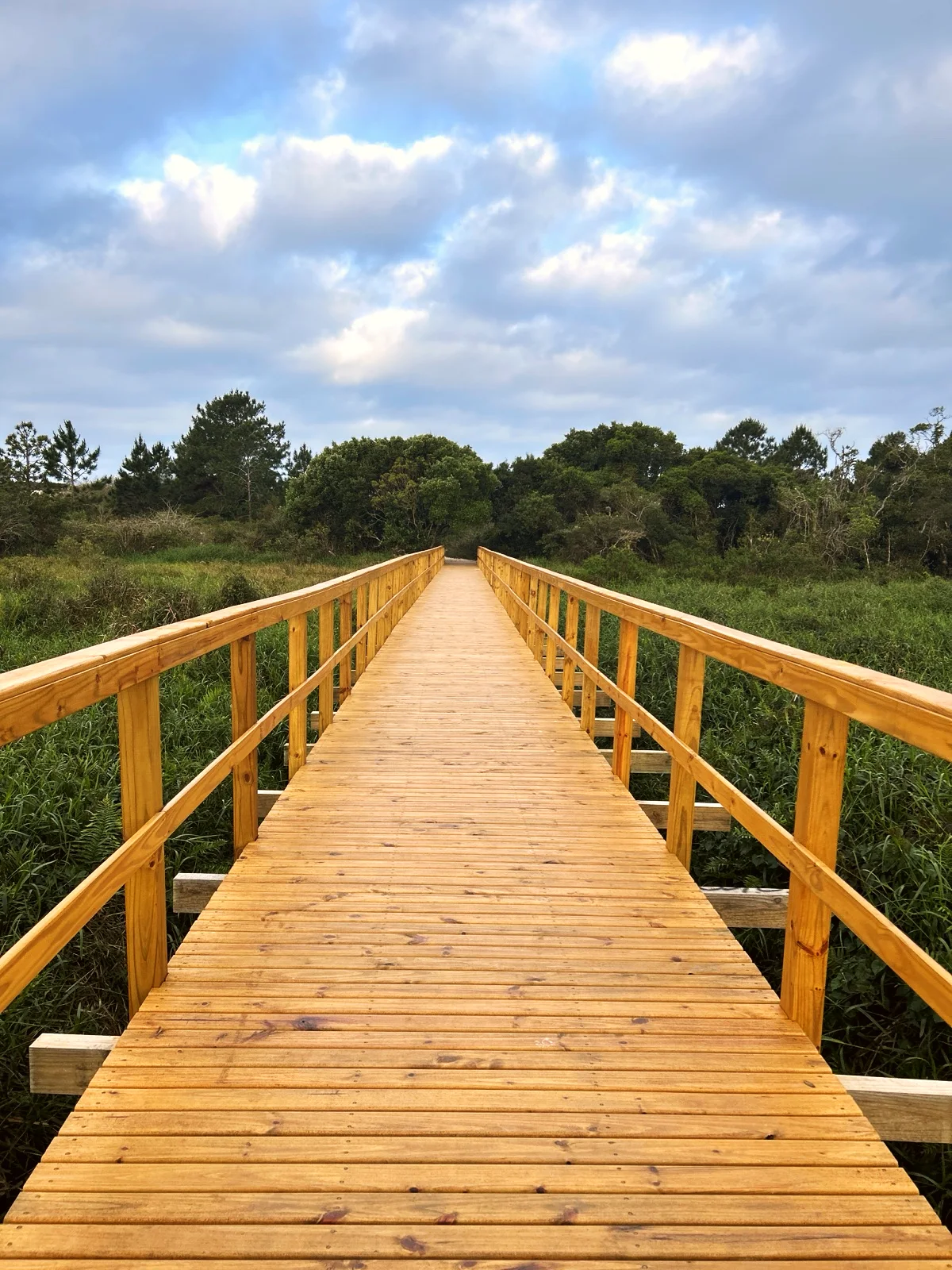
The path dips back into vegetation and reaches a new-looking wooden boardwalk with railings over a flooded hollow of reeds and water plants.
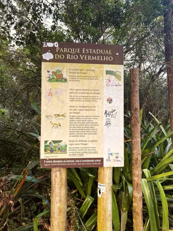
The trail ends beside a Rio Vermelho State Park sign (Parque Estadual do Rio Vermelho) and a small wooden platform where the path leaves the park. The sign, from IMA, explains why pet dogs and cats harm native wildlife and states the park rule: "The movement of domestic animals is permitted only with their guardians, with leashes and collars (dogs and cats) required on trails and roads." (Our translation; the sign is in Portuguese.)
There is a longer option via Praia do Moçambique, with the same start and finish. At the first fork, a sandy path heads east to the beach; on the way back, a track through the dunes rejoins the main path before the boardwalk. We mapped this section but have not walked it, so we do not know the ground there. The line is on the route map, under the option for this variant.
The route works for small children because the ground is level and the interesting parts are close together: about 15 minutes of forest, then the dunes, then the boardwalk. On soft sand children walk more slowly, so allow more than our 30 minutes of walking. A stroller will not roll on this sand; for the youngest, a back carrier is the best choice.
We saw no drinking water, restrooms, café or trash cans along the way. Bring everything you need and pack your trash out. On the boardwalk, next to the water, keep children within arm's reach.
Use the start pin on the map for a taxi or ride-hailing drop-off: it is where the sandy path leaves the houses of São João do Rio Vermelho. We did not check parking near the start.
Since the trail is one way, arrange the return in advance or call a car from the finish. The bus stop on the map comes from OpenStreetMap, and we do not know which lines stop there or when. If you would rather not arrange a car, walk back the same way: 1.9 mi in total.
Go in the morning or late afternoon. The dunes have no shade at all. In summer, the open sand can get too hot for bare feet around midday. We walked from 16:23 to 17:30 in mid-October.
Bring water, sunscreen and hats for everyone. Wear closed-toe trainers: soft sand gets into sandals easily. Download the route map before you set off.
Rio Vermelho State Park (Parque Estadual do Rio Vermelho) protects 1,532 hectares on the east coast of Santa Catarina Island. It runs from the Rio Vermelho district in the north to Barra da Lagoa in the south, between Lagoa da Conceição and Praia do Moçambique. It was created by state Decree No. 308 of 24 May 2007 and is managed by IMA, the Santa Catarina Environment Institute.
The park's history explains the straight rows of pines at the start of the trail. In 1962 the area became a Forest Station, a test ground for planting exotic species, pine and eucalyptus, until 1970. The planting altered the restinga (the native coastal sand-plain vegetation), and today the pine is regarded as an invasive species.
The park also has the Ecological Trail, a guided visit booked through IMA's visitor website. It leaves from the park headquarters on SC-406 and covers another part of the park; the walk on this page is a separate path in the north.
1 mi · 30 min
1 mi · 30 min
Zoom in to see photo thumbnails. Nearby photos form groups; larger groups reveal more as you zoom.
Map data from OpenStreetMap. It loads as you scroll to it.
Swipe through the walk from start to finish; the open map follows each photo.
Mobile signal was available along the whole route when we walked it.
Access paths are gray, warnings red. Camera markers show where each photo was taken and which way it looks.
The map or its tiles are unavailable. Route coordinates and information remain available as text.
Places shown: 4
Rest stopObservedApproximate radius: 150 m
Field of pale sand with young pines; the natural place to stop with kids. No shade.
-27.4988, -48.4051 · Observation date:
ViewpointObservedPoint
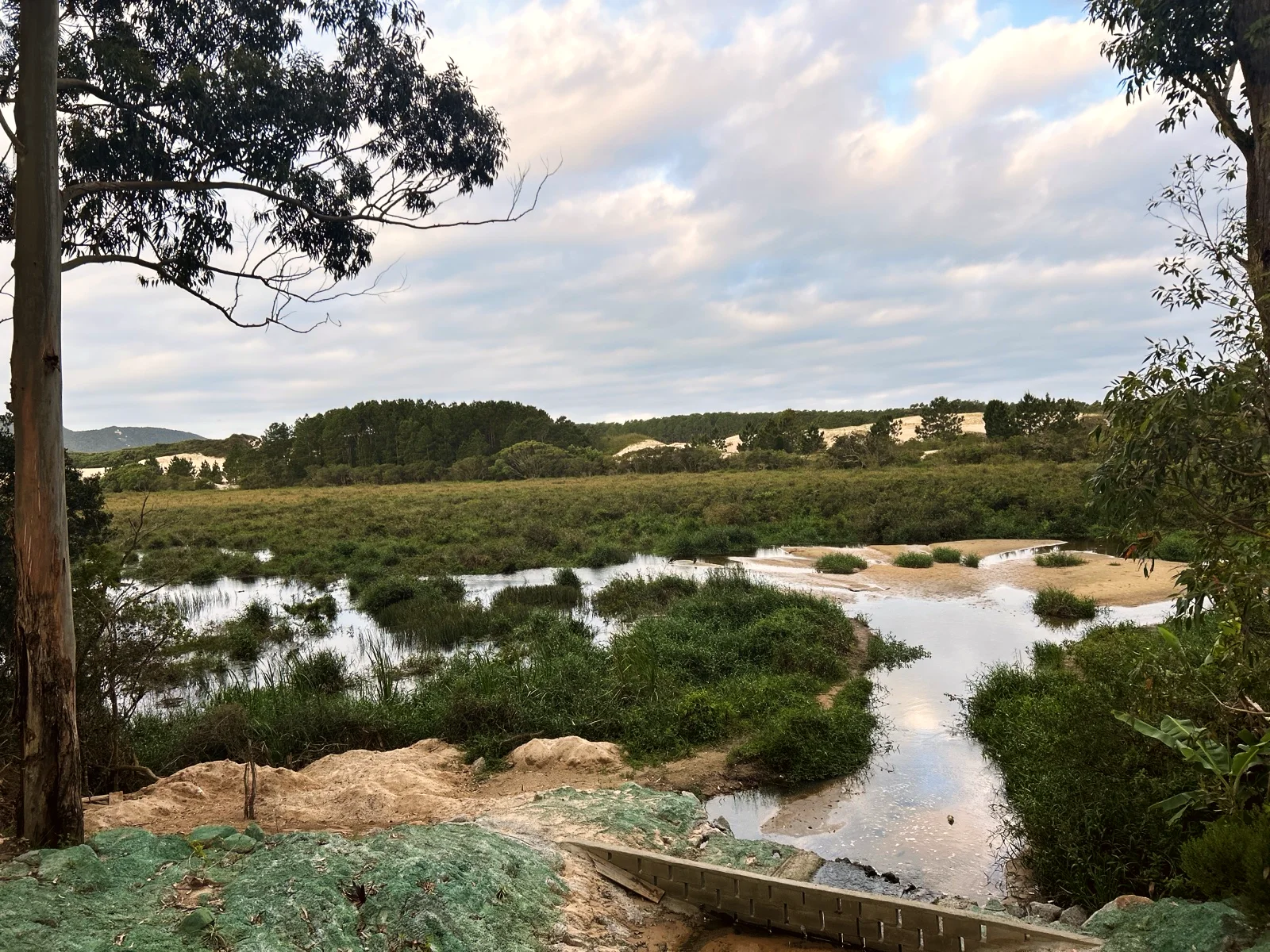
Clearing over a shallow pond and reeds, just after the boardwalk.
-27.4968, -48.4069 · Observation date:
Bus stopPotentialPoint
In OpenStreetMap, about 1 310 ft west of the finish; lines and timetable not checked.
-27.4958, -48.4110 · OpenStreetMap node 13116681781
BeachPotentialPoint
End of the mapped path of the beach option; not walked.
-27.5053, -48.4049 · Observation date: · Source
Opens a 3D view with terrain from AWS Open Data, map tiles from OpenFreeMap and satellite imagery from MapTiler; these services receive your IP address.
The map or its tiles are unavailable. Route coordinates and information remain available as text.
Elevation estimated from open terrain data (Mapzen Terrain Tiles on AWS Open Data: SRTM, Copernicus and others).
Photos along the route. Open a photo to see it at full size.
Open dunes with young pines and the island hills on the horizon
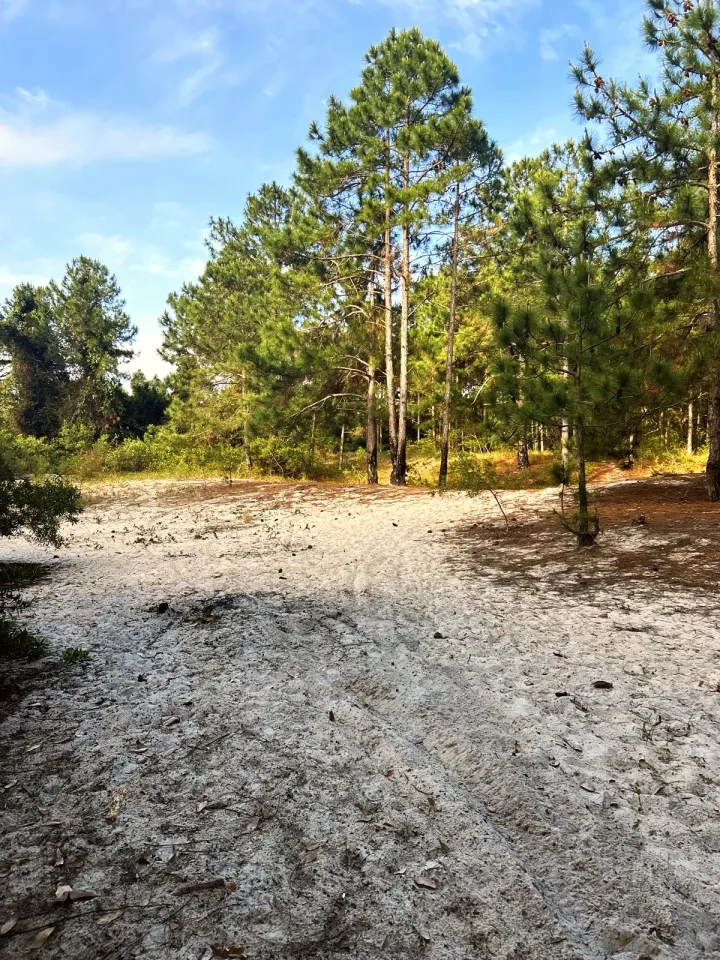
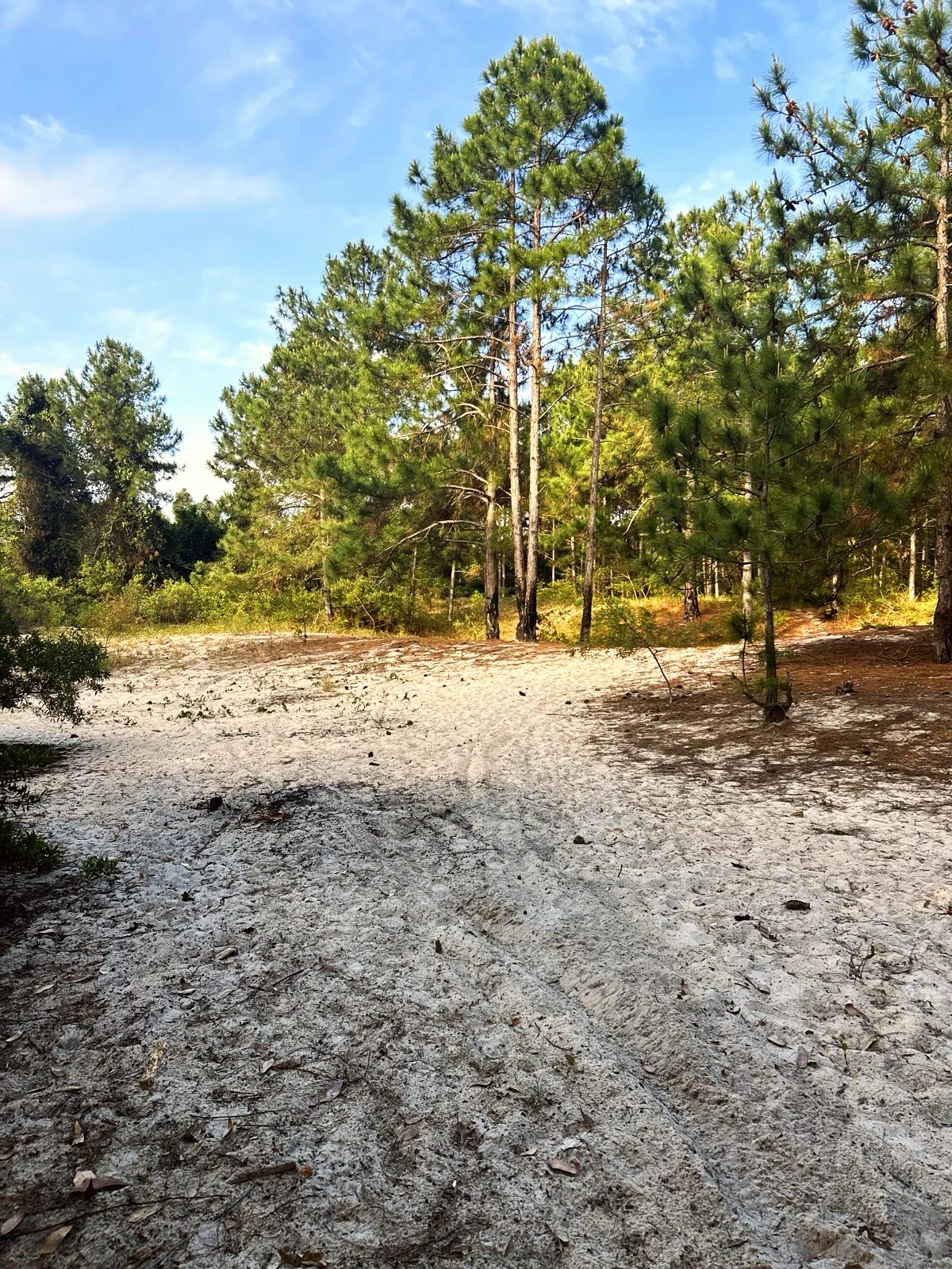
Start of the trail: a wide sandy clearing under tall planted pines
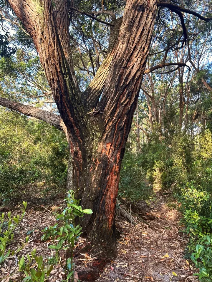
Old twisted tree beside the path in the pine forest
Sandy path between the pines, covered with fallen needles
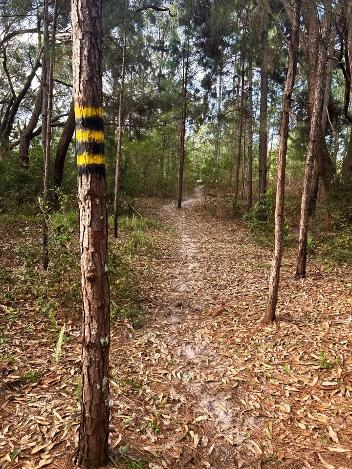
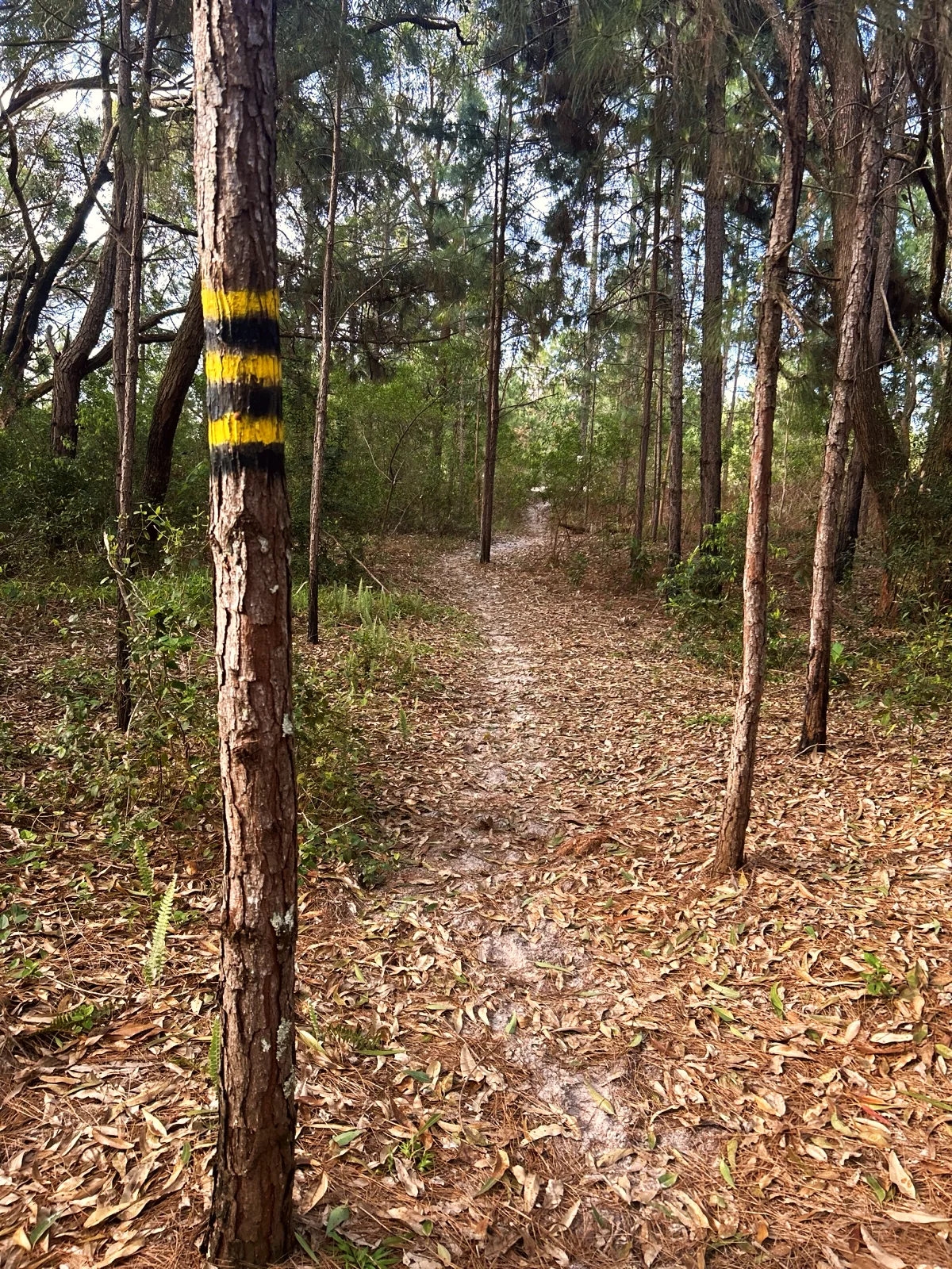
Yellow and black stripes painted on a pine trunk mark the path
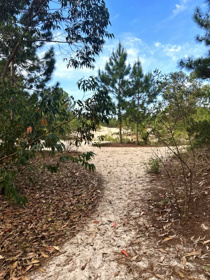
The path curves toward the light where the forest opens onto the dunes
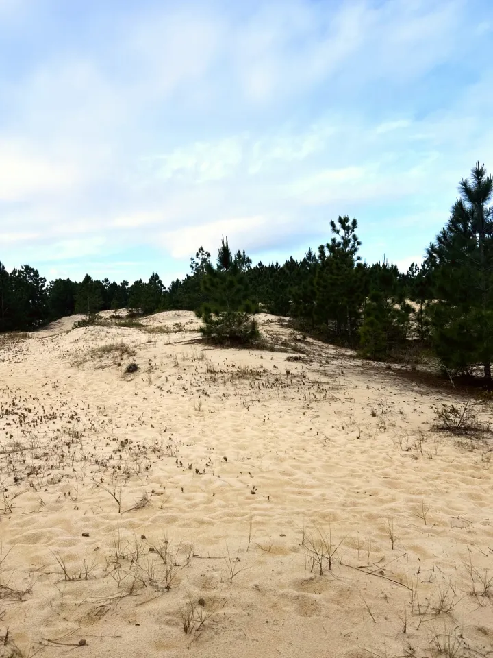
First view of the dune field with scattered pines
Wooden boardwalk with railings over the wetland
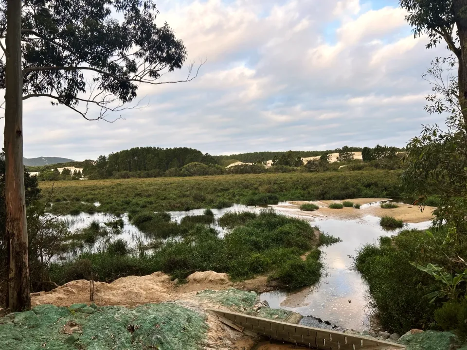
Shallow pond and reeds seen from the clearing after the boardwalk
Rio Vermelho State Park sign at the end of the trail
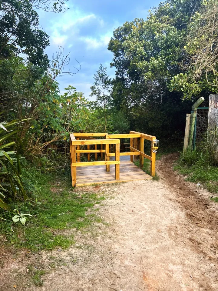
The exit at the finish: a small wooden platform where the path leaves the park
One-way walk. Ask the taxi or ride-hailing driver to drop you at the start pin, at the edge of São João do Rio Vermelho, and arrange the ride back from the finish pin. OpenStreetMap shows a bus stop about 1 310 ft west of the finish; lines and timetable were not checked. Parking near the start was not checked either.
Water for everyone, a hat and sunscreen, closed-toe trainers for the soft sand, a back carrier instead of a stroller, and the route map downloaded on your phone. There is nothing to buy along the way.
The dunes have no shade and the sand gets hot around midday in summer. On the boardwalk, next to the water, stay close to small children. Dogs on a leash only.
1 mi · 30 min
One way. Arrange a taxi or ride-hailing car at the finish.
Out and back · 1.9 mi · 1 h
Walk back the same way to the pine forest: 1.9 mi in total, no car needed.
1.3 mi · 1 h
Same start and finish as the main trail, with a detour to Praia do Moçambique: at the first fork take the sandy path to the beach, then the track through the dunes to the main trail, where the forest path bends, and on over the boardwalk to the finish. Arrange a car back at the finish. The beach paths are mapped but have not been walked yet.
Updated from the same shared observations as the map and app. Distances follow the main walk, including the return.
Reports are observations, not a guarantee. Coverage varies by carrier and conditions. Download the map before leaving.
Wide sandy path between planted pines; yellow and black stripes on some trunks.
Rio Vermelho State Park sign after the boardwalk over the wetland.
Parking and taxi information reflects the recorded observation. Check current access and prices before leaving.
Where the sandy path leaves the houses of São João do Rio Vermelho.
Next to the park sign; a sandy lane leads west to the road.
On the east coast of Santa Catarina Island, in Florianópolis, between Lagoa da Conceição and Praia do Moçambique. This trail starts in the north of the park, at the edge of São João do Rio Vermelho.
We found no ticket booth or entrance fee on this path, but we did not confirm it with IMA. The guided Ecological Trail, which leaves from the headquarters on SC-406, is a different visit with its own booking on IMA's website.
About 30 minutes of walking for 0.9 mi one way. With a stop on the dunes, allow about an hour.
Yes, with an adult close by; the route is marked as suitable for children from age 1. The ground is level, soft sand; bring a carrier for when little legs get tired.
Yes. This trail crosses the Rio Vermelho dunes, an open field of pale sand inside the park, between 750 and 3 610 ft. It has no shade at all.
Yes, on a leash only. The IMA sign at the end of the trail allows pets only with their owners and on leashes and collars on the trails and roads.
Collect it in person in the Boramundo app at Vista do banhado.
Mark a route after completing one full published walking option. Photos and GPS are not required. Repeats count once.
Sources and references: pt.wikipedia.org, ima.sc.gov.br, documentacao.socioambiental.org, en.wikipedia.org, visitacao.ima.sc.gov.br, openstreetmap.org
In this first version, ratings are user opinions. Physical passage has not been verified.
See open group outings on this route or propose your own.