
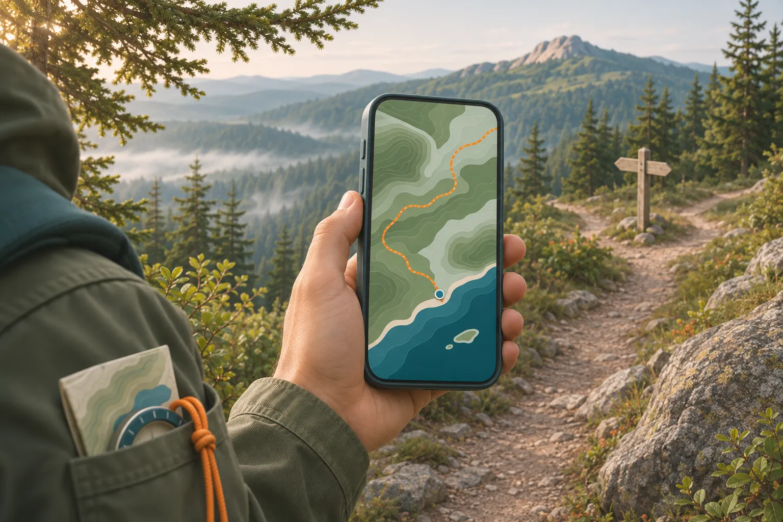
What offline maps for hiking do, and what they don’t
They are map tiles you save to your phone before the trip, so the map still draws when there is no cell service. Out on the trail the phone works out where you are from GPS satellites, which needs no signal and no data plan. Put the two together and you get a blue dot on your saved map in a canyon with zero bars.
What a downloaded map cannot do is fetch anything new. Searching for a place you did not save, rerouting, live weather, and sharing your location all need a connection. And if you only zoomed out over the area before leaving, the detailed trail layer may never have been saved at all.
Works offline
The saved map, your position on it, a recorded track, the GPX route you imported, the compass.
Needs signal
New searches, areas you did not download, live traffic and weather, sharing your location, most emergency calls.
Choose a hiking app with offline maps
Most people in the US start with the map app already on their phone, and for a short hike on a well-signed trail that is often enough. For anything longer, a dedicated hiking app shows contour lines, trail names and the trail itself, which street maps often skip. Here is how the options sort out. Prices and plans change, so check the current offer before you pay.
Google Maps and Apple Maps
Free and already installed. Good for driving to the trailhead and for trails close to roads. Thin on backcountry trails, and Google gives no walking directions offline.
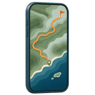
Hiking apps: Gaia GPS, AllTrails, CalTopo
Topo layers, trail databases and route planning. Downloads for offline use usually need the paid plan: AllTrails keeps offline maps in Plus and Peak.
Free OpenStreetMap apps
Organic Maps is free, with no ads, and has an outdoors style that shows trails, shelters and water sources. OsmAnd’s free version allows a limited number of downloads: 7 on Android, 5 on iPhone.
Official park and forest maps
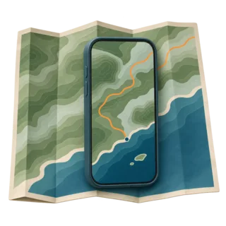
The NPS App lets you download a whole park for offline use. The USGS gives away its US Topo maps as GeoPDFs, which map apps such as Avenza Maps can open with your position on them.
A free hiking app is fine if it has the trail. Before you choose, open the app at home, find your trailhead and zoom in. If the trail you plan to hike is drawn on the map, the app will do. If it is missing, try another app, or carry a paper map of that trail.
How to download offline maps for hiking
Every app has its own buttons, but the job is the same. We do it the evening before, on home Wi-Fi, with the phone plugged in.
Find the trailhead and the whole route. Include the drive in if the last miles have no signal, and any side trail or bail-out route you might take.
Draw the area with a margin. Add a few miles on each side, in case you leave the trail or take a bail-out route.
Pick the detailed zoom level and the right layer. Hiking apps ask how far in to save. Choose the level where the trail and contour lines appear. A satellite layer is useful but takes much more space.
Download, then add your route. Save the planned route or import a GPX file from the park or a trail guide, so the line you mean to follow is on the map.
Open the download list and check it finished. A map stuck at 90% looks fine at home and breaks on the trail.
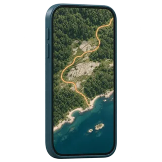
Satellite layer
Shows clearings, rock and water you can recognize from the ground. Big files, so save it only for the route corridor.
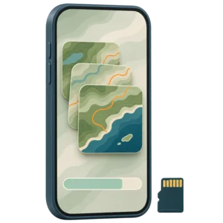
Storage
Detailed topo and satellite layers take far more space than a street map. Apple Maps shows the file size before you download, and on Android Google Maps can save to an SD card.
Gaia GPS, AllTrails and other hiking apps
In Gaia GPS you select an area or a saved route and choose download, along with the map layer you want. In AllTrails you open a trail or a map area and choose download; the maps then sit under Saved, Downloads. CalTopo, OsmAnd and Organic Maps work the same way: pick an area or a region and save it.
How to download offline maps in Google Maps
Google Maps is the one most people already have, and its offline maps work the same way on Android and iPhone.
Search for the park or the trailhead. Open the place sheet at the bottom of the screen.
Tap More, then Download offline map. On Android you may need to swipe the place sheet first. Your profile picture menu also has an Offline maps item where you can choose your own map.
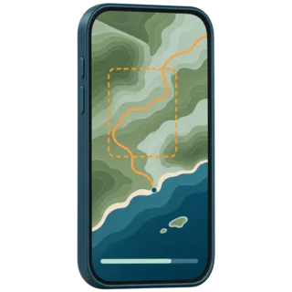
Fit the blue frame over your whole route, then tap Download. Zoom out first if the frame does not cover the whole hike; you can save more than one area.
Offline maps in Google Maps expire. Google tries to update them automatically on Wi-Fi when one is 15 days or less from expiring, and you can switch on auto-update in the Offline maps settings. A map you saved for last summer’s trip may simply be gone.
Does Google Maps work offline for walking?
The map and your blue dot do. Directions do not: Google’s own help page says that offline, “transit, bicycling, or walking directions are unavailable.” Only driving directions work. So on a hike you follow the trail yourself: keep the map oriented the way you walk and check your blue dot at every junction. Many hikers also save the trail as a route in a hiking app, which draws the line to follow.
Google Maps is not a trail map. Many backcountry trails are missing or drawn only in part. Use it to reach the trailhead and to check where you are, and carry a map that actually shows the trail.
Offline maps on iPhone: Apple Maps
Since iOS 17, Apple Maps saves offline maps on iPhone, and unlike Google it keeps turn-by-turn directions for driving, walking, cycling and transit. Walking directions only follow paths that are in Apple’s map data, so check that your trail is there.
Search for a place, or drop a pin on an empty spot. Tap Download, adjust the area, then tap Download again.
Or tap your picture next to the search field, then Offline Maps. Tap the add button, choose a place, size the area and download.
Check the settings on the same screen. Turn off Optimize Storage for a trip map: it deletes maps you have not used for a while. Only Use Offline Maps makes Maps rely on the download even with signal, a quick way to test it.
In US national parks, Apple Maps also lists hikes with topographic maps that you can download for offline use. Downloaded maps do not sync between devices, so save them on the phone you will carry.
Offline maps on an Apple Watch or a GPS watch
An Apple Watch shows your iPhone’s offline maps only while the phone is on and within Bluetooth range, about 33 feet, so it is a second screen, not a backup. Garmin, Coros and Suunto watches with maps store them on the watch itself, through each brand’s app. A watch screen is handy for a quick check; route decisions are easier on a phone or a paper map.

GPS watch
Maps or a breadcrumb track on your wrist, and the battery is separate from your phone.
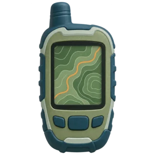
Handheld GPS
Built for the trail, runs on spare batteries. Load the same GPX route as on the phone.
Test the offline map in airplane mode before you go
This is the step most guides skip, and it is the one that catches problems. At home, turn on airplane mode and switch off Wi-Fi. Then open your app and walk through the hike on the screen. If anything is blank now, it will be blank on the trail. Five minutes on the couch saves the guesswork.
Offline maps not working? Common fixes
If the download does not show offline, it usually comes down to one of a few things.
The download never finished. Open the list of offline maps and look for an error, a size of zero or a paused download. Download again on Wi-Fi.
It expired or was cleaned up. Google Maps areas expire; Apple deletes unused maps with Optimize Storage on. Re-download before each trip.
Wrong zoom or layer. The map you saved is the overview, or a different layer than the one on screen. Switch layers or save the detail level.
No blue dot. Location access for the app is set to “Never” or the phone has no clear view of the sky. Allow location while using the app and step out from under cover.
Keep the phone alive on the trail
A phone that runs out of battery takes the offline map with it. GPS, a bright screen and a phone searching for signal drain it fast, and cold makes it worse: Apple notes that a cold, low battery can make an iPhone shut down unexpectedly.

Airplane mode on the trail
A phone hunting for a tower burns battery. GPS keeps working, so you lose nothing on the map. Turn it off at agreed check-in times or at a viewpoint, so messages from your trip contact get through.

Warm pocket
On a cold day carry the phone in an inside pocket and keep it there between checks.

Power bank
The NPS Ten Essentials list says to pack an extra battery for your phone. Our rule of thumb for a day hike is at least one full recharge.
Screen off between checks
Glance, lock, walk. Record a track only if you need it, and dim the screen.
A paper map and compass as backup
The NPS Ten Essentials list puts it plainly: bring a physical map as a backup. A printed park map or a USGS topo sheet with a compass works when the phone is wet, cold or flat. Learn the basics at home. It is not hard.
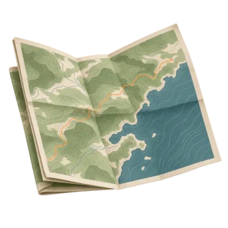
Printed map
From the park visitor center, the agency website or a USGS GeoPDF printed at home. Mark the route in pencil.

Compass
Light, no battery. Enough to orient the map and hold a direction.

Trip plan with someone at home
Route, start time and when to call for help. Offline maps do not tell anyone where you are.
Emergency without signal
iPhone 14 or later and Pixel 9 or later (except 9a) can text 911 by satellite in the US. You need open sky, and it is not a reason to skip the plan.
Offline maps questions
What does download offline maps mean?
It means saving part of a map to your phone’s storage while you have internet, so the app can still show that area later with no signal or data. Your position comes from GPS, which works without cell service.
Can you use Google Maps offline for hiking?
You can see a downloaded area and your blue dot, but Google Maps gives no walking directions offline, and many backcountry trails are missing from it. Use it to reach the trailhead and pair it with a hiking app or a paper map.
Can I use offline Google Maps for walking?
Only as a map. Google’s help page says walking, cycling and transit directions are unavailable offline; driving directions still work.
How do I download offline maps on my iPhone?
In Apple Maps (iOS 17 or later), search for a place and tap Download, or tap your picture, then Offline Maps, then add a map. In Google Maps on iPhone, search for the place, tap More, then Download offline map.
Are AllTrails maps available offline?
Yes, with a paid AllTrails Plus or Peak membership. Downloaded maps are under Saved, Downloads in the app. The free plan shows maps only with a connection.
Does Gaia GPS work offline?
Yes, once you download map areas or a route in the app before the trip. Check that the layer you need is included in your plan, and run the airplane mode test.
What is a good free hiking app with offline maps?
Organic Maps is free with no ads and an outdoors map style built from OpenStreetMap data. OsmAnd is free with a limited number of map downloads. Check that your trail is drawn in the app before you rely on it.
Does GPS work without cell service?
Yes. A phone’s GPS receiver listens to satellites and needs no cell signal or data. What you lose without signal is the map download, so save the map first.
Can I use a GPX file offline?
Yes. Import the GPX route into your hiking app at home, download the map around it, and the line shows on the trail with no signal.
How long does it take to download offline maps?
From a few seconds for a small area to many minutes for a large one with satellite imagery. It depends on the area, zoom level, layer and your Wi-Fi, so do it the evening before.
Ready to plan your hike? Pick a route, read the trail description and save the map before you leave.